Upload date
All time
Last hour
Today
This week
This month
This year
Type
All
Video
Channel
Playlist
Movie
Duration
Short (< 4 minutes)
Medium (4-20 minutes)
Long (> 20 minutes)
Sort by
Relevance
Rating
View count
Features
HD
Subtitles/CC
Creative Commons
3D
Live
4K
360°
VR180
HDR
41,973 results
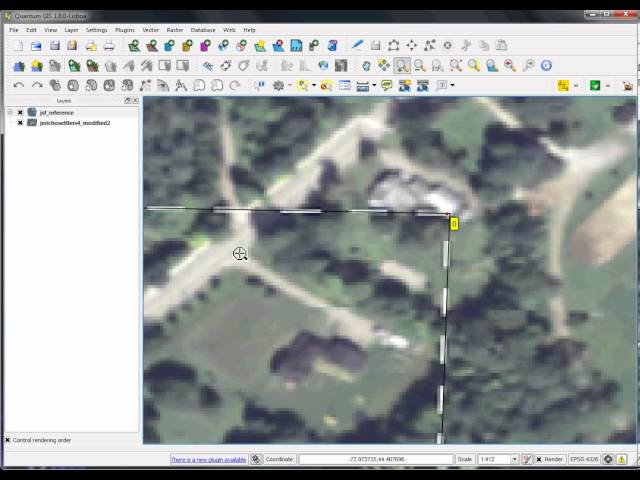
Creating and editing spatial data in ArcMap.
1,994 views
10 years ago
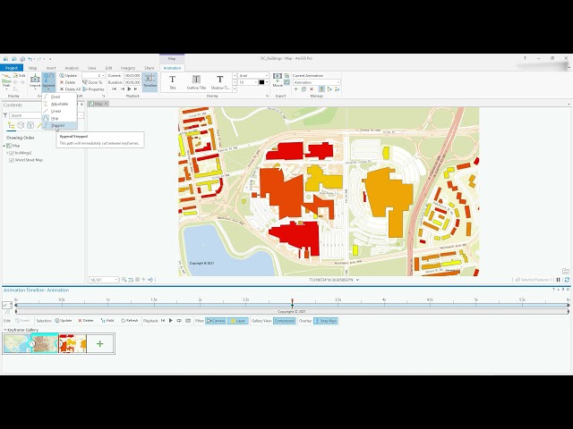
Video #104 This video will show you how to get started with creating smooth animations in ArcGIS Pro. Access the Animation ...
16,950 views
4 years ago
This video is somewhat outdated for an updated version see the video The Basics of GIS - ArcGIS pro ...
354 views
This is a quick demo of how to get raster layers out of an Esri File Geodatabase (.gdb folder) using ArcMap. This is useful for when ...
1,289 views
5 years ago
How to import a scanned map (print, historic, etc) and place it correctly in a GIS coordinate system.
1,583 views
8 years ago
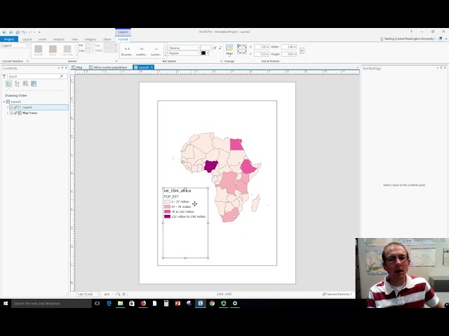
Dr. Sterling Quinn demonstrates how to make a basic map legend in ArcGIS Pro. Central Washington University offers a GIS ...
63,555 views
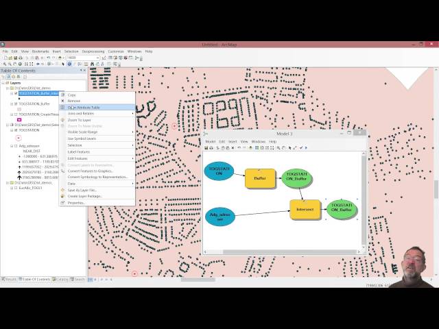
A introduction to the use buffer tool.
4,446 views
Video #123 In this short (3 minutes!) video, I demonstrate the Move, Rotate and Scale tools. I execute these tools on a polygon ...
14,680 views
This video shows how to use basic map topology in ArcMap and covers basic map topology editing tasks.
282 views
Video #148 In this short video I clarify what the contents of the project folder are when you start ArcGIS Pro with a Map template.
5,980 views
3 years ago
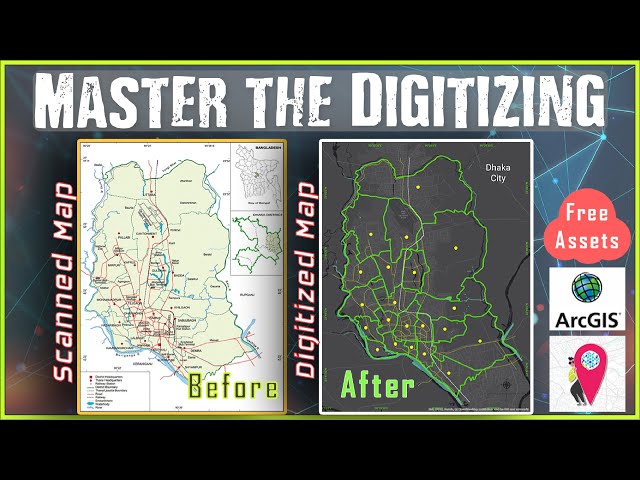
Learn Digitizing in ArcGIS from Basic to Advance within just 15 Minutes. Digitizing is the process of converting geographic ...
157,625 views
This basic GIS Tutorial is for Beginners or who are new in Arcgis Desktop.
6,349 views
9 years ago
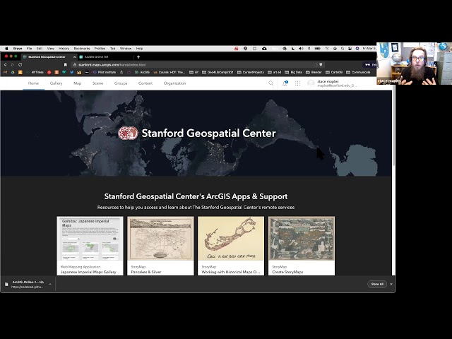
A production of the Stanford Geospatial Center, The Stanford Maps Library and The Branner Earth Sciences Library.
6,623 views
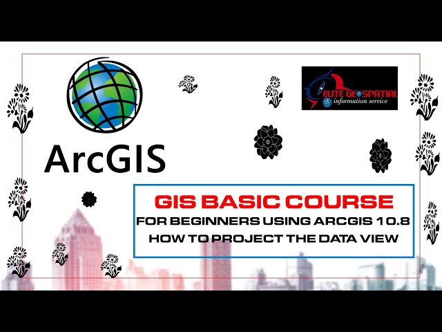
elite geospatial is a spatial company and a training institue its offers wide coverage in the area of gis and remote sensing. this ...
204 views
2 years ago
This screencast video shows you the steps involved from collecting field data (georegistered with a GPS device) then creating a ...
12,001 views
14 years ago
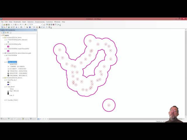
A introduction to calculating point density in ArcMap.
8,779 views
This video series goes through the process of delineating a watershed in the Napa region of California using Python and ...
412 views
Overview of how to use the ModelBuilder in ArcGIS to automate and document your GIS analysis procedures. In Part 1, we create ...
3,990 views
11 years ago
Dr. Sterling Quinn demonstrates how to use various snapping settings when editing vector data in ArcGIS Pro. Central ...
16,098 views
Preparing a paper map for data collection and later scanning.
300 views
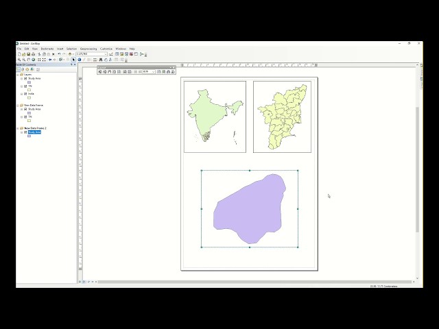
Highlight study area and prepare layout using Arcmap.
1,049 views
7 years ago
Download at qgis.org.
811 views
12 years ago
Using ArcGIS/ArcMap to group spatial units based on maximum similarity with respect to attribute values.
9,735 views
How to create NDBI on ArcGIS 10.8.2 #gis #howto #mapping #trending #erdasimagine #remotesensing There are lots of indexes ...
600 views
1 year ago
In this video, we continue using ArcGIS Pro and Python to create a flow accumulation raster from a flow direction raster layer.
77 views