Upload date
All time
Last hour
Today
This week
This month
This year
Type
All
Video
Channel
Playlist
Movie
Duration
Short (< 4 minutes)
Medium (4-20 minutes)
Long (> 20 minutes)
Sort by
Relevance
Rating
View count
Features
HD
Subtitles/CC
Creative Commons
3D
Live
4K
360°
VR180
HDR
3,041 results
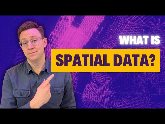
Most data is about what happens, but spatial data adds the crucial dimension of where it happens. Whether you're tracking real ...
16,149 views
1 year ago
For many GIS professionals, SQL and databases can feel intimidating. They seem like tools for data engineers, not map makers.
12,227 views
6 months ago
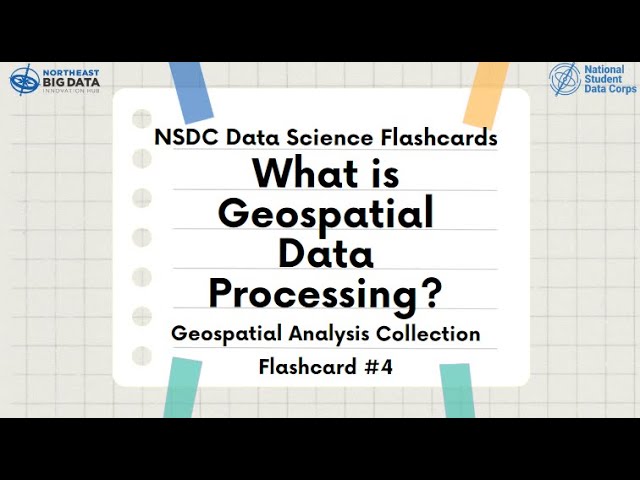
Learn about Geospatial Analysis with the National Student Data Corps! Why is geospatial data processing important? What are ...
411 views
2 years ago
#GIS is a technology that captures, stores, analyzes, and visualizes #geospatial data, offering insights for decision-making.
479 views
In the subject of Geographic Information Systems (GIS), the vector and raster formats are two ways of representing real-world ...
39,676 views
Speaker: Camilla Mahon, Satellite Product Manager at Mapbox Presentation Title: Modern Geospatial Tooling for Timely Decision ...
115 views
7 years ago
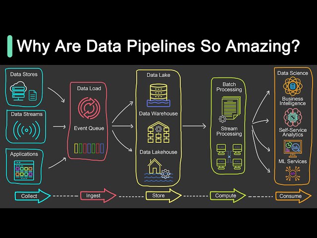
Get a Free System Design PDF with 158 pages by subscribing to our weekly newsletter: https://bit.ly/bytebytegoytTopic Animation ...
437,203 views
This forum presentation will discuss geospatial data-driven approaches for environmental studies. The approaches are new ways ...
297 views
4 years ago
Core Concepts: Learn the basics of GeoDataFrames, spatial joins, and geometry operations. Handling Geospatial Data: Work with ...
79,510 views
Speaker: Dr. Bruno Sánchez-Andrade Nuño | Impact Science Presentation Title: Scaling Planetary Insights with Geospatial Data ...
150 views
3 years ago
Content preview for Week 1 of the online course 'Geospatial Data Science with R'. Learn the skills to work effectively with spatial ...
631 views
In this video, we dive into every tool designed for spatial analytics, data storage, and geospatial data processing. Whether you're ...
5,991 views
Speaker: Dr. Nick Clinton | Earth Engine Developer Relations Team | Google Presentation Title: Geospatial Processing in the ...
338 views
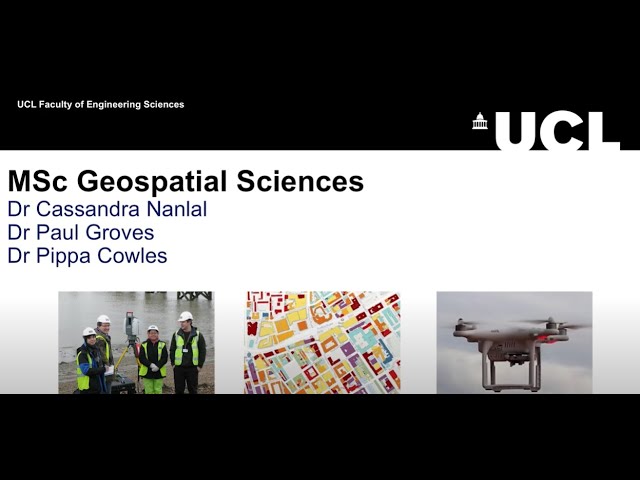
Explore geospatial sciences at UCL! Delve deeper into the acquiring, processing, and analysing of spatial data on the MSc ...
1,111 views
But if you're dealing with large-scale geospatial data, it's time to meet GeoParquet: the file format built for big data, cloud-native ...
4,776 views
7 months ago
Learn QGIS and Modern GIS in the Spatial Lab ➡️ https://forrest.nyc/spatial-lab/ ⬅️ Get ready to learn QGIS with this complete ...
556,789 views
If you have ever worked with Census Data, you may be recalling nightmares of hours spent staring at data and finding it ...
1,143 views
Welcome to Will Geospatial! In this beginner-friendly lesson, we dive into the world of Geographic Information Systems (GIS) and ...
24 views
10 months ago
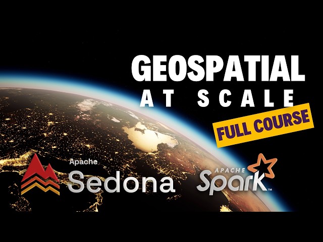
Apache Sedona gives you the tools to query and process spatial data natively inside Spark, using SQL or PySpark, without ...
6,494 views
9 months ago
1,048 views