Upload date
All time
Last hour
Today
This week
This month
This year
Type
All
Video
Channel
Playlist
Movie
Duration
Short (< 4 minutes)
Medium (4-20 minutes)
Long (> 20 minutes)
Sort by
Relevance
Rating
View count
Features
HD
Subtitles/CC
Creative Commons
3D
Live
4K
360°
VR180
HDR
4,141 results
For many GIS professionals, SQL and databases can feel intimidating. They seem like tools for data engineers, not map makers.
12,273 views
6 months ago
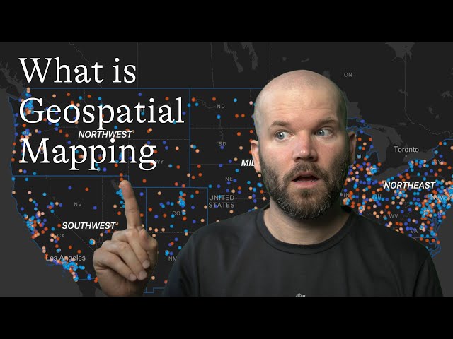
Geospatial mapping turns geographic data into visual insights that support real-world decisions. In this video, we explain how GIS, ...
505 views
1 month ago
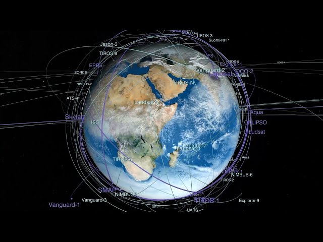
Geospatial intelligence isn't optional. It's mission critical. When mission success depends on speed, accuracy, and adaptability, ...
145 views
8 months ago
Got a minute? Get a high-level look at ENVI® and its capabilities and easy integration with Esri's ArcGIS products. To learn more ...
1,381,483 views
9 months ago
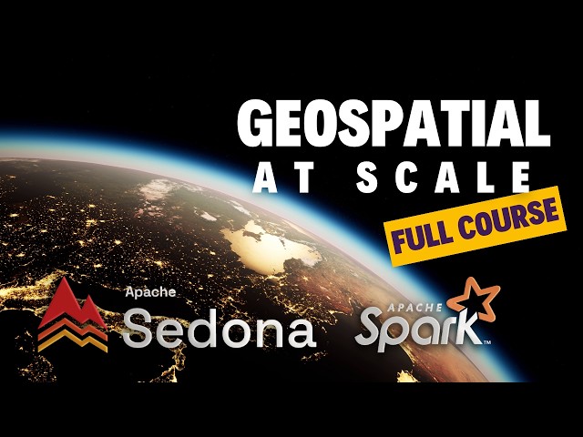
Apache Sedona gives you the tools to query and process spatial data natively inside Spark, using SQL or PySpark, without ...
6,501 views
Are you still wrestling with massive CSVs and complex Shapefile directories? In this practical session from the FME UK Tour, ...
131 views
The problem of matching GPS locations to roads and local government areas (LGAs) involves handling large datasets and a ...
363 views
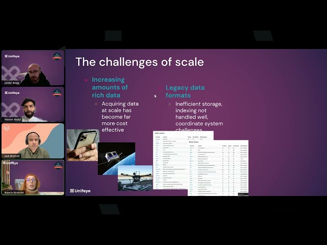
Most organizations capture huge volumes of spatial data, including addresses, coordinates, routes, and catchments, but struggle ...
146 views
4 months ago
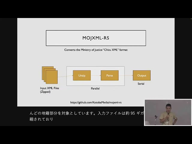
FOSS4G 2025 Japan Room C Session 6 Geospatial Data Processing using Rust / 小林敬太郎 セッションの概要は ...
57 views
Are your maps running slow or struggling with massive spatial datasets? In this video, we break down geospatial data ...
2,002 views
5 months ago
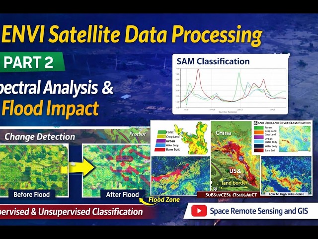
I'm happy to share the latest lecture in my ongoing ENVI satellite data processing series on my YouTube channel “Space Remote ...
94 views
13 days ago
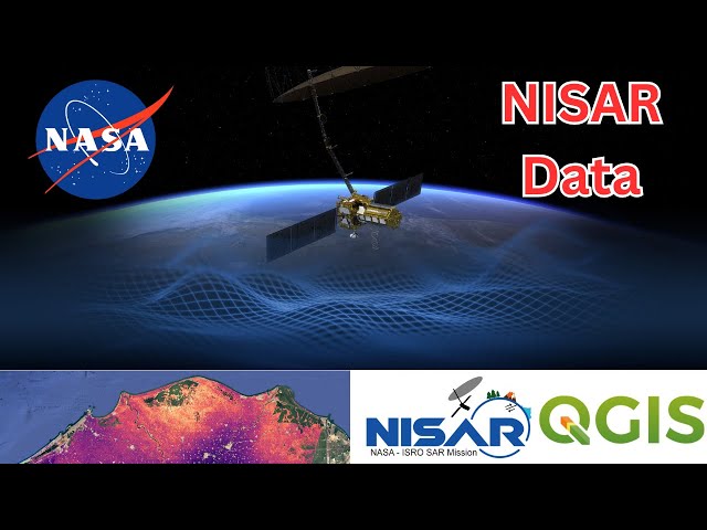
Learn how to download and visualize NASA-ISRO NISAR SAR satellite data in QGIS without coding! This complete tutorial shows ...
4,391 views
A step-by-step guide to collecting high-accuracy field data with an Emlid Reach GNSS Receiver. The full data processing ...
40,792 views
7 months ago
Every dataset has a story — and when it comes to geospatial data, it's a story deeply rooted in space and scale. But working with ...
252 views
This is a hands-on workshop for working with the Satellite Embedding dataset in Google Earth Engine. Access the presentation ...
5,360 views
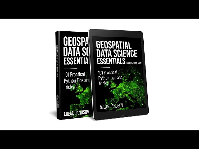
Milan Janosov's book provides a Python-based guide to geospatial data science. It covers vector and raster processing using ...
206 views
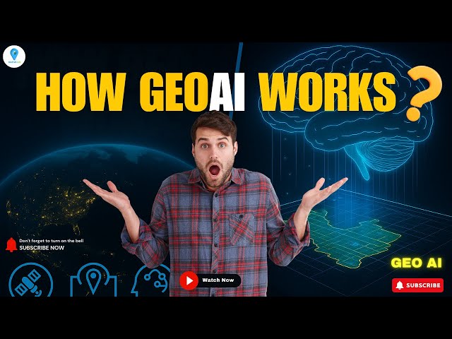
How does GeoAI actually work? In this video, we break down the fascinating workflow behind GeoAI (Geospatial Artificial ...
6,502 views
10 months ago
Description (SEO Optimized + Professional): Step into the future of Geospatial Technology with our GIS + Cloud Computing ...
40 views
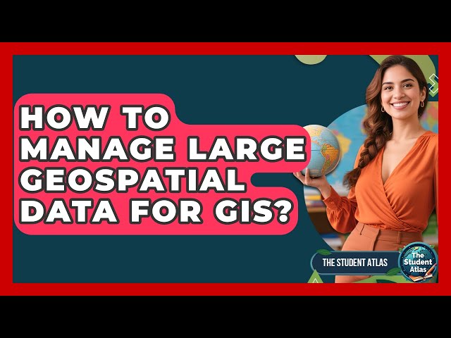
How To Manage Large Geospatial Data For GIS? Have you ever wondered how large amounts of location-based information are ...
13 views
Geospatial datasets are growing in size, often exceeding 100TB and reaching into Petabyte scale. Many of these datasets are ...
883 views