Upload date
All time
Last hour
Today
This week
This month
This year
Type
All
Video
Channel
Playlist
Movie
Duration
Short (< 4 minutes)
Medium (4-20 minutes)
Long (> 20 minutes)
Sort by
Relevance
Rating
View count
Features
HD
Subtitles/CC
Creative Commons
3D
Live
4K
360°
VR180
HDR
5,922,840 results
Have you heard the term "LiDAR" but are not quite sure what it is or how it works? In this video, Kory Kellum with Phoenix LiDAR ...
70,802 views
3 years ago
Jumpstart your robotics project with ease using Slamtech's plug-and-play LIDAR sensors! From quick setup to accurate data ...
106,570 views
1 year ago
Learn to use some basic LIDAR devices, with an Arduino and a PC. LIDAR units provided by DFRobot - https://www.dfrobot.com/ ...
1,545,198 views
7 years ago
124,561 views
Collecting LiDAR data efficiently and accurately is important, but it's only half of the equation! Once you have your data, what do ...
36,749 views
Check out our latest version of this video for Terra V5 here: https://youtu.be/aznD3S18jn0 Join DJI Senior Solutions Engineer Run ...
17,856 views
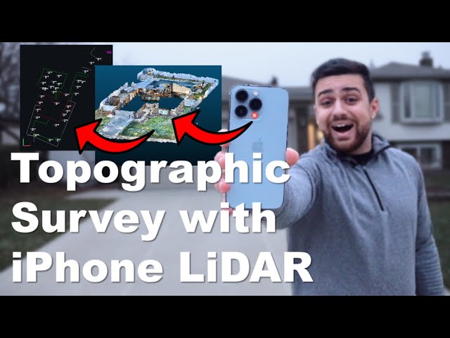
Join The Survey School - https://thesurveyschool.com/ Join me on Social Media: 🖥️ Website: https://www.tamimi.biz ...
116,820 views
4 years ago
The Equator user interface has been updated.***** Check out this video to learn more: ...
31,439 views
LiDAR3D = Architectural CAD/BIM Production services based on iOS LiDAR and other types of input. Consulting services for ...
106,704 views
If you want to know more about Drone Mapping & Drone Survey's this is the ultimate guide for you. Dave King breaks down every ...
229,351 views
Interested in LIDAR, Arduino and robotics? Check out this: https://indystry.cc/ml-robot I added a LIDAR to my overpowered robotic ...
420,551 views
What do you get when you pair a turnkey LiDAR solution and a client that is looking to have an aerial survey completed in 2-3 ...
274,029 views
Learn more about LiDAR with ROCK robotic - https://www.rockrobotic.com/ If you are interested in LiDAR then please reach out to ...
253,688 views
5 years ago
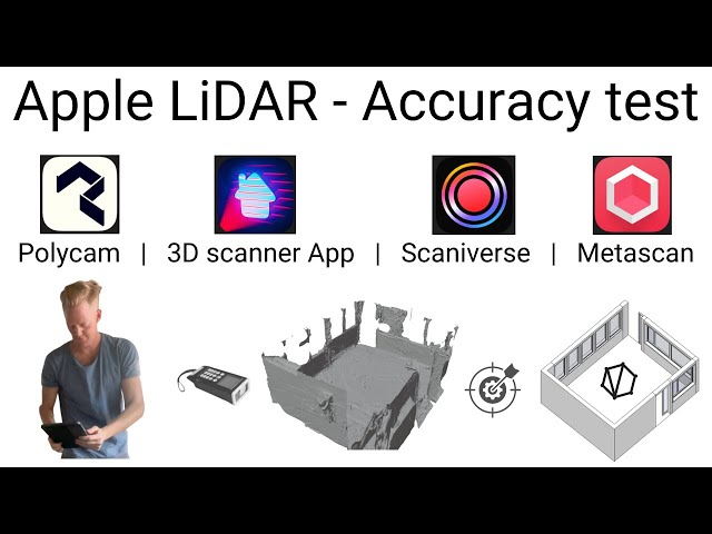
The Best LiDAR 3D scanning apps available. See the top 10 apps in action, how they work, and how to check the 3D data they ...
268,627 views
2 years ago
Dear LiDAR Qube 240 owner, in this Video we will show you how to process the data captured by the LiDAR Qube 240.
6,454 views
Read all about LiDAR News- https://www.geospatialworld.net/lidar-2/?utm_source=new-tech-top-menu Video Courtesy: Battelle, ...
568,693 views
8 years ago
LiDAR Mapping Is Revolutionising Gold Hunting! | Detector Maps LiDAR—originally developed for aerial mapping and military ...
77,229 views
7 months ago
Hey there fellow Python enthusiasts! In this tutorial, we'll be diving into the exciting world of 3D LiDAR point cloud vectorization ...
32,311 views
2D/3D Dual SLAM Robot with CygLiDAR(2D/3D Dual LiDAR) 2D/3D information was obtained using one LiDAR. CygLiDAR ...
137,812 views
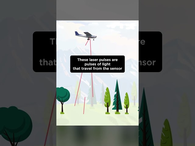
This NEON Science video overviews what lidar or light detection and ranging is, how it works and what types of information it can ...
1,000,787 views
11 years ago
"Lidar Technologies 101" provides an overview of how lidar works, commonly used lidar technologies, and their respective ...
54,983 views
This is the ultimate showdown between Photogrammetry and LiDAR! This video explores these cutting-edge 3D mapping ...
82,474 views
LiDAR or "Light Detection And Ranging" is all around us, but what is it? This short video explains the basics of LiDAR technology ...
82,162 views
Learn how to access lidar hillshade maps for free using the USGS's National Map online platform. We show you how to use ...
19,610 views
Interested in this project message me for a free tutorial learn Arduino trust sunfounder official Arduino partner.
45,665 views
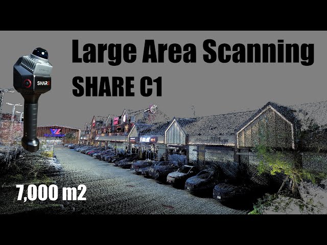
Scanning large, low-feature areas is a challenge for most LiDAR systems—but not for the SHARE C1. Its advanced SLAM ...
4,410 views
4 months ago
9,828 views
9 months ago