Upload date
All time
Last hour
Today
This week
This month
This year
Type
All
Video
Channel
Playlist
Movie
Duration
Short (< 4 minutes)
Medium (4-20 minutes)
Long (> 20 minutes)
Sort by
Relevance
Rating
View count
Features
HD
Subtitles/CC
Creative Commons
3D
Live
4K
360°
VR180
HDR
51,306 results
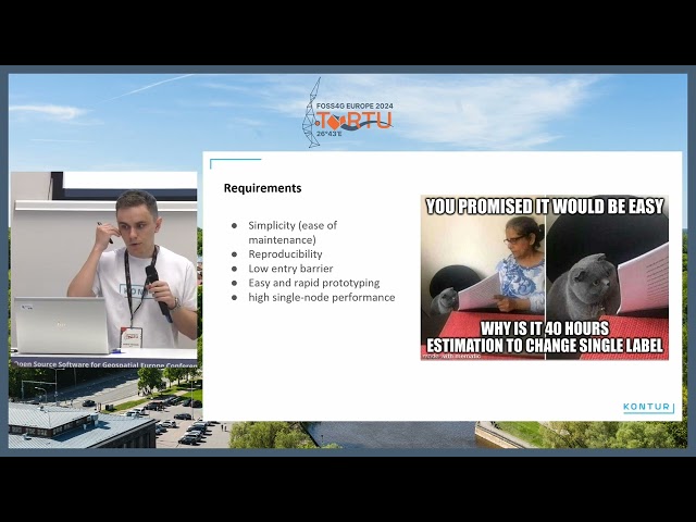
For data-driven organizations, it is critical to have reliable ETL processes. As an open-source tool, Geocint can help organizations ...
194 views
1 year ago
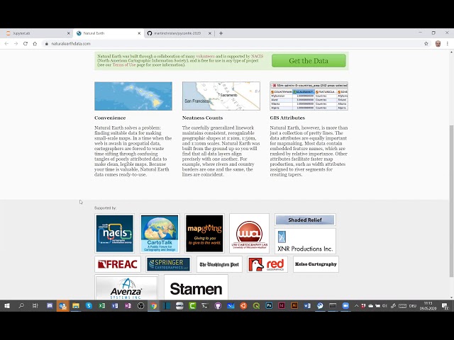
Martin Christen talks at virtual PyCon HK, May 9, 2020 Conference Schedule: https://pycon.hk/schedule-pycon-hk-2020-spring/
368 views
5 years ago
Core Concepts: Learn the basics of GeoDataFrames, spatial joins, and geometry operations. Handling Geospatial Data: Work with ...
79,797 views
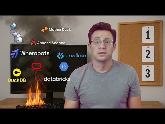
In this video, we dive into every tool designed for spatial analytics, data storage, and geospatial data processing. Whether you're ...
5,998 views
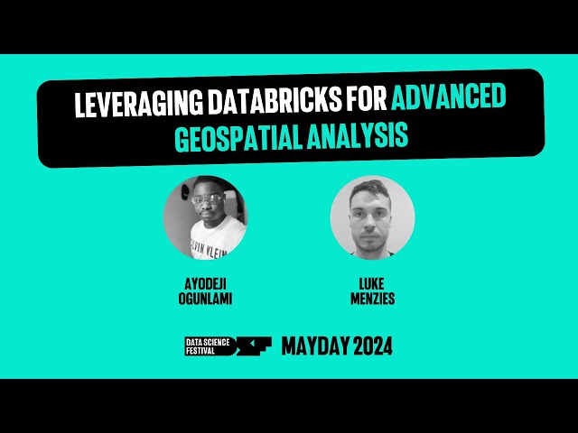
A talk by Ayodeji Ogunlami and Luke Menzies from Advancing Analytics. In the rapidly evolving field of Geographic Information ...
445 views
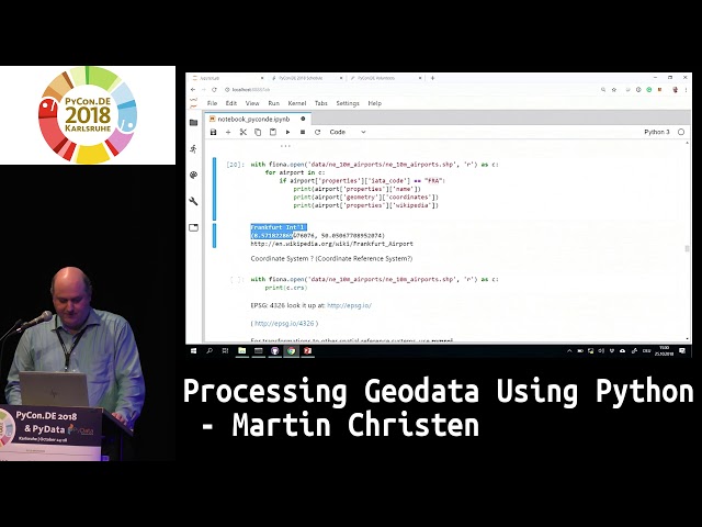
There is a large amount of Python modules available suitable for spatial data processing. In this talk, it is shown how to analyze, ...
616 views
7 years ago
Learn QGIS and Modern GIS in the Spatial Lab ➡️ https://forrest.nyc/spatial-lab/ ⬅️ Get ready to learn QGIS with this complete ...
558,417 views
2 years ago
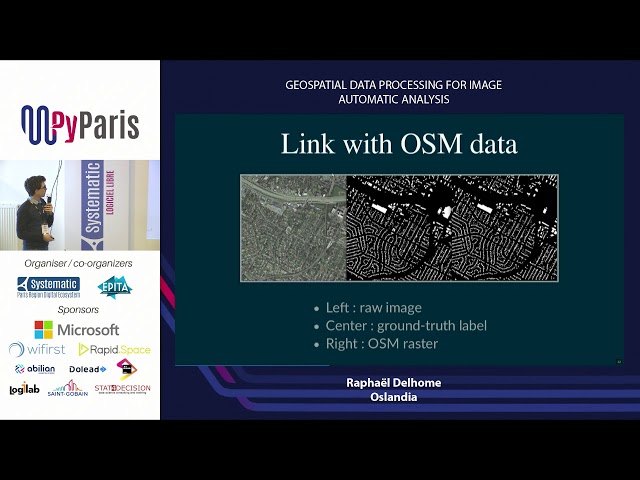
Geospatial data processing for image automatic analysis (Raphaël Delhome, Oslandia.
100 views
The problem of matching GPS locations to roads and local government areas (LGAs) involves handling large datasets and a ...
364 views
8 months ago
Are your maps running slow or struggling with massive spatial datasets? In this video, we break down geospatial data ...
2,007 views
5 months ago
You can support this channel in a few different ways: Learn more and earn certificates in GIS, spatial data science, and data ...
10,127 views
Most organizations capture huge volumes of spatial data, including addresses, coordinates, routes, and catchments, but struggle ...
146 views
4 months ago
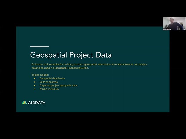
Guidance and examples for building location (geospatial) information from administrative and project data to be used in a ...
761 views
3 years ago
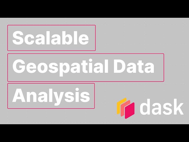
Dask is a flexible parallel computing library that seamlessly integrates with popular Python data science tools. With its task graph ...
93 views
We'll go through some high-level examples of various kinds of geospatial analysis, at scale. We'll see how the tools developed by ...
794 views
4 years ago
You will learn to use QGIS for mapping, spatial data processing, and spatial analysis. This class is ideal for participants with a ...
177,108 views
If your interested into deep learning for the satellite images, this full hands-on coding workshop is best resources for you. The full ...
112,513 views
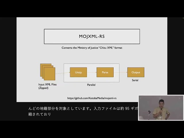
FOSS4G 2025 Japan Room C Session 6 Geospatial Data Processing using Rust / 小林敬太郎 セッションの概要は ...
59 views
Apache Sedona gives you the tools to query and process spatial data natively inside Spark, using SQL or PySpark, without ...
6,511 views
9 months ago
In this tutorial, you will learn about the various Python modules for processing geospatial data, including GDAL, Rasterio, Pyproj, ...
817 views