Upload date
All time
Last hour
Today
This week
This month
This year
Type
All
Video
Channel
Playlist
Movie
Duration
Short (< 4 minutes)
Medium (4-20 minutes)
Long (> 20 minutes)
Sort by
Relevance
Rating
View count
Features
HD
Subtitles/CC
Creative Commons
3D
Live
4K
360°
VR180
HDR
9,683 results
This video is a very basic look at QGIS for Absolute Beginners. At times it is really fast ( I mean it, it is wicked fast), and you will ...
839,572 views
6 years ago
Stacie Wolny, GIS Analyst with the Natural Capital Project provides an overview of coordinate systems and projection using ...
1,774 views
4 years ago
In this video i present the basic workflow of editing data and creating a map design/layout including exporting it as PDF using ...
67,449 views
7 years ago
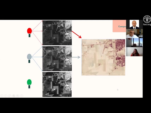
The advancement of statistical tools applied to environmental sciences has been very fast over the last years; however, the same ...
1,124 views
5 years ago
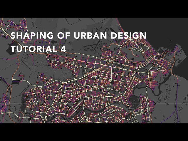
In this comprehensive GIS tutorial, we'll move beyond basic mapping to answer a critical urban planning question: How ...
2,630 views
8 months ago
In this session we will start with a few GRASS GIS basics, showing its concepts. We then focus on analysing the ECA&D data ...
3,102 views
Day 1 workshop 29th of April 2021, with exercises.
586 views
Integrated Land-use Plan (ILUP) for Food Security by Enhancing Climate Resilience and Ecosystem Management-Turkey ...
2,331 views
A tutorial on map algebra in GRASS GIS. Software: GRASS GIS Tutorial: http://baharmon.github.io/map-algebra-in-grass Data: ...
714 views
This video explains how to use Depthmap to create Space Syntax measures of Integration and Choice of a street network, export ...
39,541 views
19,148 views
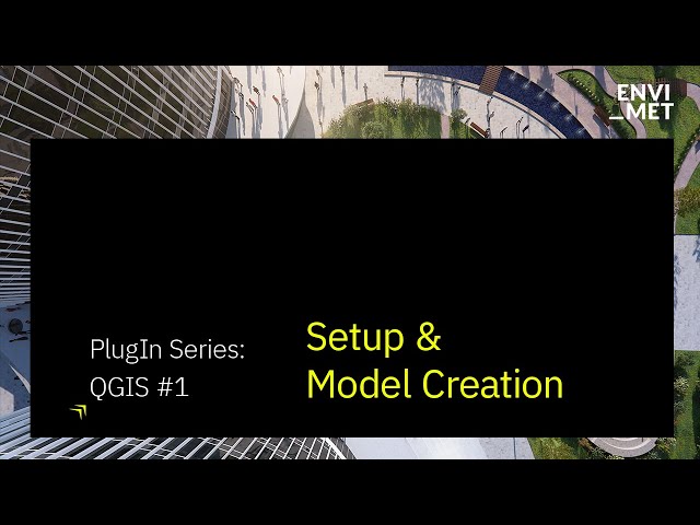
In this first part of the tutorial series, we'll cover three critical aspects for setting up your ENVI-met projects within QGIS: ...
9,483 views
2 years ago
369 views
10 years ago
For more UNCG webinars: https://uncg.libguides.com/webinars.
65 views
Styling qualitative and quantitative maps in QGIS. QGIS: http://qgis.org/en/site/
7,477 views
11 years ago
3D GIS is becoming increasingly important, especially for practices such as the analysis of Geophysical data (such as GPR, ...
204 views
Stacie Wolny, GIS Analyst with the Natural Capital Project provides an overview of coordinate systems and projection using QGIS.
1,728 views
MOLUSCE is a quick and convenient tool to analyse land cover changes in QGIS. With version 4.0 it's now available in the latest ...
19,119 views
1 year ago
Let me start just with a brief introduction as Riis a global company providing GIS technology which enables organizations to create ...
196 views
And I want to especially welcome our Stanford library's GIS team colleagues and this is the demo for sprint number four the ...
44 views