Upload date
All time
Last hour
Today
This week
This month
This year
Type
All
Video
Channel
Playlist
Movie
Duration
Short (< 4 minutes)
Medium (4-20 minutes)
Long (> 20 minutes)
Sort by
Relevance
Rating
View count
Features
HD
Subtitles/CC
Creative Commons
3D
Live
4K
360°
VR180
HDR
2,484 results
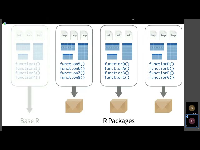
Dewey Dunnington Regardless of which programmiing language is your favourite, the R language for statistical computing is here ...
804 views
Streamed 4 years ago
The Earth Observation Lab (https://eolab.de/) is a facility of Rhine-Waal University of Applied Sciences (http://hsrw.eu/).
1,141 views
5 years ago
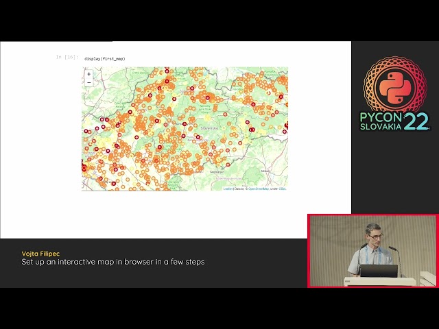
Maps are popular means to visualise geospatial data. Companies often possess datapoints with latitute and longitude; ...
165 views
3 years ago
https://media.ccc.de/v/bucharest-189-3-6-million-points-to-polygons-lessons-learned-while-generating-voting-districts-with-qgis- ...
58 views
6 years ago
Read, create, and modify geospatial shapefiles (vector data) with OSGeo in Python and materials provided at ...
400 views
Familiarity with big data is necessary for students to be competitive in the geoscience workforce. While the tools evolve over time, ...
14 views
5 months ago
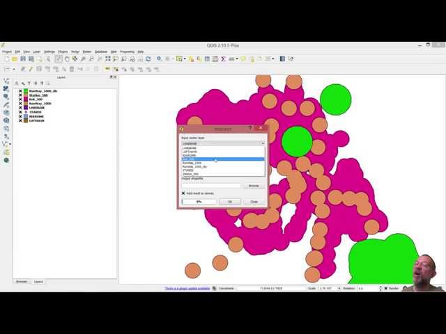
Introduction to geoprocessing in QGIS (Buffer and overlay)
21,284 views
10 years ago
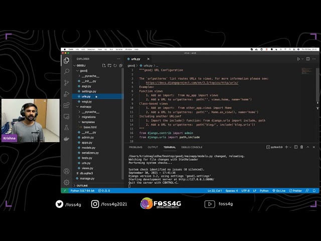
This talk explains the easy and effective way to develop REST API within a couple of minutes using GeoDjango and Django Rest ...
5,337 views
4 years ago
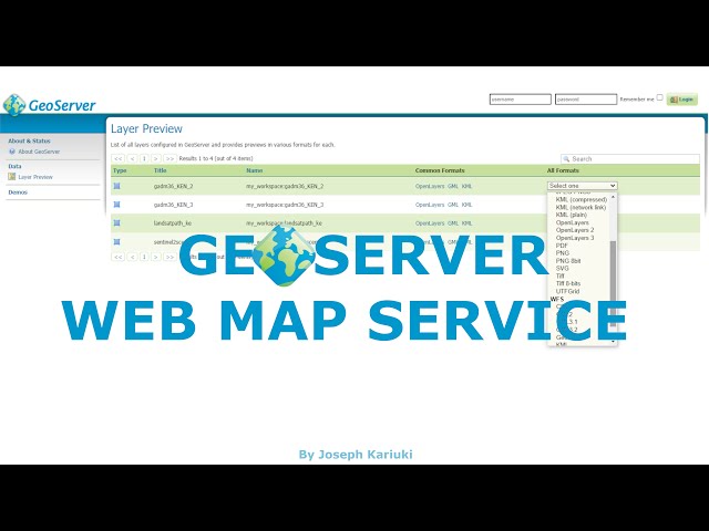
In this video, we have a look at GeoServer Web Map Service (WMS) which is used in Web GIS and provides an interface to ...
2,604 views
Paolo Melchiorre from 20tab presents at PostGIS Day 2021. A map in a website is the best way to make geographic data easily ...
11,024 views
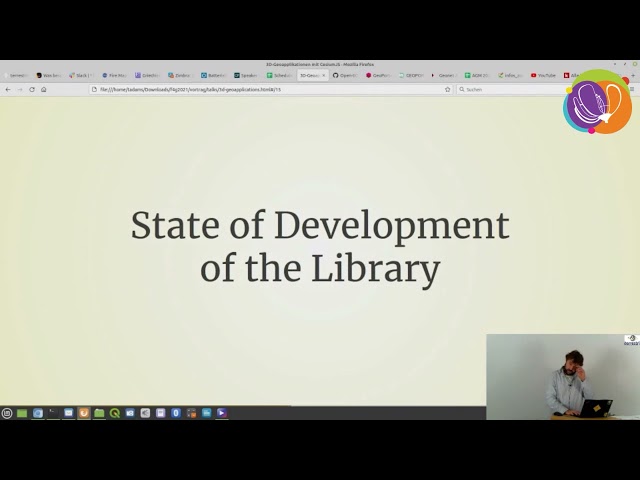
With the development of 3D applications related to geography, the standards and specifications for the provision of corresponding ...
998 views
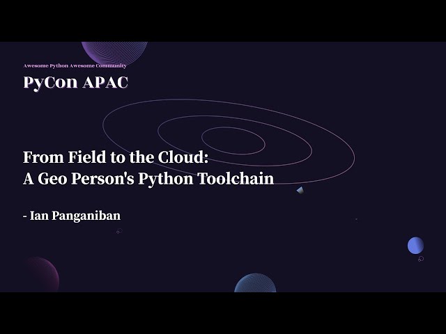
PyCon APAC 2022|一般演講 Talks|國泰金控 Cathay Financial Holdings / 美光科技 Micron 冠名贊助 ✏️ 共筆 ...
85 views
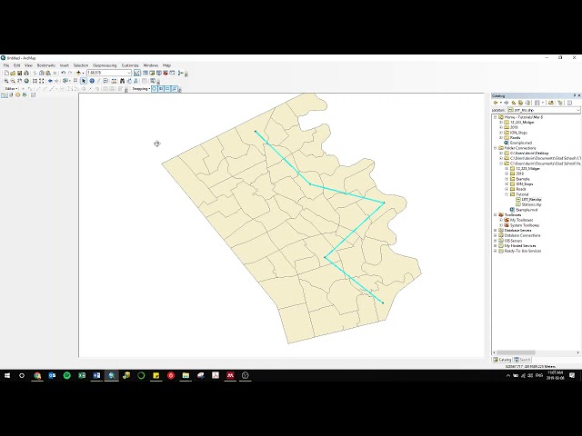
Lecture 31 : Creating shapefiles from georefrenced maps.
1,400 views
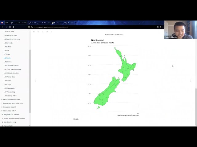
Derek Sollberger presents Chapter 5 ("Geometry operations") from Geocomputation with R by Robin Lovelace, Jakub Nowosad, ...
92 views
2 years ago
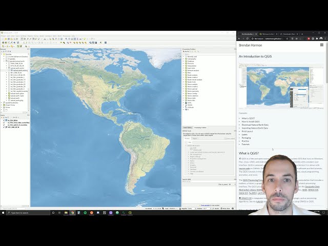
An introduction to cartography in QGIS. Software: QGIS Tutorial: http://baharmon.github.io/intro-to-qgis Data: ...
2,530 views
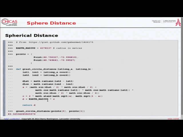
lecture by B. Rowlingson http://www.geostat-course.org/Bergen_2014.
532 views
11 years ago
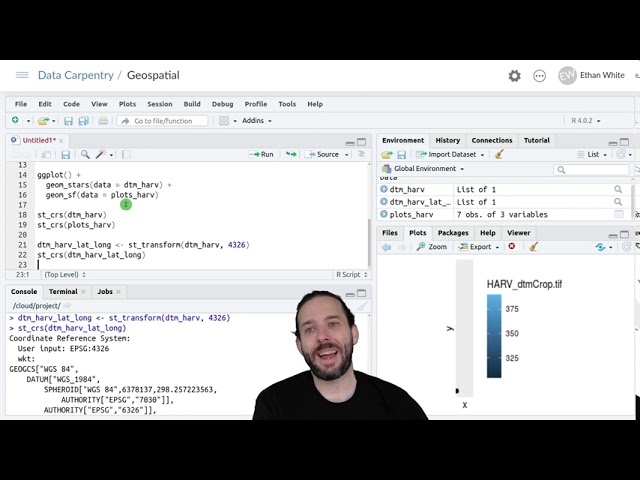
So this is where we've gotten to up to this point we can load raster data and graph it; we can load vector data and graph it.
7,239 views
The presentation aims to provide attendees with enough information to master GeoServer styling documents and most of ...
365 views
Phoebe Wild Heritage Consultant, CBA Studios, Ellie Winter.
956 views
ArcGIS drawing tutorial for students in Transit Planning and Operations, Winter 2019 Part 1 (Connecting to folder, adding data): ...
132 views
7 years ago