Upload date
All time
Last hour
Today
This week
This month
This year
Type
All
Video
Channel
Playlist
Movie
Duration
Short (< 4 minutes)
Medium (4-20 minutes)
Long (> 20 minutes)
Sort by
Relevance
Rating
View count
Features
HD
Subtitles/CC
Creative Commons
3D
Live
4K
360°
VR180
HDR
537 results
Seit Version 8 unterstützt MapServer auch die OGC API: Features, weitere Standards werden sicher folgen. In der Demo-Session ...
200 views
1 year ago
This talk will be about the art of beautiful digital cartography. Some of the features in Mapserver can contribute to making maps ...
42 views
https://media.ccc.de/v/bucharest-271-mapserver-optimize-for-performance # MapServer, Optimize for performance The ...
208 views
6 years ago
https://media.ccc.de/v/bucharest-269-state-of-mapserver MapServer 7.4 was released earlier this year. The main focus of this ...
846 views
MapServer doesn't have any build-in administration tool. MapServer REST API has been designed to manipulate the mapfile from ...
3,941 views
12 years ago
https://media.ccc.de/v/fossgis2022-13947-neues-vom-mapserver-8-0- Im November 2021 ist ein neues Haupt-Release von ...
379 views
3 years ago
MapCache is a new member in the family of tile caching servers. It aims to be simple to install and configure (no need for the ...
4,119 views
Anyone who has tried to create great looking maps for a large dataset such as OpenStreetMap knows how daunting of a task that ...
3,900 views
MapServer is an OSGeo project for publishing spatial data and interactive mapping applications to the web [1]. 2021 will see the ...
1,351 views
4 years ago
This session starts with a status report of the MapServer project, followed by an open question/answer session to provide a ...
257 views
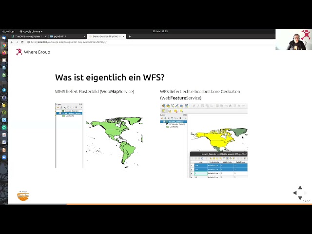
https://media.ccc.de/v/fossgis2021-9037-konfiguration-eines-wfs-t-mit-mapserver-und-tinyows MapServer selbst kann keinen ...
321 views
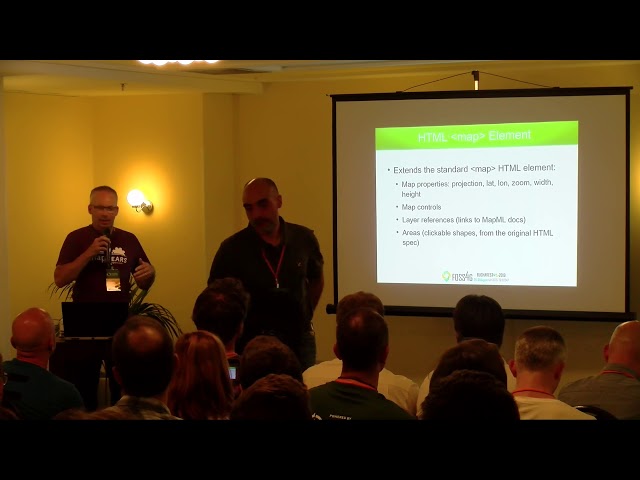
https://media.ccc.de/v/bucharest-363-mapml-the-new-map-html-element-now-in-mapserver-gdal-and-ogr The W3C Maps for ...
201 views
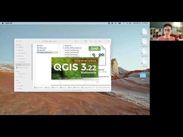
Learn how to create a free, interactive web map using the open-source mapping software, QGIS, and the QGIS2Web plugin.
51,204 views
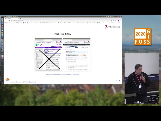
https://media.ccc.de/v/fossgis2020-3093-mapserver-statusbericht Am Horizont erscheinen die ersten Anzeichen für MapServer 8, ...
131 views
5 years ago
Karten-Vektorkacheln (aka vector tiles) sind ein Datenformat das besonders für interaktive Web-GIS-Anwendungen interessant ist.
99 views
Presented by Taichi Furuhashi on 19 November 2025 14:30, at FOSS4G 2025 Auckland. Track: Academic Full presentation ...
32 views
2 months ago
Wo liegen die Unterschiede zwischen den drei Engines, was sind Gemeinsamkeiten, Schnittstellen und womöglich spezifische ...
5,456 views
This presentation will introduce a high level idea of creation of a web service that returns the map content generated "on the fly".
76 views
https://media.ccc.de/v/fossgis2021-8911-geostyler-mapfile-parser Der GeoStyler Mapfile Parser kann automatisch ...
67 views
At the beginning of this century, the very existence of geo-services based on an uniform API like WMS aroused admiration. Today ...
1,013 views