Upload date
All time
Last hour
Today
This week
This month
This year
Type
All
Video
Channel
Playlist
Movie
Duration
Short (< 4 minutes)
Medium (4-20 minutes)
Long (> 20 minutes)
Sort by
Relevance
Rating
View count
Features
HD
Subtitles/CC
Creative Commons
3D
Live
4K
360°
VR180
HDR
3,908,471 results
Explore practical geospatial and GIS skills with courses and resources from GeoDelta Labs: https://www.geodeltalabs.com ...
1,967,016 views
5y ago
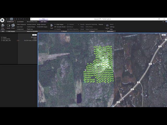
This workshop explains mapping features that RealityCapture offers. It is divided into two main sections – georeferencing and ...
26,321 views
6y ago
Microsoft Excel is an extremely powerful data analysis and a data visualization software package. 3D Maps of Microsoft Excel is ...
123,918 views
4y ago
Georeferencing is the process of associating geographic coordinates with a digital image or map. This enables the image or map ...
80,099 views
3y ago
In this tutorial, you will learn how to digitize polygon, polyline and point features in ArcGIS Pro. Creating features by digitizing in ...
61,002 views
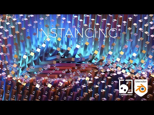
In this tutorial we work with Instancing, a very powerful technique with which we can create lots of copies of one SOP in an efficient ...
68,553 views
Support us on Patreon: https://www.patreon.com/entagma This time we'll create the "plexus" effect with Geometry Nodes inside of ...
106,454 views
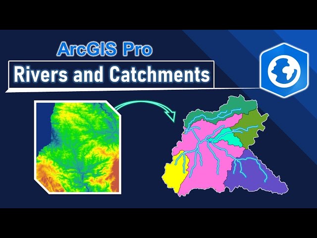
In this tutorial, you will learn how to delineate catchments and derive the associated river networks, with the help of a digital ...
74,774 views
2y ago
BUY 3D models from Sketchfab: https://bit.ly/SKFB_JoeyC Patreon, Gumroad, Discord, and other stuff: https://linktr.ee/Joeycarlino ...
143,631 views
This video will show you how to get from a 3 point problem, to strike lines, an outcrop pattern, and apparent dip of the unit as ...
85,105 views
And along with this data set I also have five known points recorded which I will be using these known points as checkpoints to ...
40,262 views
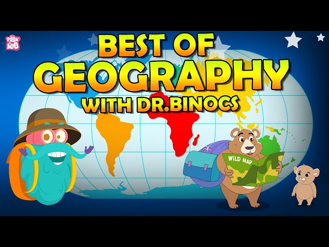
Best Of Geography With Dr. Binocs | What is Pangea? | Seven Continents | Landforms of Earth | Four Domains of Earth | What are ...
2,618,322 views
0:00 - Introduction 3:38 - Exercise 7.1: Set-up 22:39 - Exercise 7.2: Natural Neighbor 41:00 - Exercise 7.3: Inverse Distance ...
145 views
4w ago
By, Javi Santana Help us caption & translate this video! http://amara.org/v/FS0u/
309 views
11y ago
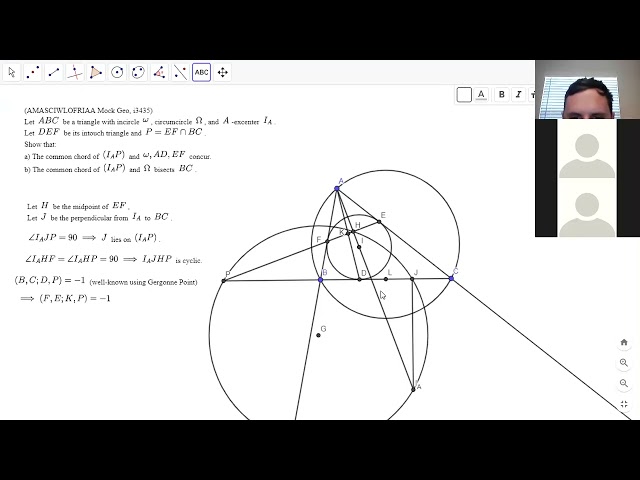
In the second half of this session, we took a look at one problem from a contest by i3435 (a former participant on this channel), but ...
In the first half of this session, we worked through an easier problem from the recent Iranian Geometry Olympiad, and then solved ...
216 views
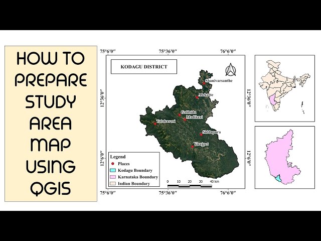
study_area_map #qgis #map_layout #SS - Smart Search - Live up to mark Click Here for More: https://bit.ly/2V0wGMq ...
215,366 views
Blender #GeometryNodes #Tutorial Project Files: https://crossmindstudio.gumroad.com/l/ZctML Benefit code Crossmindx15'' for ...
243,276 views
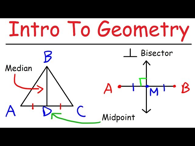
This video tutorial provides a basic introduction into geometry. Geometry Introduction: ...
2,666,519 views
7y ago
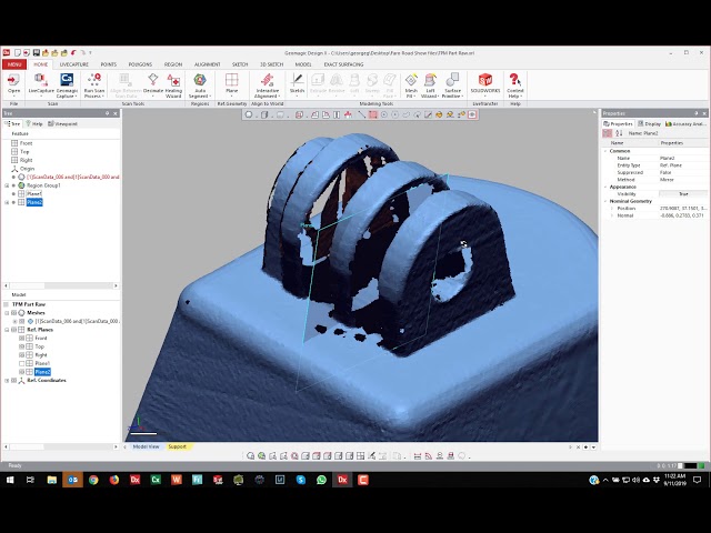
Here is a link to the scan data.
48,904 views