Upload date
All time
Last hour
Today
This week
This month
This year
Type
All
Video
Channel
Playlist
Movie
Duration
Short (< 4 minutes)
Medium (4-20 minutes)
Long (> 20 minutes)
Sort by
Relevance
Rating
View count
Features
HD
Subtitles/CC
Creative Commons
3D
Live
4K
360°
VR180
HDR
35 results
In this video, we take the DJI Inspire for a couple of test flights to gather 4K photos to use for a 3D geographic survey. Along for the ...
4,818 views
9 years ago
Using Google earth.
35 views
Streamed 1 year ago
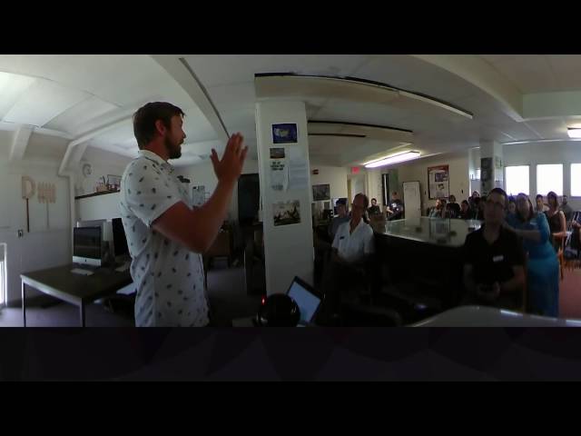
This is the future of online education. You may not live in Madison, but with 360-degree workshops from the UW Cart Lab, you are ...
503 views
subscribe my chanel.
6 views
Streamed 3 years ago
79 views
6 years ago
Tangible teaching study conducted by Geo for all lab and Landscape Architecture department at College of Design, NC State.
111 views
8 years ago
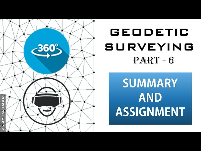
In this 360° Video ( हिंदी ) : GEODETIC SURVEYING : ✷ Brief revision of whole geodetic surveying ✷ Assignment of ...
2,437 views
Remote Sensing.
18 views
Streamed 5 years ago
Geography is spatial analysis and interaction between spatial and society and her appropriation. Geomatic's users spend a lot ...
959 views
MobileEyes virtual reality user perspective User-friendly inspection software for pre-plans, engine company inspections, life-safety ...
1,540 views
As I am working towards my 107 test I have been doing some research on how I can use my Phantom 3 Standard to make some ...
315 views
10 August 2017.
43 views
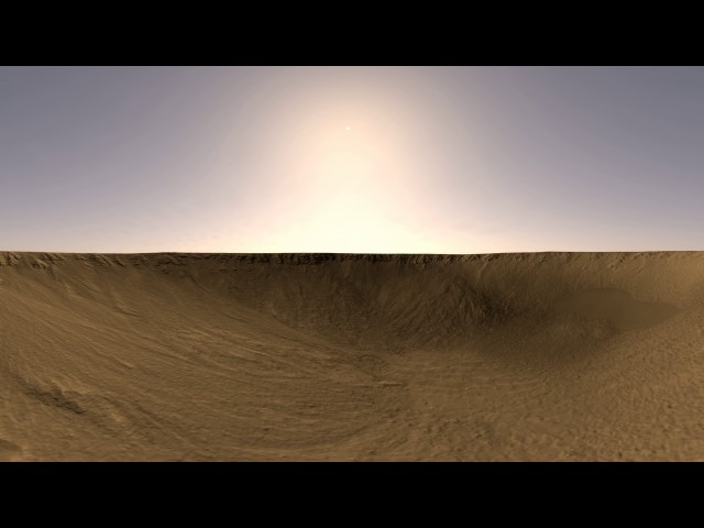
Created using NASA/HiRISE Digital Terrain Model and Orthoimagery data in Autodesk Maya, Adobe Photoshop, gdal, and ffmpeg ...
984 views
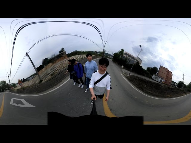
Nikon keymission360을 이용하여 학교 주변 산책길 촬영.
54 views
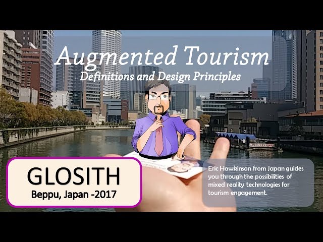
The 1st Global Congress of Special Interest Tourism & Hospitality Name: Eric Hawkinson Associate Professor of Learning Design ...
293 views
143 views
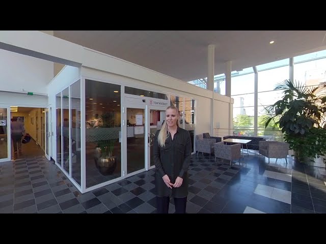
På Trafikverket finns det över 9000 anställda och en otrolig bredd av olika yrken bla ingenjörer. Idag får vi följa Åsa, Gabriel, Zeid ...
2,603 views
Questo progetto è stato sviluppato nell'ambito del percorso di ricerca della cattedra di Archeologia Medievale dell'Università degli ...
641 views
2 years ago
Check out Cornerstone Mapping's Cessna T206H taking off taking-off to fly aerial photography after the 2019 flooding in Nebraska ...
266 views
Citation Dick Ainsworth , Tom DeFanti , Dan Sandin 2022: Madaen Saleh Second Tomb Interior - Photogrammetry - Terrestrial ...
146 views
3 years ago


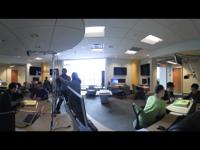
![Surveying with 360 Camera [DevDroneMapper]](/api/proxy/image?url=https%3A%2F%2Fi.ytimg.com%2Fvi%2FlDwdi8RJNuQ%2Fsddefault.jpg)