Upload date
All time
Last hour
Today
This week
This month
This year
Type
All
Video
Channel
Playlist
Movie
Duration
Short (< 4 minutes)
Medium (4-20 minutes)
Long (> 20 minutes)
Sort by
Relevance
Rating
View count
Features
HD
Subtitles/CC
Creative Commons
3D
Live
4K
360°
VR180
HDR
57,758 results
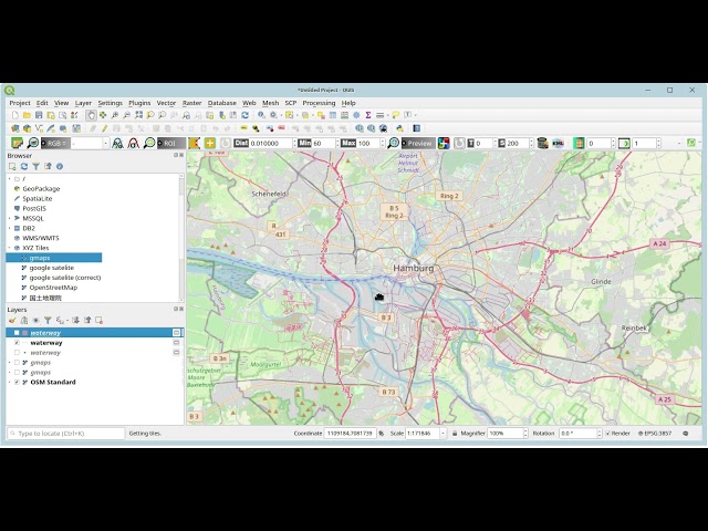
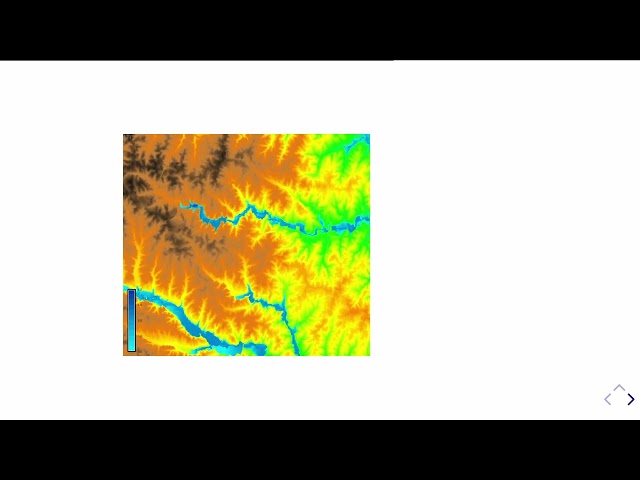
In this video we use QGIS and Blender GIS to import maps, heightmaps, and OSM data accurately into Blender. QGIS: ...
59,199 views
1 year ago
Real example of GIS.XL add-in use. Import data from Excel to shapefile, display heat map, create simple result image, export data ...
2,370 views
9 years ago
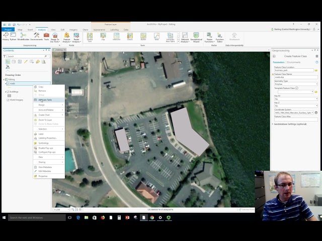
Dr. Sterling Quinn demonstrates how to create new shapefiles in ArcGIS Pro and digitize some basic data by tracing satellite ...
28,631 views
4 years ago
A very quick introduction to a few of the terms and concepts that you might come across when talking about Geographical ...
117 views
11 years ago
The choice of scale is crucial for transproting information: scales depend on area in reality (South America vs. Brasilia), the size of ...
260 views
5 years ago
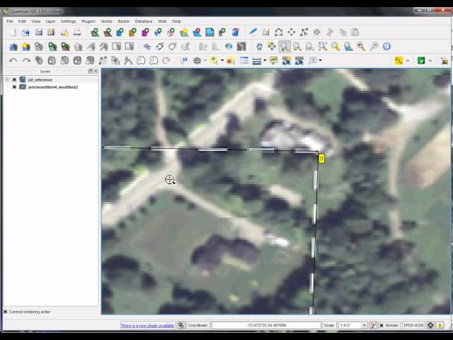
Dr. Sterling Quinn demonstrates how to use various snapping settings when editing vector data in ArcGIS Pro. Central ...
15,909 views
Update December 2025 *** The latest version of the addon is working with Bledner 5.0 again you can download it here: ...
1,982,001 views
6 years ago
Video shows how GIS application are added to the EEA Web CMS (Plone).
1,648 views
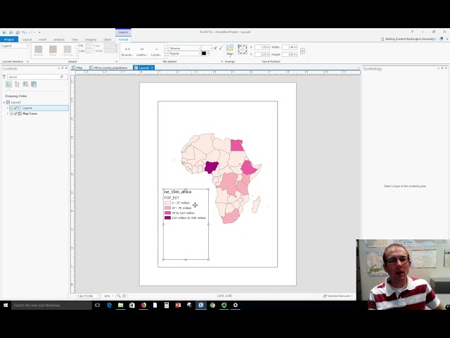
Dr. Sterling Quinn demonstrates how to make a basic map legend in ArcGIS Pro. Central Washington University offers a GIS ...
63,235 views
A short videotutorial to illustrate how to recover old excavations data and changing them from local (cartesian) coordinate systems ...
2,232 views
Empfehlung: Mit 1,5-facher Geschwindigkeit angucken google maps url: ...
22,729 views
Download at qgis.org.
810 views
12 years ago
Video #148 In this short video I clarify what the contents of the project folder are when you start ArcGIS Pro with a Map template.
5,921 views
3 years ago
Dr. Sterling Quinn demonstrates how to make a simple map legend in QGIS 3. Central Washington University offers a GIS ...
36,796 views
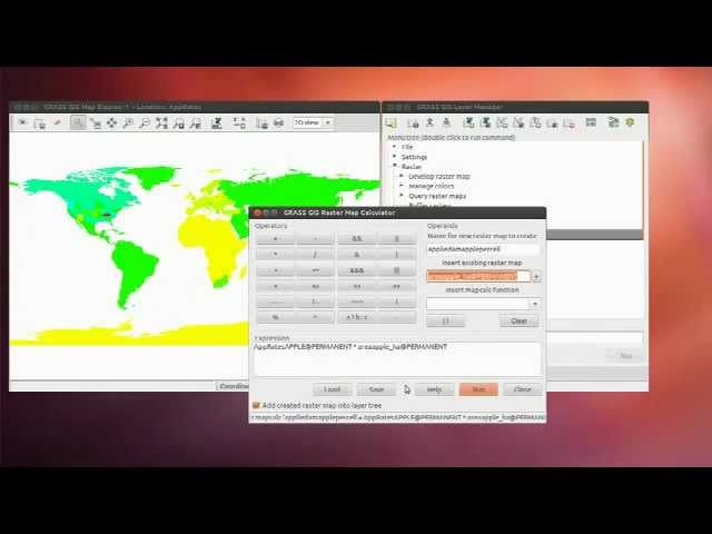
Although integration of GRASS GIS with Python has been well supported for several years, using GRASS with computational ...
318 views
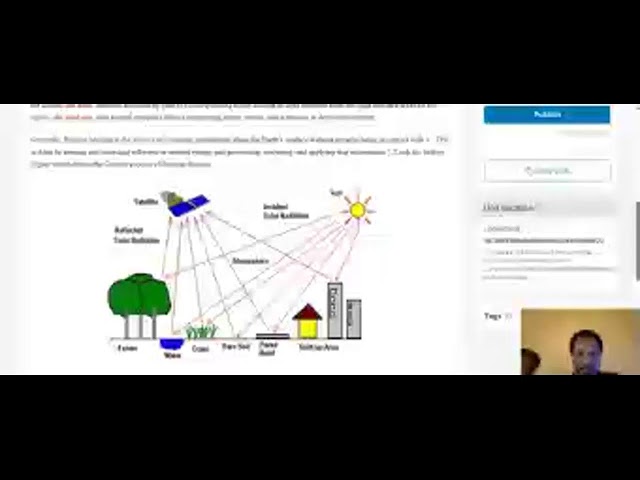
Introduction to Remote Sensing.
0 views
Streamed 3 months ago
This video was created as part of an Erasmus + project. It was originally going to be in-person training but due to COVID-19 the ...
567 views
ScreenCast by Jörg Rapp 05/2012 (Environmental Scientist) shows the application of OpenSource Software for Generation of GIS ...
5,794 views
13 years ago
My arcgis folder press right click new python file i'll rename mine arc gis. Let's import arc gis library if you don't already have ...
264 views
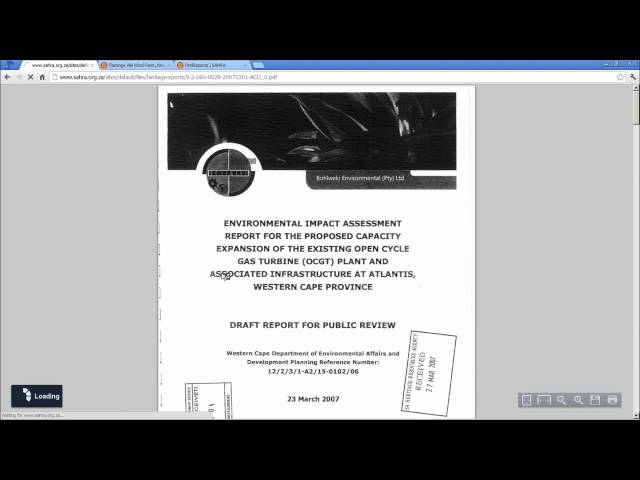
This chapter covers the GIS mapping of reports and cases, finding content on SAHRIS and filtering by various queries.
300 views
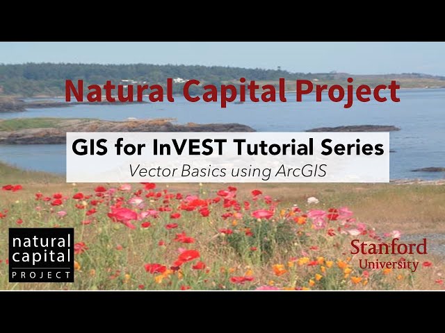
Stacie Wolny, GIS Analyst with the Natural Capital Project provides an overview of vector basics using ArcGIS. GIS for InVEST ...
1,458 views
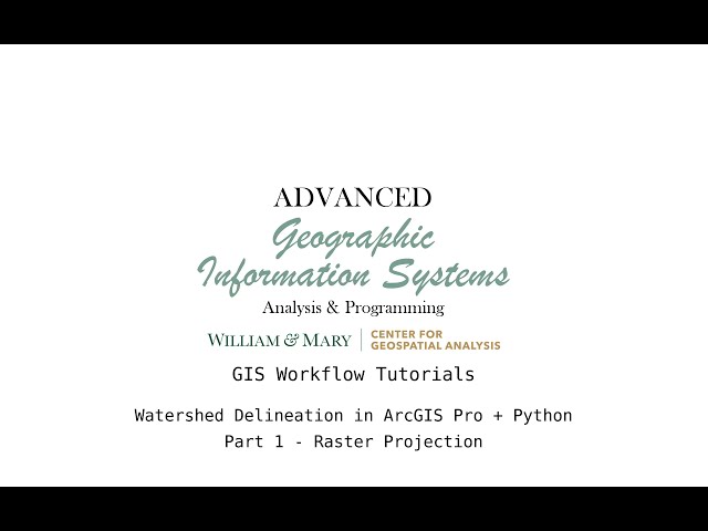
This video series goes through the process of delineating a watershed in the Napa region of California using Python and ...
410 views
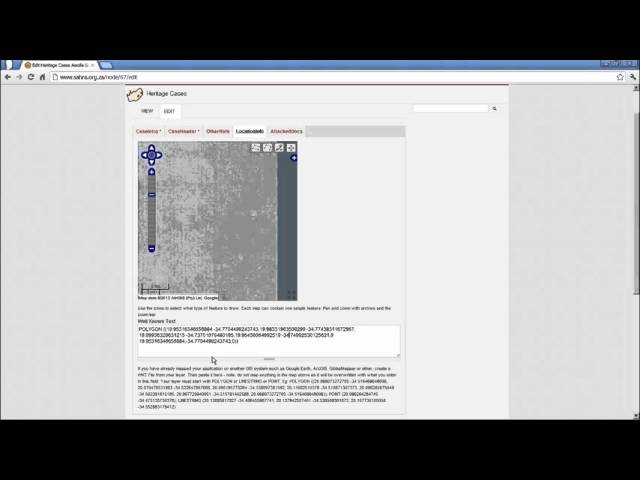
In this tutorial we show you how to create a heritage case GIS layer from an outside source such as a KML file where you already ...
246 views
In this video we show how you can prepare your GIS data to be imported into SketchUp using Modelur. As a source we use official ...
7,038 views
https://issues.cosmos.esa.int/psawiki/x/BQIz.
725 views
10 years ago