Upload date
All time
Last hour
Today
This week
This month
This year
Type
All
Video
Channel
Playlist
Movie
Duration
Short (< 4 minutes)
Medium (4-20 minutes)
Long (> 20 minutes)
Sort by
Relevance
Rating
View count
Features
HD
Subtitles/CC
Creative Commons
3D
Live
4K
360°
VR180
HDR
575 results
EarthSci is a digital globe, built for visualising 3D geoscience data, both on and under the surface of the Earth. It allows users to ...
568 views
9 years ago
988 views
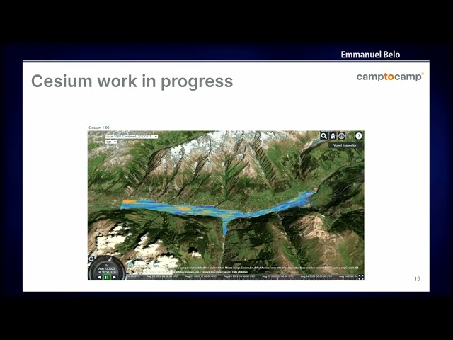
Presented by Sachindra Singh on 21 November 2025 09:30, at FOSS4G 2025 Auckland. Track: Use Cases and Applications Full ...
13 views
3 months ago
The video explains the challenges faced when managing vast quantities of satellite data, for the benefit of humankind, to address ...
2,089 views
ClimateViewer 3D (map) http://climateviewer.org/ ClimateViewer News (blog) https://climateviewer.com/ Weather Modification ...
2,165 views
7 years ago
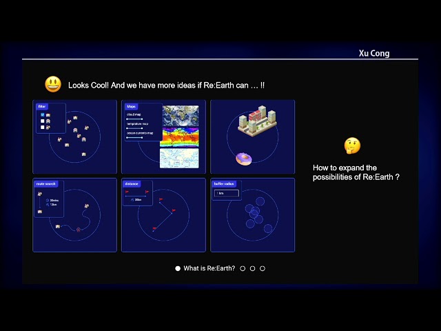
The Re:Earth project grew from the idea of, "What would be possible if anyone, anywhere could access the digital Earth's potential ...
33 views
1 year ago
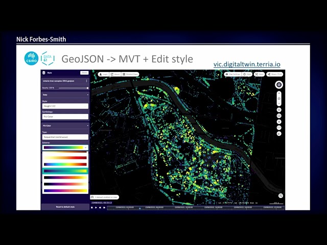
TerriaJS is an open-source framework for web-based geospatial catalogue explorers. It uses Cesium and Leaflet to visualise 2D ...
301 views
Lecture: Visualization in 3D lecture Lecturer: Helena Mitasova Course: NCSU GIS/MEA582: Geospatial Modeling and Analysis ...
856 views
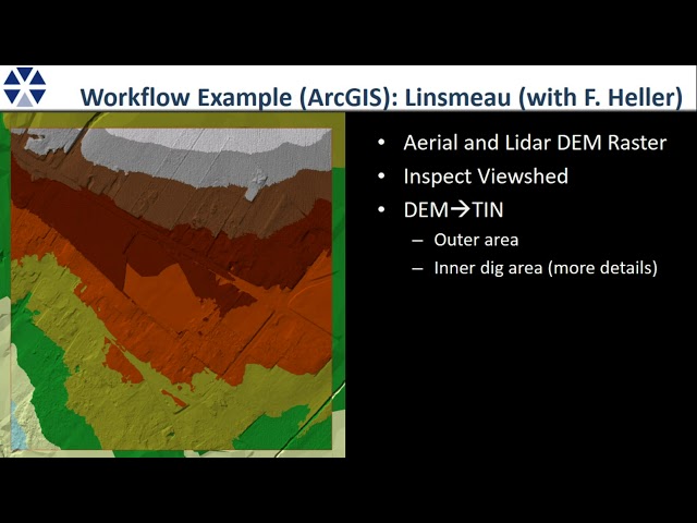
RockWare Consulting Demonstration.
415 views
It's been said that A.I. (Artificial Intelligence) will be as important to society as electricity or the wheel. Now with the advent of AI it's ...
155 views
2 years ago
Presented by Hidemichi Baba, Hinako Iseki on 19 November 2025 16:30, at FOSS4G 2025 Auckland. Track: Keynote Full ...
37 views
This video highlights the importance of big geospatial data in the digital age and provides an introduction to the NFDI4Earth ...
51 views
I have talked already about the different resolutions in Earth Observation data in a previous video. The spatial resolution of radar ...
1,083 views
This video documents a real build step in my CMU AI Engineering journey, where I am developing ThermalSight as a proving ...
2 views
4 days ago
Geological data usually suffer from very low visibility because they are specialized data that are only accessible to a few people ...
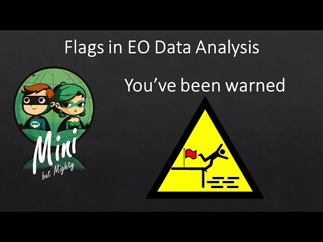
Flags are often not carefully considered when working with Earth Observation data. This video shows that this is important and ...
Subscribe Now | Like | Comments | Share | Free Download Now | Free To Use | No Copyright Background Credits: ...
98 views
3 years ago
Computer-based visualization has become a powerful tool for both research on cultural heritage artefacts and dissemination of ...
1,974 views
8 years ago
A 3D virtual tour of the Fen edge of Cambridgeshire, UK, using the 'GeoVisionary' data visualisation system (from Virtalis Ltd.), ...
1,757 views
11 years ago
Jeff Knezovich from Quaternary Consulting Ltd. describes current approaches to data visualisation. In this short and informative ...
389 views
10 years ago