Upload date
All time
Last hour
Today
This week
This month
This year
Type
All
Video
Channel
Playlist
Movie
Duration
Short (< 4 minutes)
Medium (4-20 minutes)
Long (> 20 minutes)
Sort by
Relevance
Rating
View count
Features
HD
Subtitles/CC
Creative Commons
3D
Live
4K
360°
VR180
HDR
2,888 results
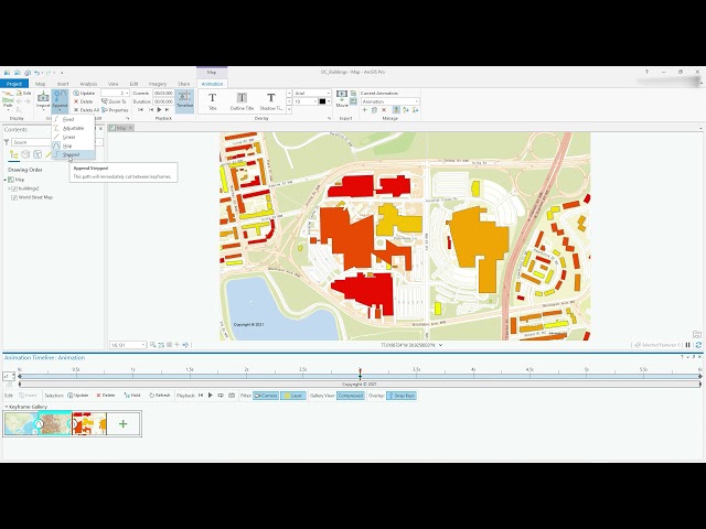
Video #104 This video will show you how to get started with creating smooth animations in ArcGIS Pro. Access the Animation ...
16,955 views
4 years ago
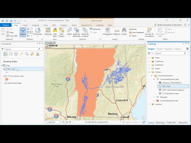
This video introduces basic concepts of working with coordinate systems in ArcGIS Pro.
14,812 views
8 years ago
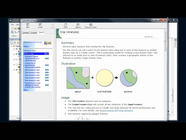
Basics of using the geoprocessing tools in ArcMap and setting analysis environment.
11,032 views
14 years ago
This video shows how to use the editor in ArcMap. It is designed as a component in the Introductory to Digital Mapping offered by ...
285 views
9 years ago
How to import a scanned map (print, historic, etc) and place it correctly in a GIS coordinate system.
1,583 views
A introduction to the use buffer tool.
4,446 views
10 years ago
This screencast video shows you the steps involved from collecting field data (georegistered with a GPS device) then creating a ...
12,001 views
ArcGIS Desktop I beginner to pro I GIS Basics I No. 8I Adding fields and calculating geometry #howto The "ArcGIS Desktop II: ...
99 views
1 year ago
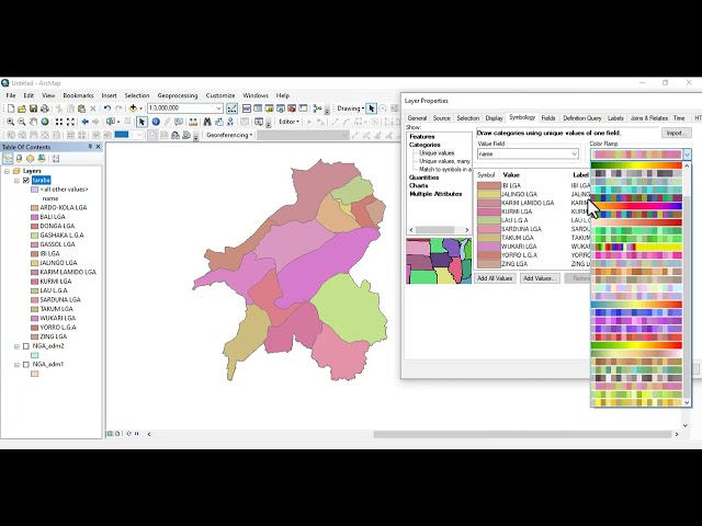
ArcGIS Desktop I beginner to pro I 5. WORKING WITH SHAPEFILES I No.5I cchoroplet mapping 1 #howto The "ArcGIS Desktop ...
586 views
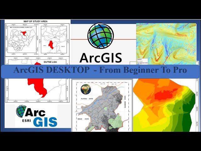
This basic GIS Tutorial is for Beginners or who are new in Arcgis Desktop.
6,351 views
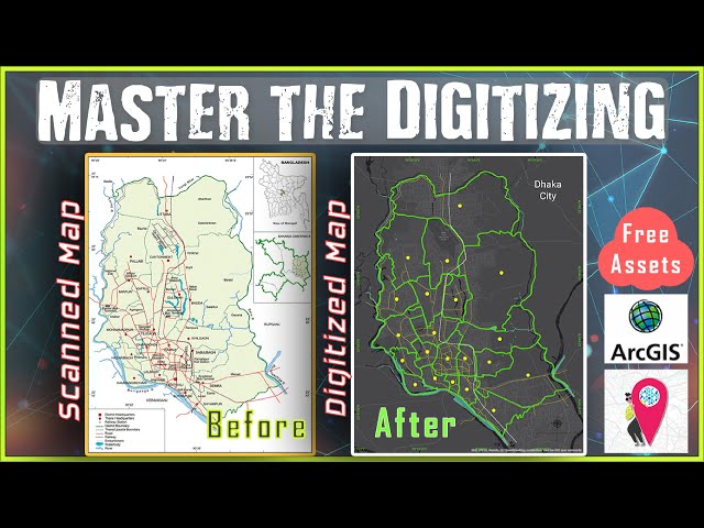
Learn Digitizing in ArcGIS from Basic to Advance within just 15 Minutes. Digitizing is the process of converting geographic ...
157,670 views
5 years ago
This video shows how to use basic map topology in ArcMap and covers basic map topology editing tasks.
282 views
ArcGIS Basics II ArcGIS Interface II #howto #gis #mapping #trending #remotesensing #qgis The "ArcGIS Desktop: Tools and ...
230 views
How ArcCatalog and ArcMap handle coordinate systems. Basic reproject on-the-fly.
53,295 views
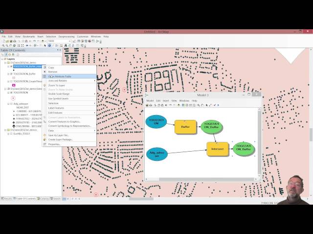
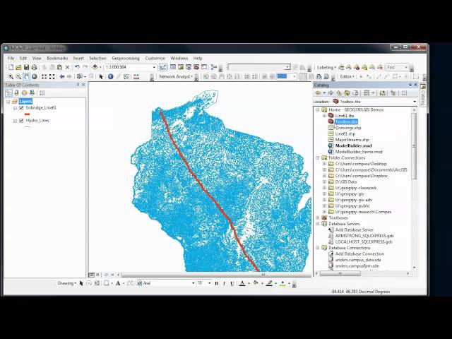
Overview of how to use the ModelBuilder in ArcGIS to automate and document your GIS analysis procedures. In Part 1, we create ...
3,990 views
11 years ago
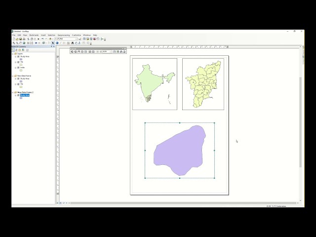
Highlight study area and prepare layout using Arcmap.
1,049 views
7 years ago
Dr. Sterling Quinn demonstrates how to use various snapping settings when editing vector data in ArcGIS Pro. Central ...
16,099 views
Video #108 This video will get you going with using SQLServer (in this case Express) as the database for all your spatial queries.
23,163 views
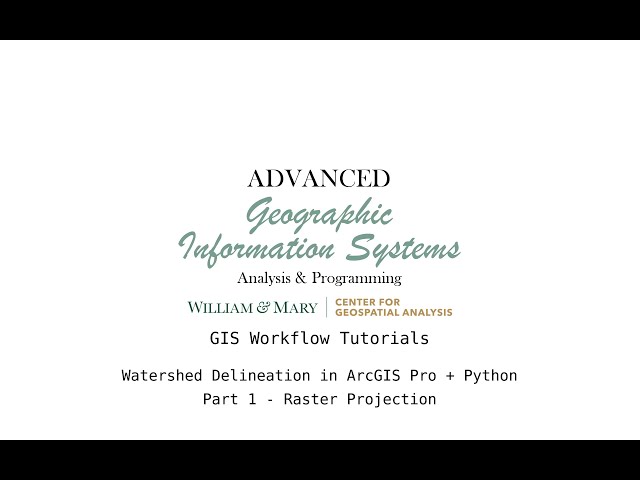
This video series goes through the process of delineating a watershed in the Napa region of California using Python and ...
412 views
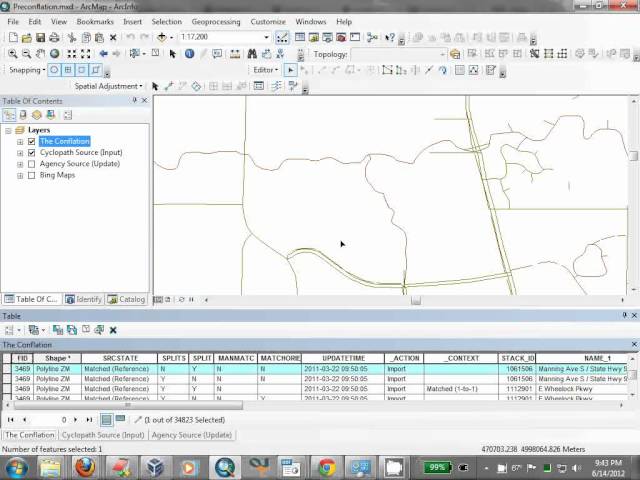
1,361 views
13 years ago