Upload date
All time
Last hour
Today
This week
This month
This year
Type
All
Video
Channel
Playlist
Movie
Duration
Short (< 4 minutes)
Medium (4-20 minutes)
Long (> 20 minutes)
Sort by
Relevance
Rating
View count
Features
HD
Subtitles/CC
Creative Commons
3D
Live
4K
360°
VR180
HDR
2,772 results
Get to know geospatial data types (basics) in the form of vector and raster data based on explanations from ...
349 views
3 years ago
telluric: interactive manipulation of Geospatial data with Jupyter and Python telluric library is an open source library developed by ...
272 views
7 years ago
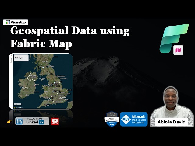
One of the exciting additions to Microsoft Fabric is the Map Item which enables teams to visualize and analyze geospatial data ...
39 views
6 hours ago
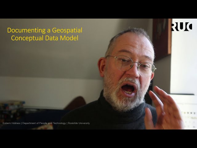
Documenting Geo spatial Conceptual (Ontology) using text forms and ER-diagramming 0:00 Introduction 00:55 Entity vs property ...
189 views
5 years ago
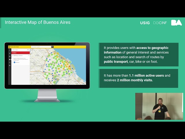
https://media.ccc.de/v/bucharest-406-interactive-map-of-geospatial-information-in-the-city-of-buenos-aires The map is based on ...
95 views
6 years ago
"Welcome to 'Unlocking the World: Exploring the Power and Purpose of Geographic Mapping'! Dive into the fascinating world of ...
4 views
1 year ago
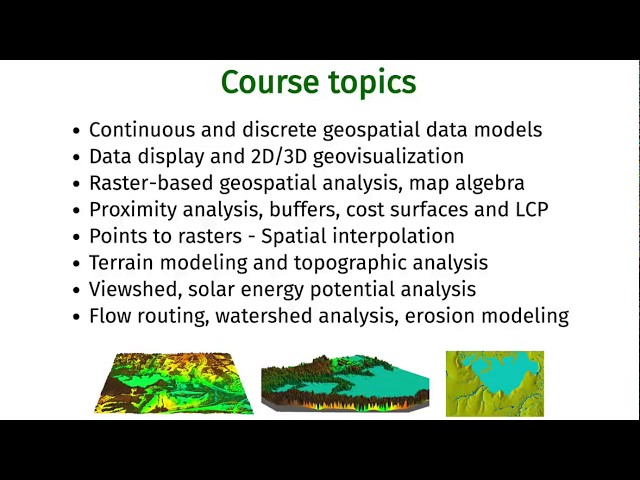
Introduction to and basic information about the Geospatial Modeling and Analysis course (GIS582/MEA582) at North Carolina ...
2,354 views
A overview of Geospatial Data Modelling including Conceptual models (ontologies) Digital representation models Analysis ...
6,090 views
Get insights from Ed Parsons, Geospatial Technologist at google on: Why SDIs are not working like they are meant to be!
1,592 views
11 years ago
Geographic Value (GeoValue) research demonstrates actions data providers can take to optimize the value of their geospatial ...
64 views
2 years ago
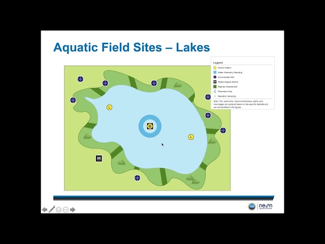
This video provides a detailed overview of how NEON spatial design and where you can access geospatial data. For more ...
379 views
Presented by Hidemichi Baba, Hinako Iseki on 19 November 2025 16:30, at FOSS4G 2025 Auckland. Track: Keynote Full ...
33 views
2 months ago
In this video we use QGIS and Blender GIS to import maps, heightmaps, and OSM data accurately into Blender. QGIS: ...
61,476 views
This video highlights the importance of big geospatial data in the digital age and provides an introduction to the NFDI4Earth ...
51 views
... to handle geospatial data and the postgresql-extension timescaledb to handle the never-ending stream of geospatial data.
157 views
In this video we talk about how we deal with the fact that the earth is a globe when making maps.
368 views
This video provides an introduction to the basic concepts relating to vector geospatial datasets - including a discussion of different ...
132 views
9 years ago
Clustering Algorithms for Geospatial Data I hope you found a solution that worked for you :) The Content (except music & images) ...
84 views
This video is about 1DTM8.3 Geospatial Data.
491 views
Who actually uses geospatial data?
275 views