Upload date
All time
Last hour
Today
This week
This month
This year
Type
All
Video
Channel
Playlist
Movie
Duration
Short (< 4 minutes)
Medium (4-20 minutes)
Long (> 20 minutes)
Sort by
Relevance
Rating
View count
Features
HD
Subtitles/CC
Creative Commons
3D
Live
4K
360°
VR180
HDR
274 results
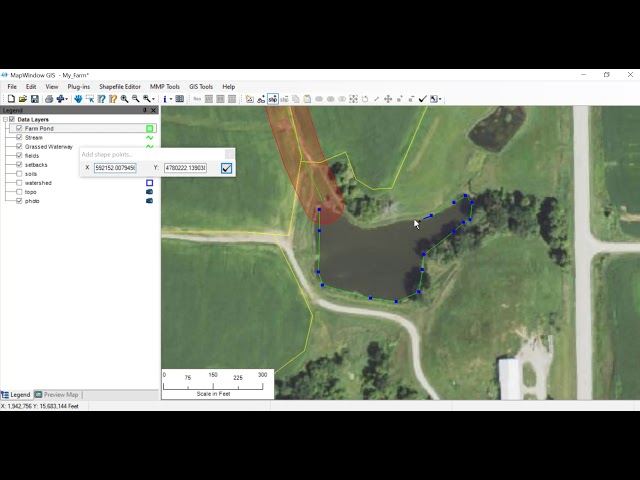
Video created for Northeast Iowa Community College Students on how to add waterways and other practices to Map Window GIS.
1,001 views
5 years ago
In this video I show how you can compile MapWinGIS using VS2017. The links I used are: * VS2017: ...
2,014 views
6 years ago
How to Delineate Watershed in MapWindow GIS.
373 views
4 years ago
DATA : http://www.mappinghacks.com/data/ Free OCX MapWinGis (works also with Delphi and VB) ...
21,889 views
8 years ago
This video shows you how to get the latest source code for MapWindow5 and MapWinGIS and how to compile the binaries ...
7,090 views
9 years ago
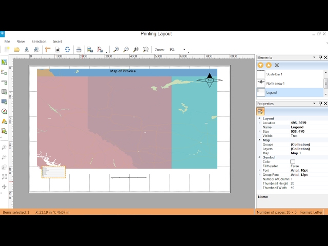
MapWindow GIS toturial - create layout, how to create layout in MapWindow GIS.
2,409 views
This video was created for NICC's AGA375 Integrated Crop Managment class to show how to draw field boundaries in ...
401 views
This video was created for students at Northeast Iowa Community College on how to create a farm field map in Map Window GIS.
361 views
The video gives demonstration of how to delineate watershed and river network using a Digital Elevation Model (DEM).
448 views
2 years ago
38 views
12 years ago
In this video, I have clearly shown the steps Delineate Watershed in MapWindow GIS. #sharingiscaring #pleasesubscribe.
2,645 views
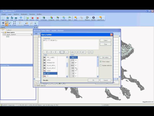
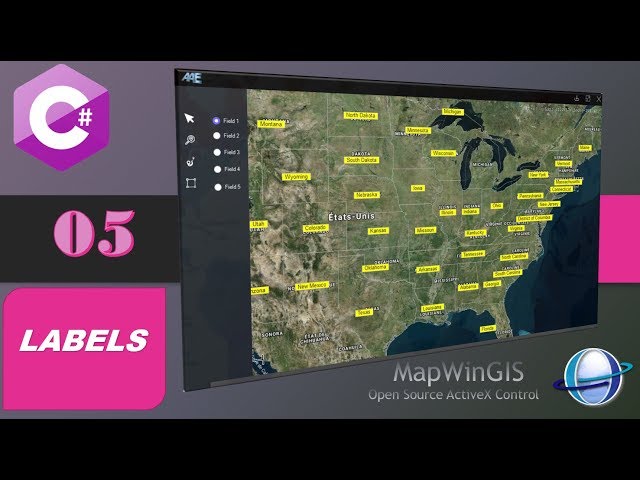
05- cour (Mapwingis) : comment créer une application cartographique avec MapWinGIS , afficher des label ,mapwingis labels, ...
2,346 views
How does the shapefile editor in MW5 work? Also using the tileserver from map5.nl.
3,439 views
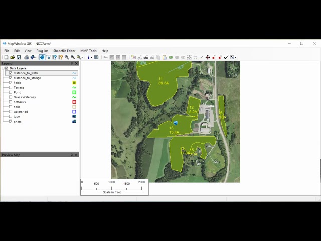
Video created for NICC AGA212 on how to use Map Window Software to create Distance Measurements to water and storage ...
90 views
7 years ago
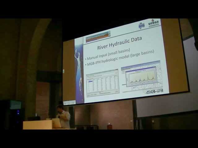
This presentation 'Design of a water quality modeling tool coupled with MapWindow GIS platform' was given during the ...
886 views
13 years ago
This is the key note -Building DotSpatial-based Applications in Industry- Ted Dunsford gave during the MapWindow Conference ...
1,509 views
14 years ago
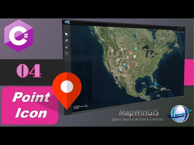
04 catriéme cours (Mapwingis) : comment créer une application cartographique avec MapWinGIS , attribuer des icone a un point ...
4,600 views
Learn how to connect our Map control to GIS data with Bing providers. ⚡️⚡️⚡️ Overview ...
2,025 views
10 years ago
A partir da solicitação do professor Luciano França, apresentamos o vídeo que instrui sobre o processo de mosaico das cenas ...
138 views
This is the key note -What's new in MapWindow v4.8RC2- I gave during the MapWindow GIS Conference 2011 in San Diego by ...
3,079 views