Upload date
All time
Last hour
Today
This week
This month
This year
Type
All
Video
Channel
Playlist
Movie
Duration
Short (< 4 minutes)
Medium (4-20 minutes)
Long (> 20 minutes)
Sort by
Relevance
Rating
View count
Features
HD
Subtitles/CC
Creative Commons
3D
Live
4K
360°
VR180
HDR
5,981 results
To Learn more.. Join ArcGIS Mastery Course with 25% discount. Check all classes at https://www.arcgismastery.com.
300 views
8 months ago
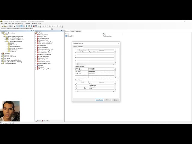
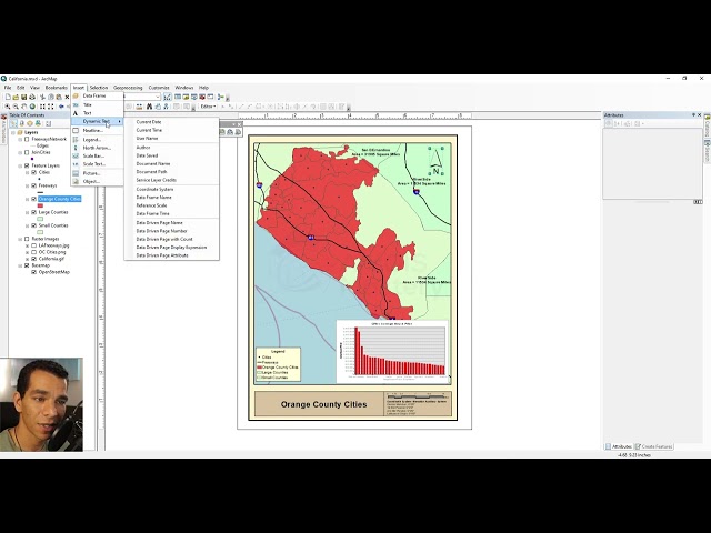
In this video, you will learn ArcGIS Basic, raster & vector data, layer symbology, attribute table, and labling, Raster Symbology.
93 views
5 months ago
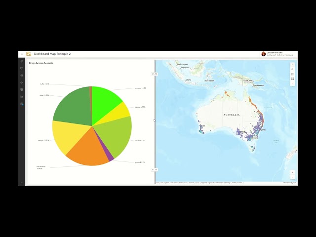
In this video tutorial we showcase the step by step requirements to create an interactive ArcGIS Dashboard from a map in ArcGIS ...
1,958 views
3 months ago
Step-by-step process of raster to vector conversion ✓ Creating polygon features from raster data ✓ Tips for editing and improving ...
328 views
4 months ago
Ready to move beyond desktop GIS? Step into the Spatial Lab: a global community for ambitious geospatial professionals who ...
7,223 views
This video highlights the top ten new features in the ArcGIS Pro 3.6 release. To see all the new and improved functionality in this ...
11,243 views
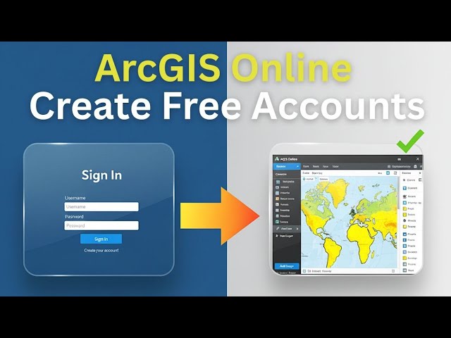
We will create an account on ArcGIS Online to carry out the activities proposed in the course. To do this, you must follow the steps ...
461 views
11 months ago
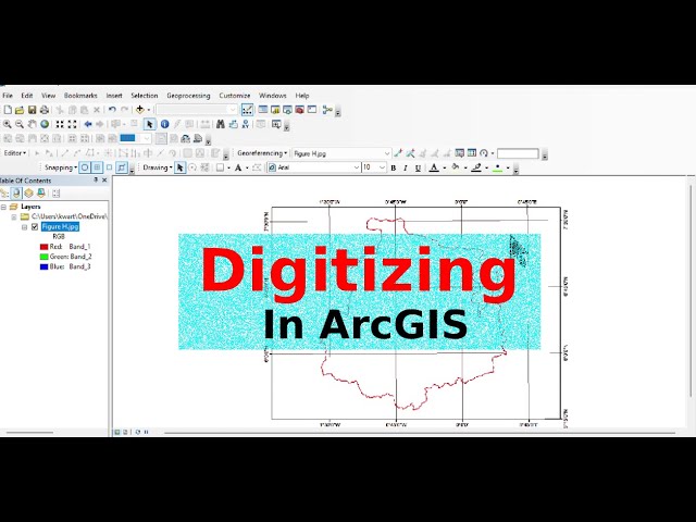
In this tutorial, learn the basics of digitizing in ArcMap to convert paper maps or scanned images into digital vector data.
102 views
If you find this video helpful, like, share, and subscribe for more practical GIS tutorials, ArcMap workflows, and real-world mapping ...
2,323 views
2 months ago
In this video from Esri UC 2025, Jess Altamira and Caitlin Marin demonstrate three new deep learning tools in ArcGIS that ...
12,257 views
6 months ago
Are you new to ArcGIS or looking to improve your digital mapping skills? In this quick and practical tutorial, you'll learn how to ...
909 views
438 views
9 months ago
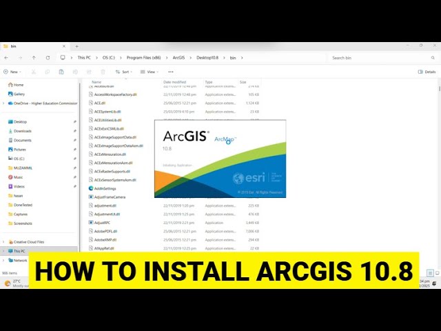
Do subscribe to the channel and email at: akhtarmuzammil014@gmail.com to get ArcGIS 10.8 Setup.
2,191 views
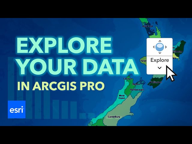
Learn how to explore your data in ArcGIS Pro. In this ArcGIS Pro 3.6 tutorial, you will work with an attribute table to display and ...
2,307 views
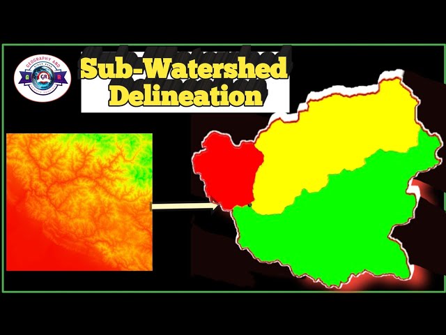
Sub-Watershed Delineation in ArcGIS | Hydrology Analysis 🌊 | Step-by-Step Tutorial Master the art of watershed analysis in ...
237 views
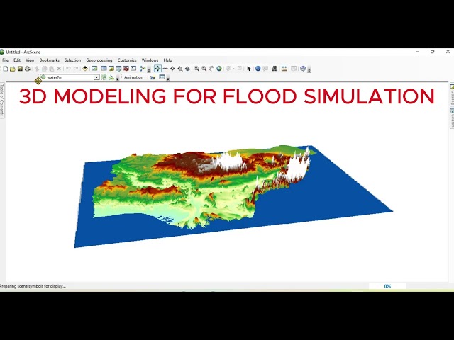
In this ArcGIS 2025 tutorial, you'll learn how to create a 3D flood simulation map from start to finish using real elevation and ...
284 views
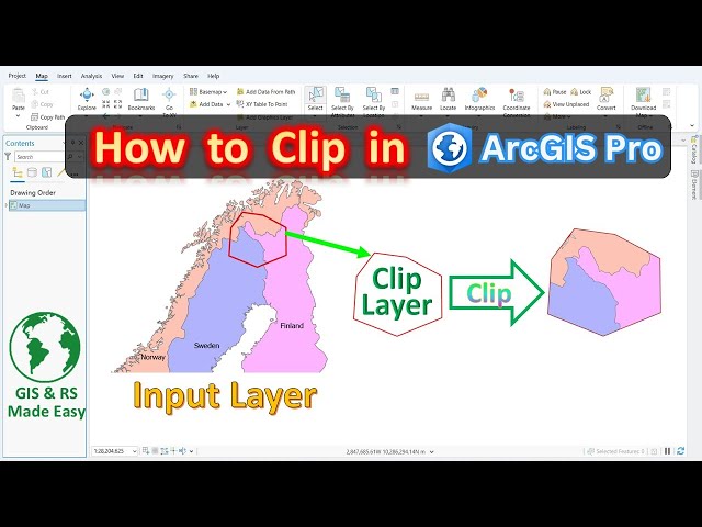
arcgispro #clip_layer_in_arcgispro #arcgistutorial In this beginner-friendly tutorial, learn how to clip features in ArcGIS Pro using a ...
2,290 views
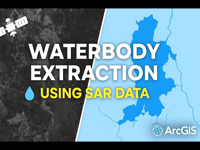
Waterbody Extraction from SAR Data | Easiest Method in ArcGIS Extract Water Bodies Using SAR Imagery in ArcGIS ...
249 views
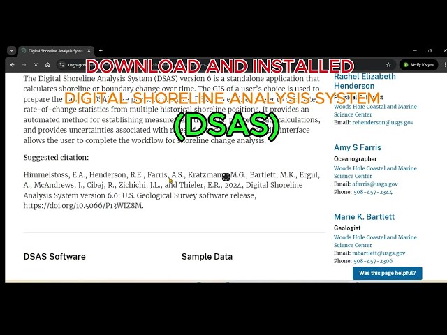
In this tutorial, you'll learn how to download and install the Digital Shoreline Analysis System (DSAS) extension for ArcGIS ...
815 views
Understand NDWI and its importance for water detection and monitoring ✓ Use Green (Band 3) and NIR (Band 5) reflectance to ...
109 views