Upload date
All time
Last hour
Today
This week
This month
This year
Type
All
Video
Channel
Playlist
Movie
Duration
Short (< 4 minutes)
Medium (4-20 minutes)
Long (> 20 minutes)
Sort by
Relevance
Rating
View count
Features
HD
Subtitles/CC
Creative Commons
3D
Live
4K
360°
VR180
HDR
3,281,582 results
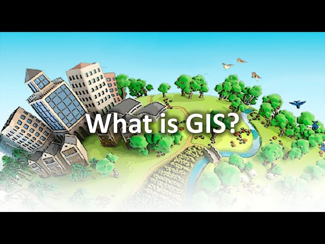
What is GIS? https://gisgeography.com/what-is-gis/ US Maps - https://usmaps.com/ Esri Mapping Software - https://www.esri.com/ ...
267,899 views
2 years ago
Ready to move beyond desktop GIS? Step into the Spatial Lab: a global community for ambitious geospatial professionals who ...
178,341 views
3 years ago
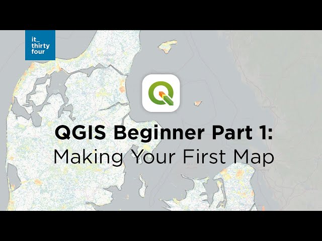
Take a look at this beginner tutorial and create your first map in QGIS. 0:00 Intro 0:43 Adding your first data 2:35 Connecting to ...
387,648 views
Geospatial Information Systems (GIS) is a unique problem-solving technology with remarkable impact. In this video, visionary ...
142,421 views
1 year ago
New to ArcGIS Pro? Making the transition from ArcMap? I've got you covered in your first day with ArcGIS Pro by showing you the ...
47,453 views
For many GIS professionals, SQL and databases can feel intimidating. They seem like tools for data engineers, not map makers.
10,504 views
5 months ago
In this video we use QGIS and Blender GIS to import maps, heightmaps, and OSM data accurately into Blender. QGIS: ...
60,146 views
Welcome to SpatialNnachi! In this first episode of our Intro to GIS using ArcGIS series, we break down what Geographic ...
321 views
8 months ago
A basic introduction to some of the digital elevation visualisation and terrain analysis tools in SAGA-GIS using SRTM data from ...
24,771 views
9 years ago
Design the most incredible projects: learn how to use ultra-high-resolution GIS data, including overhead aerial imagery, angled ...
1,153 views
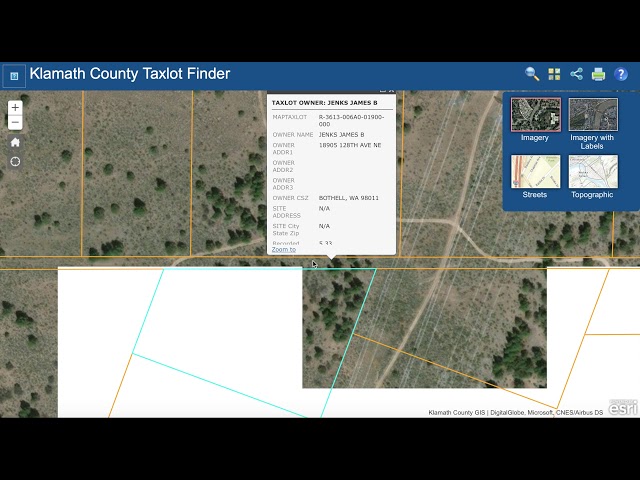
This Video explains how to use the county GIS website. We include a link to the county GIS website for that county in every add we ...
218 views
8 years ago
SHINDE.K.R [Msc Geography / Geoinformatics ] ...
3,385 views
5 years ago
please subscribe and recommend for any topic you want GeoTE to make a tutorial or presentation. you can also email us through ...
197 views
... https://www.gissimplified.in Email: contact@gissimplified.in ⚈Tags⚈ gis mapping, geographical information system, gis tutorial ...
461,982 views
Sir Mnumzane Presents: Why GIS is Cooler Than You Think! Think maps are just for directions? Think again! In this video, we'll ...
42,965 views
10 months ago
This first lesson goes over how to import text data into GIS and how to display this data spatially. www.marbleenvironmental.com.
12,020 views
12 years ago
635 views
4 years ago
Hi everyone. Hope you are doing fine. Welcome to GIS & RS Solution. Today's tutorial about ArcGIS Pro. I have already uploaded ...
216,470 views
From GIS Tutorial Basic Workbook 1 for ArcGIS 10.3.x.
866 views
882 views