Upload date
All time
Last hour
Today
This week
This month
This year
Type
All
Video
Channel
Playlist
Movie
Duration
Short (< 4 minutes)
Medium (4-20 minutes)
Long (> 20 minutes)
Sort by
Relevance
Rating
View count
Features
HD
Subtitles/CC
Creative Commons
3D
Live
4K
360°
VR180
HDR
19 results
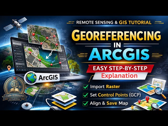
Learn how to perform georeferencing in ArcGIS with this complete step-by-step tutorial in GIS & Remote Sensing. This video ...
12 views
11 hours ago
If you're still using shapefiles in ArcGIS Pro… you might be limiting your GIS projects without realizing it. In this beginner-friendly ...
22 views
1 day ago
How to Add KML/KMZ File in ArcGIS | Save KM/KMZ File in Google Earh Pro Learn how to Import KML/KMZ in ArcGIS step-by-step ...
24 views
Digital Elevation Models (DEM) directly inside BricsCAD. In this tutorial, we demonstrate how to master terrain data using the ...
7 views
7 hours ago
In this video, you will learn the best way to project maps to the UTM coordinate system in ArcGIS Pro, step by step. Easily convert ...
0 views
8 hours ago
QGIS Introductory Training: https://clast.tech/produit/formation-qgis-initiation-a-distance-3-jours/ Click here for exclusive ...
14 views
... GIS tutorials #QGIS #SlopeAnalysis #GISPhilippines #ForestryGIS #DEM #SpatialAnalysis #GISforBeginners #MappingTutorial ...
37 views
10 hours ago
How to Download DEM Data from OpenTopography and Visualize in ArcMap In this practical GIS tutorial, I demonstrate how to ...
3 hours ago
Layer stacking is a fundamental step in satellite image processing and GIS analysis. In this tutorial, I demonstrate how to perform ...
4 views
57 minutes ago
Geo-rectification is one of the most important steps in GIS and Remote Sensing analysis. In this tutorial, I have explained how to ...
18 views
16 hours ago
GISRS-1 How to Georeference an Image in ArcMap PRO | ArcGIS Pro Step-by-Step Tutorial [EPISODES - 8] Follow Me Online ...
ສະບາຍດີທຸກຄົນ! ໃນວິດີໂອນີ້ ...
36 views
4 hours ago
Have you ever wondered what wild animals are doing when the sun goes down? In this detailed tutorial, we uncover the ...
8 views
2 hours ago
In this video, we explore how this property faired over the severe winter we are just coming out of. I looked for feeding activitiy, ...
141 views
18 hours ago
Are you looking to download high-quality satellite imagery from Google Earth for your GIS projects? In this step-by-step tutorial, we ...
5 views
19 hours ago
Want to add your own location data to ArcMap for mapping and analysis? In this step-by-step tutorial, we show you how to import ...
area calculator for land app | area measurement survey app | area measurement survey app kaise use kare | area measurement ...
15 hours ago
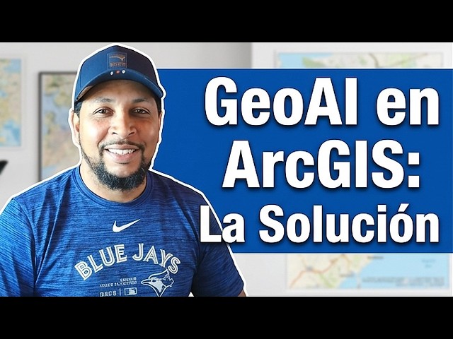
En este video te explico un workflow GeoAI completo en ArcGIS, aplicado a dos casos reales: ✓ Crecimiento urbano no ...
20 views
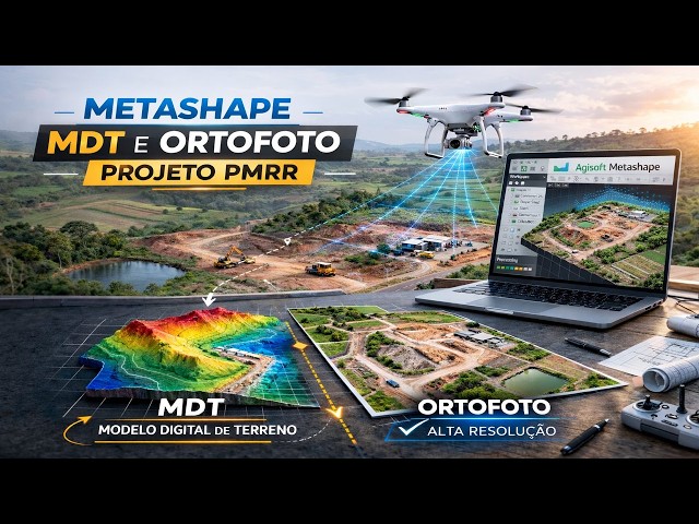
PROJETO PMRR UFMG Neste tutorial completo, mostro passo a passo como gerar um MDT e uma ortofoto a partir de imagens ...
20 hours ago


![How to Georeference an Image in ArcMap PRO | ArcGIS Pro Step-by-Step Tutorial[EPISODES-8]@GISRS-1](/api/proxy/image?url=https%3A%2F%2Fi.ytimg.com%2Fvi%2FDMYEJJ-m5ZI%2Fsddefault.jpg)