ViewTube

ViewTube
Sign inSign upSubscriptions
Filters

Upload date

Type

Duration

Sort by

Features

Reset

259 results

Geojay GIS Solution
How to calculate the total length of Rivers in a Watershed in ArcGIS

ArcGIS #WatershedAnalysis #RiverLength #GIS #SpatialAnalysis #Hydrology #GeographicInformationSystems In this video, we ...

8:07
How to calculate the total length of Rivers in a Watershed in ArcGIS

53 views

6 days ago

Matt Forrest
Stop Learning New GIS Tools. (Master These 4 Instead)

Forget trying to learn every single tool in the modern GIS stack. It's a trap. The geospatial industry is exploding with new software, ...

12:18
Stop Learning New GIS Tools. (Master These 4 Instead)

1,840 views

6 days ago

CivilGEO, Inc.
Building Large Multi Reach HEC RAS Models from GIS Data | CivilGEO

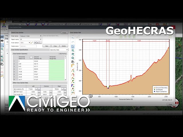
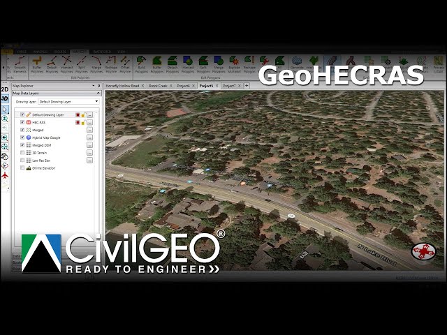
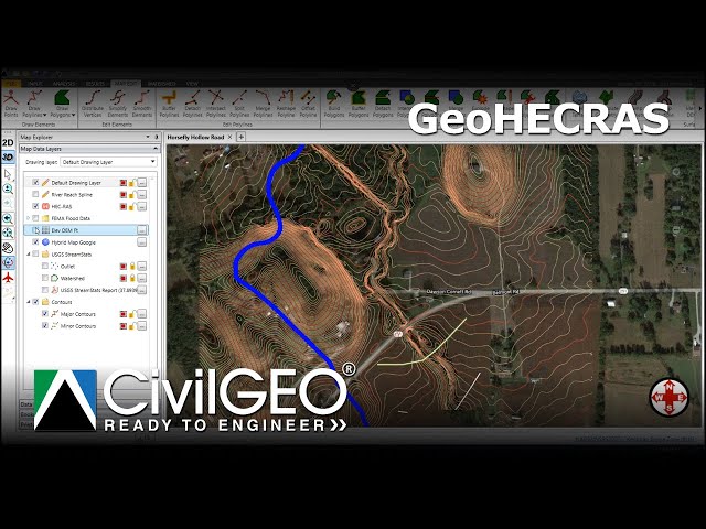
Learn how to efficiently build large, multi-reach HEC-RAS models in GeoHECRAS using existing GIS data. This tutorial covers ...

6:36
Building Large Multi Reach HEC RAS Models from GIS Data | CivilGEO

15 views

5 days ago

Study Hacks-Institute of GIS & Remote Sensing
How to Make Map Layout in GIS || Map Layout in ArcMap || Create Map Layout in GIS
10:38
How to Make Map Layout in GIS || Map Layout in ArcMap || Create Map Layout in GIS

0 views

0

FLO-2D Software
Pier Scour Map Processing FLO 2D

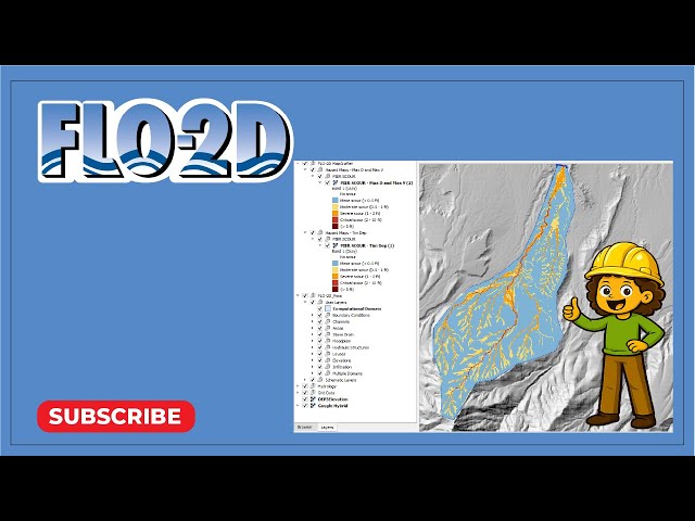
Create pier scour heat maps with a new processor using FLO-2D MapCrafter.

6:26
Pier Scour Map Processing FLO 2D

33 views

6 days ago

Felt
Best Mapping Software | Best mapping software reviewed: ArcGIS, Mapbox, Maptiv and Felt compared

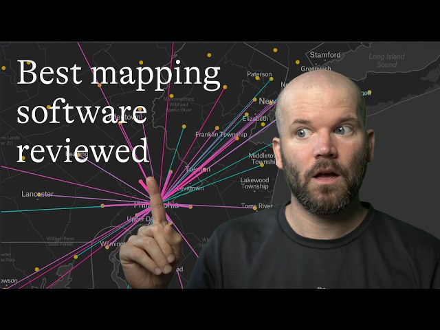
Choosing the best mapping software depends on your needs, budget, and technical requirements. In this review, we compare ...

9:11
Best Mapping Software | Best mapping software reviewed: ArcGIS, Mapbox, Maptiv and Felt compared

202 views

7 days ago

Skynek Mapping
Convert SHP to DWG Using ArcMap | GIS to CAD Tutorial

SHP to DWG Conversion in ArcMap Convert shapefiles (SHP) to AutoCAD DWG format directly in ArcMap—perfect for geospatial ...

5:15
Convert SHP to DWG Using ArcMap | GIS to CAD Tutorial

29 views

6 days ago

CivilGEO, Inc.
Terrain Modification Using the Stamp Geometry Command in GeoHECRAS | CivilGEO

Learn how to use the Stamp Geometry command to modify terrain geometry by burning in a stream channel or constructing a ...

8:10
Terrain Modification Using the Stamp Geometry Command in GeoHECRAS | CivilGEO

7 views

6 days ago

GIS & RS Solution
Google Earth Engine Tutorial 15: Calculate Normalized Difference Water Index (NDWI)

NDWI is widely used for: Mapping surface water bodies, water resources management Monitoring floods and droughts ...

14:38
Google Earth Engine Tutorial 15: Calculate Normalized Difference Water Index (NDWI)

757 views

4 days ago

GeoCortex AI and Consulting
GeoServer Tutorial Part 1 | Introduction to GeoServer & OGC Web Services#geoserver #webgis #ogc #gis

How do GIS professionals publish spatial data as live, interactive maps on the web? In Part 1 of this GeoServer tutorial series, we ...

5:29
GeoServer Tutorial Part 1 | Introduction to GeoServer & OGC Web Services#geoserver #webgis #ogc #gis

14 views

5 days ago

CivilGEO, Inc.
Georeferencing HEC-RAS Models to Real-World Coordinates | CivilGEO

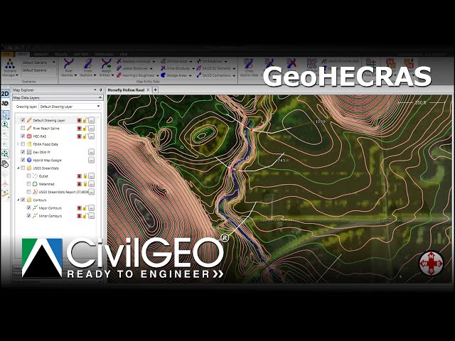
Learn how to georeference a HEC-RAS model to real-world coordinates by aligning river reaches with GIS and FEMA data.

11:49
Georeferencing HEC-RAS Models to Real-World Coordinates | CivilGEO

9 views

5 days ago

GIS & AI,GEOGRAPHY
How to Georeference an Image in ArcMap | Step-by-Step Tutorial I Episode 7  #arcgis

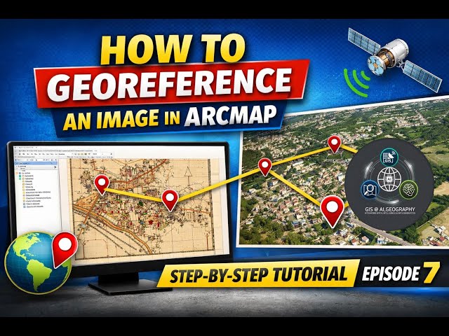
How to Georeference an Image in ArcMap | Step-by-Step Tutorial I Episode 7 In this tutorial, you will learn how to georeference an ...

7:28
How to Georeference an Image in ArcMap | Step-by-Step Tutorial I Episode 7 #arcgis

130 views

6 days ago

CivilGEO, Inc.
Building Channel Geometry Using LiDAR and Survey Data in GeoHECRAS | CivilGEO

Learn how to process LiDAR data and survey points when channel details are limited or unavailable to create accurate terrain ...

19:22
Building Channel Geometry Using LiDAR and Survey Data in GeoHECRAS | CivilGEO

25 views

6 days ago

CivilGEO, Inc.
Visualizing and Extracting Cross Section in GeoHECRAS | CivilGEO

Learn how to extract river cross sections in GeoHECRAS. This tutorial covers selecting upstream and downstream cross section ...

6:02
Visualizing and Extracting Cross Section in GeoHECRAS | CivilGEO

0 views

6 days ago

Steve Graves
Designing a Quick Capture Project from Scratch

This tutorial helps students get started designing an ESRI Quick Capture project from a new layer file. For use in Geography 404 ...

13:47
Designing a Quick Capture Project from Scratch

9 views

6 days ago

BIG FISH EDUCATION
Sub-Topic 3  Unit 2: Different scales for different maps: Small and Large scal Maps
9:23
Sub-Topic 3 Unit 2: Different scales for different maps: Small and Large scal Maps

12 views

6 days ago

Engr. Muhammad Zaheer, P.E
Clipping Raster and Vector Data in ArcGIS | Step-by-Step GIS Tutorial

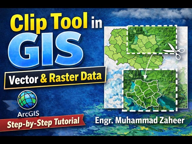
In this tutorial, I taught how to clip both raster and vector data using ArcGIS in a clear, step-by-step manner. Clipping is one of the ...

4:00
Clipping Raster and Vector Data in ArcGIS | Step-by-Step GIS Tutorial

50 views

3 days ago

The Dirty Rock Hounder
Can You Rockhound Here? How to Check with MLAS Before you Dig!

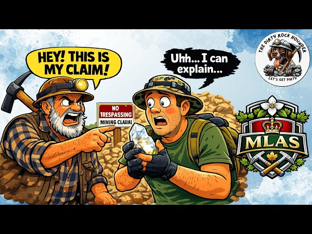
How to Use MLAS to Check Mining Claims (Before You Rockhound!) Before you head out rockhounding, it's critical to know ...

12:43
Can You Rockhound Here? How to Check with MLAS Before you Dig!

38 views

6 days ago

Cornell Animal Science
Creating Strip Shapefiles for Single-Strip Spatial Evaluation (SSEA)

Learn how to create single-strip files! Refer to Agronomy Fact Sheet 135 for additional information: ...

7:52
Creating Strip Shapefiles for Single-Strip Spatial Evaluation (SSEA)

17 views

6 days ago

ADEBAYO STEPHEN
Georeference with Arcgis Pro

Georeferencing by coordinates is the easy but where the coordinates lines are not avaliable, it can be difficult.

14:26
Georeference with Arcgis Pro

0 views

5 days ago