Upload date
All time
Last hour
Today
This week
This month
This year
Type
All
Video
Channel
Playlist
Movie
Duration
Short (< 4 minutes)
Medium (4-20 minutes)
Long (> 20 minutes)
Sort by
Relevance
Rating
View count
Features
HD
Subtitles/CC
Creative Commons
3D
Live
4K
360°
VR180
HDR
32,078 results
Creating Map (shape fille) by Digitizing from Google Earth in Arc GIS in Amharic. Google Earth Digitization convert KML file to ...
427 views
5 months ago
SAGA GIS, contour lines, DEM, digital elevation model, geographic information system, GIS tutorial, terrain analysis, mapping ...
247 views
6 months ago
Welcome to SpatialNnachi! In this first episode of our Intro to GIS using ArcGIS series, we break down what Geographic ...
269 views
8 months ago
For many GIS professionals, SQL and databases can feel intimidating. They seem like tools for data engineers, not map makers.
9,859 views
In this tutorial, we will show you (and give you the code) how to calculate the urban heat island for any city in the world ! Get the ...
248 views
12 views
9 months ago
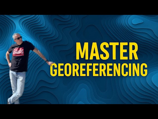
Learn how to georeference scanned maps and images using ArcGIS Pro in this easy, beginner-friendly tutorial. We'll cover visual ...
2,051 views
Sir Mnumzane Presents: Why GIS is Cooler Than You Think! Think maps are just for directions? Think again! In this video, we'll ...
41,176 views
10 months ago
Learn how ArcGIS for AutoCAD bridges the gap between GIS and CAD workflows, connecting ArcGIS with AutoCAD and Civil 3D ...
1,347 views
3 months ago
In this beginner tutorial and training video, we show you how to install and use Grass GIS CRM software. We show you how to ...
1,375 views
Are you new to ArcGIS or looking to improve your digital mapping skills? In this quick and practical tutorial, you'll learn how to ...
811 views
7 months ago
Ready to move beyond desktop GIS? Step into the Spatial Lab: a global community for ambitious geospatial professionals who ...
6,835 views
4 months ago
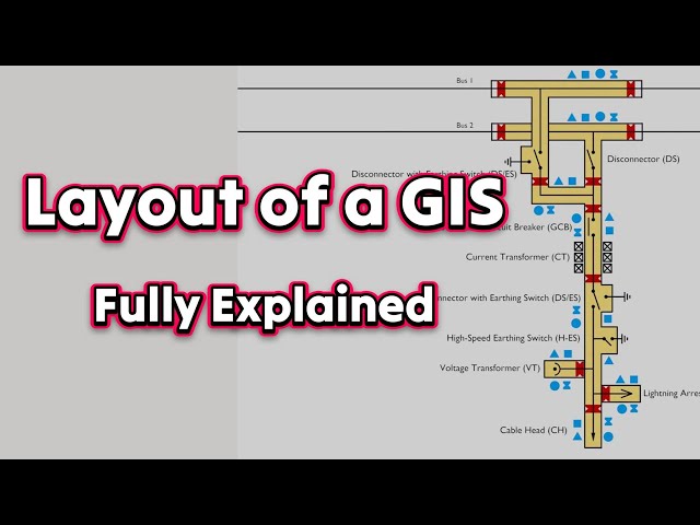
In this video, we explain everything you need to know about Gas Insulated Substations (GIS) and why they are becoming the ...
3,753 views
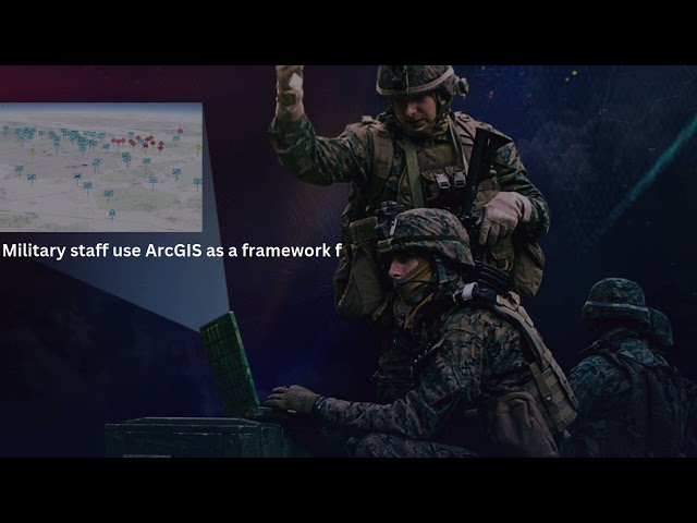
ArcGIS for Defense Part 2 Unlock the power of ArcGIS in defense operations! In this video, we explore how defense organizations ...
480 views
Learn how to build a complete site selection workflow for wind power projects in this no-code GIS tutorial. 🌬️⚡ In this video ...
280 views
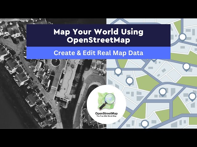
Ready to start mapping your world? In this step-by-step tutorial, we'll show you how to create and edit real map data using ...
771 views
In this episode of Monday Maps, Elizabeth Rosenbloom shows us how to use the Blender GIS add-on to create maps, terrain, and ...
7,287 views
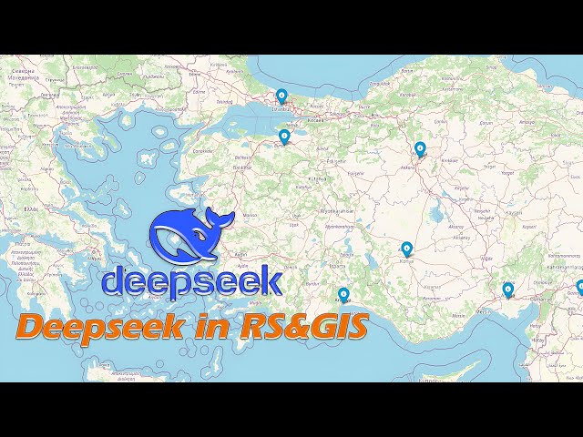
Learn how to leverage DeepSeek AI to revolutionize your geospatial workflows! In this video, we cover: ✓ Introduction to ...
3,310 views
11 months ago
Creating a Professional Map Layout in QGIS | Step-by-Step Tutorial 🗂️Data: ...
12,398 views
Interested in learning how GIS and Earth Observation data and geospatial technologies can be used for better understanding ...
60 views