Upload date
All time
Last hour
Today
This week
This month
This year
Type
All
Video
Channel
Playlist
Movie
Duration
Short (< 4 minutes)
Medium (4-20 minutes)
Long (> 20 minutes)
Sort by
Relevance
Rating
View count
Features
HD
Subtitles/CC
Creative Commons
3D
Live
4K
360°
VR180
HDR
65 results
This video is intended for audience who are interested in mapping and geospatial analysis. The video shows steps of ...
22 views
1 day ago
If you've built your career in ArcGIS or traditional GIS tools, you already have the hardest skill: spatial thinking. What you might be ...
2,475 views
5 days ago
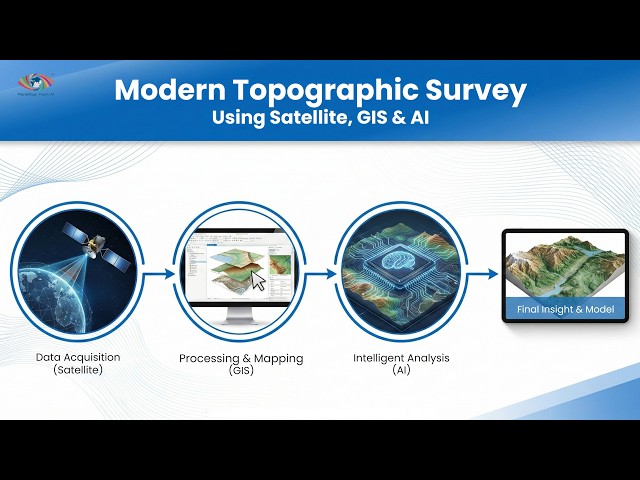
Watch the complete webinar where we explored how Satellite Remote Sensing, GIS, Digital Elevation Models (DEM), and Artificial ...
5 views
17 hours ago
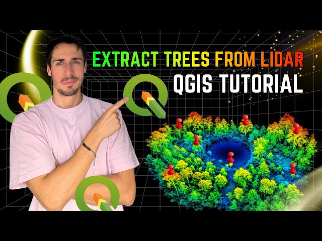
In this video, I demonstrate how to extract trees from LiDAR data using QGIS, replicating a workflow I previously developed in ...
1,286 views
4 days ago
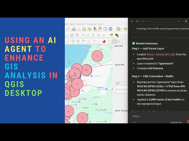
How to use AI Agent (example using Claude AI Desktop) to enhance and improve GIS Workflows in QGIS Desktop. JJSantos ...
120 views
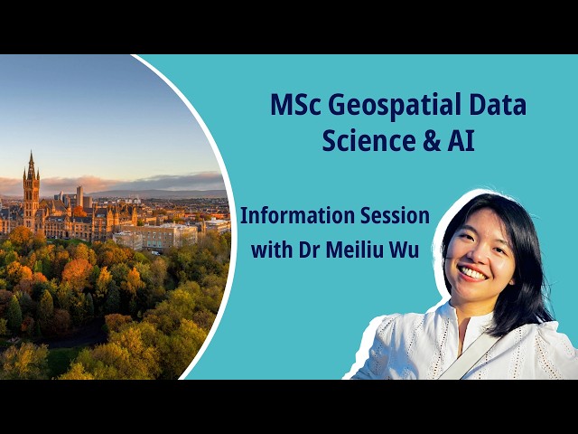
Discover our new MSc in Geospatial Data Science & AI and develop cutting‑edge skills in GIS, GeoAI, ML, and big data. For more ...
112 views
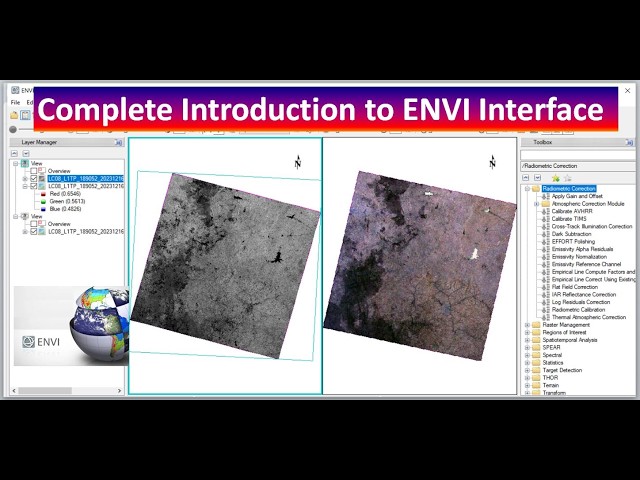
ENVI #RemoteSensing #SpatialAnalysis #GIS #Geospatial #DataAnalysis #SoftwareTutorial In this comprehensive video, we ...
35 views
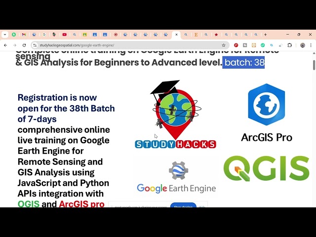
... sensing and GIS analysis, then don't miss our upcoming online training program starting on 4th April. This hands-on training will ...
29 views
10 hours ago
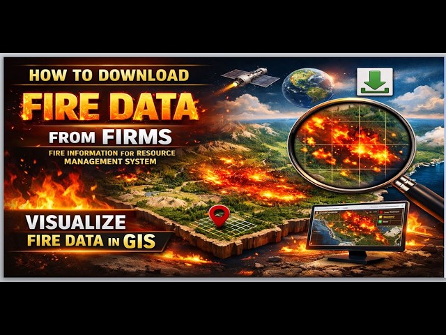
... GIS, fire management, resource management, data visualization, FIRMS, wildfires, environmental data, geospatial analysis, ...
6 days ago
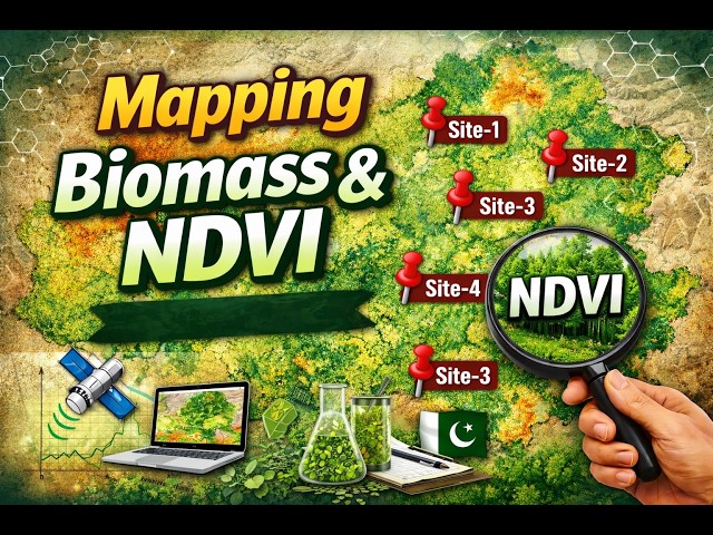
Learn how to create NDVI (Normalized Difference Vegetation Index) maps in R step by step! This tutorial covers remote sensing, ...
16 views
7 days ago
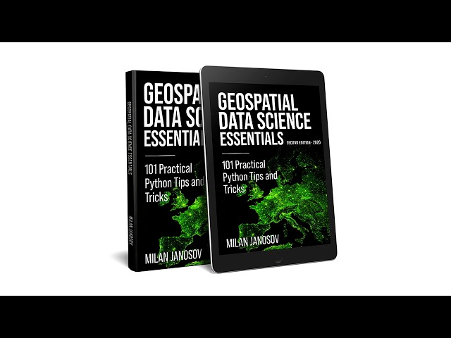
Milan Janosov's book provides a Python-based guide to geospatial data science. It covers vector and raster processing using ...
114 views
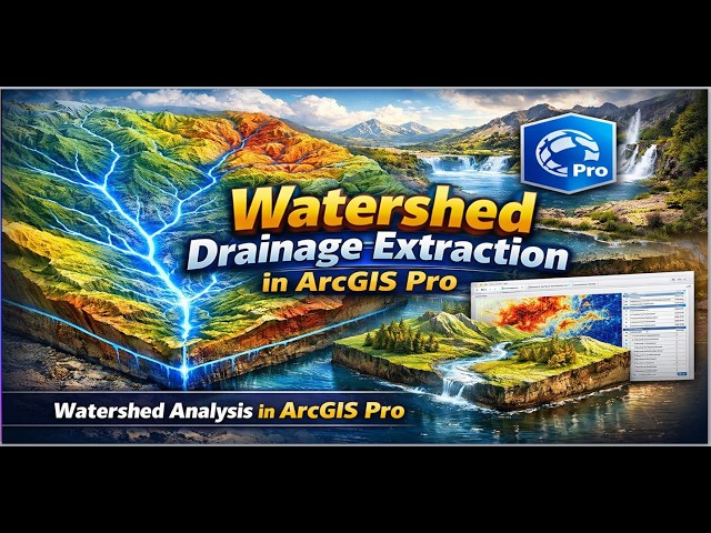
ArcGISPro #WatershedAnalysis #DrainageExtraction #GIS #Geospatial #Mapping #EnvironmentalAnalysis In this tutorial, we'll ...
25 views
15 hours ago
... geospatial analysis, data visualization, GIS methods, environmental modeling, resource management, geospatial technology, ...
42 views
Presented by: Saikat Maiti Keynote: Bridging AI and OpenStreetMap: A Comprehensive MCP Server for Geospatial Intelligence ...
31 views
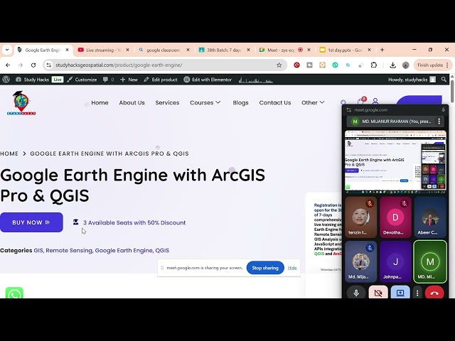
... you master cloud-based geospatial analysis and integrate it with powerful desktop GIS platforms such as ArcGIS Pro and QGIS.
23 views
11 hours ago
... observations to the integration of Geospatial Analysis, Isotope Geochemistry, and high-resolution Remote Sensing, this ranking ...
How to Download DEM Data from OpenTopography and Visualize in ArcMap In this practical GIS tutorial, I demonstrate how to ...
0 views
GISRS-1 Spatial Data & Their Management in GIS | GIS Tutorial Learn GIS step by step! In this video, we cover Spatial Data ...
17 views
Unlock the fundamental concepts of digital imaging as applied to Geoinformatics and Remote Sensing. This video breaks down ...
In GIS and Remote Sensing, we can do many types of analysis using satellite images, such as Land Use, Land Surface ...
237 views
2 days ago