Upload date
All time
Last hour
Today
This week
This month
This year
Type
All
Video
Channel
Playlist
Movie
Duration
Short (< 4 minutes)
Medium (4-20 minutes)
Long (> 20 minutes)
Sort by
Relevance
Rating
View count
Features
HD
Subtitles/CC
Creative Commons
3D
Live
4K
360°
VR180
HDR
34,953 results
Most data is about what happens, but spatial data adds the crucial dimension of where it happens. Whether you're tracking real ...
16,064 views
1 year ago
For many GIS professionals, SQL and databases can feel intimidating. They seem like tools for data engineers, not map makers.
12,122 views
6 months ago
What is GIS? https://gisgeography.com/what-is-gis/ US Maps - https://usmaps.com/ Esri Mapping Software - https://www.esri.com/ ...
279,690 views
2 years ago
Geospatial mapping turns geographic data into visual insights that support real-world decisions. In this video, we explain how GIS, ...
487 views
1 month ago
Get a Free System Design PDF with 158 pages by subscribing to our weekly newsletter: https://bit.ly/bytebytegoytTopic Animation ...
436,609 views
Content preview for Week 1 of the online course 'Geospatial Data Science with R'. Learn the skills to work effectively with spatial ...
631 views
Collecting LiDAR data efficiently and accurately is important, but it's only half of the equation! Once you have your data, what do ...
37,224 views
3 years ago
FOSS4G 2023 Prizren A presentation and demonstration of data cube functionality implemented based on OGC API Standards ...
473 views
Are you still wrestling with massive CSVs and complex Shapefile directories? In this practical session from the FME UK Tour, ...
127 views
Visit Our Website: https://interviewpen.com/?utm_campaign=geospatial Join Our Discord (24/7 help): ...
8,364 views
Dr. Seth Goodman, Data Engineer at AidData shares a Lightning Talk during the American Geographical Society's ...
138 views
Hey everyone, and welcome back to All About AI Tech! Today, we're diving deep into the world of geospatial data analysis and ...
183 views
by Sophia Parafina One of the major hurdles of using FOSS4G is that compiled software may not be available for your operating ...
779 views
9 years ago
AI and Geospatial Data, Geospatial Technology, AI in Urban Planning, Environmental Monitoring, Transportation, Disaster ...
39 views
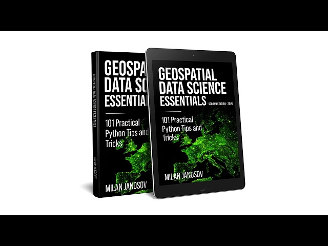
Milan Janosov's book provides a Python-based guide to geospatial data science. It covers vector and raster processing using ...
204 views
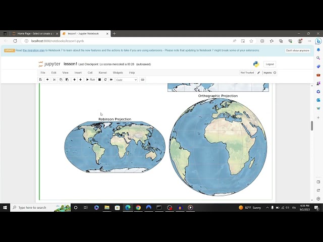
Learn basic concepts about geospatial data: crs, projections, datum and geospatial data visualization. Code available at: ...
313 views
497 views
CARTO's Spatial Data Scientists explain this growing field, discussing key use cases, verticals, technologies and types of analysis ...
31,346 views
6 years ago
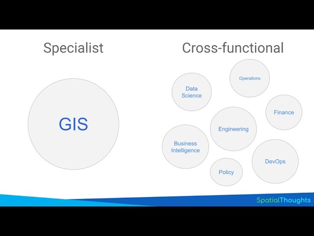
Access the presentation at https://bit.ly/essential-geospatial-skills-2023 Content - 00:37 Evolution of Geospatial Industry - 02:38 ...
6,293 views
Azavea develops open source tools for geospatial data analysis. We are trying to enable the transformation of geographic data ...
398 views
11 years ago


![TorchGeo: Revolutionizing Geospatial AI [Geospatial Data Analysis]](/api/proxy/image?url=https%3A%2F%2Fi.ytimg.com%2Fvi%2F0MumPrpvwWY%2Fsddefault.jpg)