Upload date
All time
Last hour
Today
This week
This month
This year
Type
All
Video
Channel
Playlist
Movie
Duration
Short (< 4 minutes)
Medium (4-20 minutes)
Long (> 20 minutes)
Sort by
Relevance
Rating
View count
Features
HD
Subtitles/CC
Creative Commons
3D
Live
4K
360°
VR180
HDR
140 results
... for weekly videos on modern geospatial data engineering, cloud-native GIS, and spatial analytics for professional practitioners.
6,779 views
2 weeks ago
Daily modern GIS insights: https://forrest.nyc Subscribe for weekly videos on modern geospatial data engineering, cloud-native ...
1,311 views
5 days ago
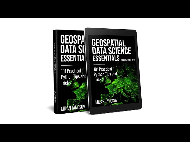
Milan Janosov's book provides a Python-based guide to geospatial data science. It covers vector and raster processing using ...
205 views
1 month ago
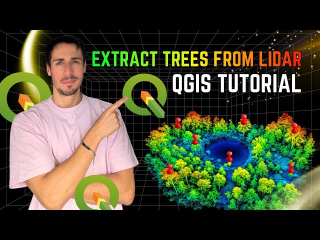
In this video, I demonstrate how to extract trees from LiDAR data using QGIS, replicating a workflow I previously developed in ...
2,335 views
3 weeks ago
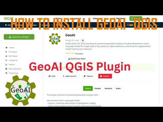
... map-making to Conversational and Agentic GIS, where users interact with spatial data through natural language and automated ...
2 views
6 days ago
Learn the complete workflow for training a geospatial AI model in FlyPix AI using annotated datasets. In this tutorial, we walk ...
23 views
13 days ago
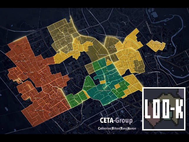
Loo-k is a comprehensive neighbourhood analysis platform designed to bridge the gap between raw geospatial data and quality ...
163 views
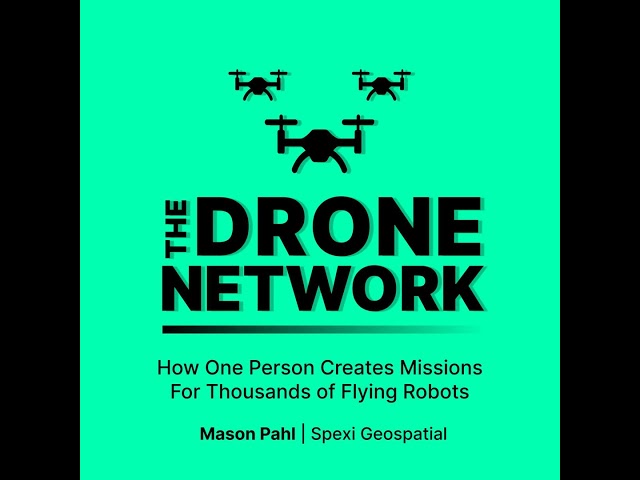
Mason Pahl is the Geospatial Data Lead at Spexi Geospatial — the person responsible for turning client needs into safe, flyable ...
38 views
... case generation, followed by frame extraction, AI-based crack detection, GPS synchronization, and geospatial data processing.
19 views
Major infrastructure requires accurate data and continuous monitoring. Working with our authorised partner@atyges, teams used ...
2,803 views
... At NGEO SPATIAL SOLUTION, we provide training in GIS, Remote Sensing, Spatial Analysis, and Geospatial Data Processing, ...
... Geographical Data, Scientific Computing, Image Transformation, Geospatial Data Processing, Spectral Analysis, Raster Data, ...
103 views
... end-to-end geospatial data pipeline: from mission planning and airspace safety checks to data processing and client delivery.
22 views
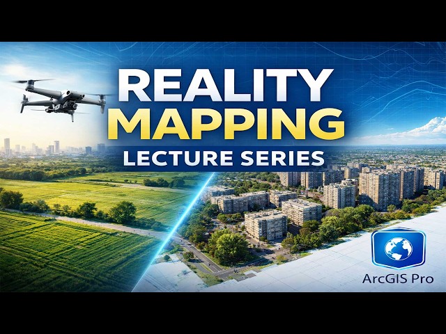
This lecture provides a clear introduction to Reality Mapping in ArcGIS Pro, focusing on essential concepts, workflow, and ...
81 views
This video highlights Google Earth Engine (GEE) as a revolutionary cloud-native platform that facilitates the processing of ...
7 views
Python for GIS | Basic to Advanced Guide | Hindi & English** In this video, you will learn **Python for GIS from Basic to Advanced ...
339 views
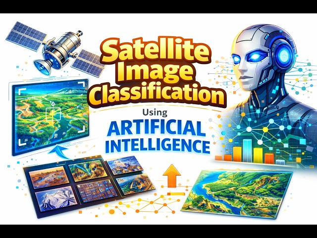
In this video, we explore Satellite Image Classification using Artificial Intelligence, an advanced approach to analyzing and ...
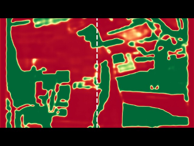
In this free preview from the Fundamentals of GeoAI course, we define our study area over an agricultural region in Hungary to ...
363 views
8 days ago
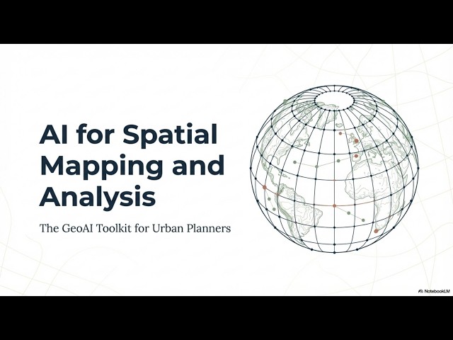
This document introduces the GeoAI Toolkit for Urban Planners, a comprehensive resource developed by UN-Habitat and ...
69 views
In this demo, we showcase how MonkDB powers a Formula 1 race intelligence platform that brings together real-time telemetry, ...
85 views