Upload date
All time
Last hour
Today
This week
This month
This year
Type
All
Video
Channel
Playlist
Movie
Duration
Short (< 4 minutes)
Medium (4-20 minutes)
Long (> 20 minutes)
Sort by
Relevance
Rating
View count
Features
HD
Subtitles/CC
Creative Commons
3D
Live
4K
360°
VR180
HDR
157,178 results
Ready to move beyond desktop GIS? Step into the Spatial Lab: a global community for ambitious geospatial professionals who ...
179,266 views
3 years ago
What is GIS? https://gisgeography.com/what-is-gis/ US Maps - https://usmaps.com/ Esri Mapping Software - https://www.esri.com/ ...
271,953 views
2 years ago
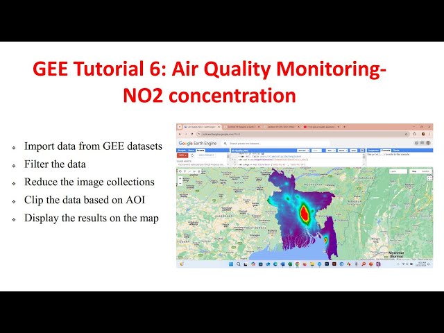
In this video, we will learn how to perform air quality monitoring in Google Earth Engine using Sentinel-5 satellite imagery.
8,397 views
1 year ago
72,847 views
Photogrammetry is revolutionizing the way we capture and analyze spatial data! In this video, we break down the basics of ...
16,256 views
11 months ago
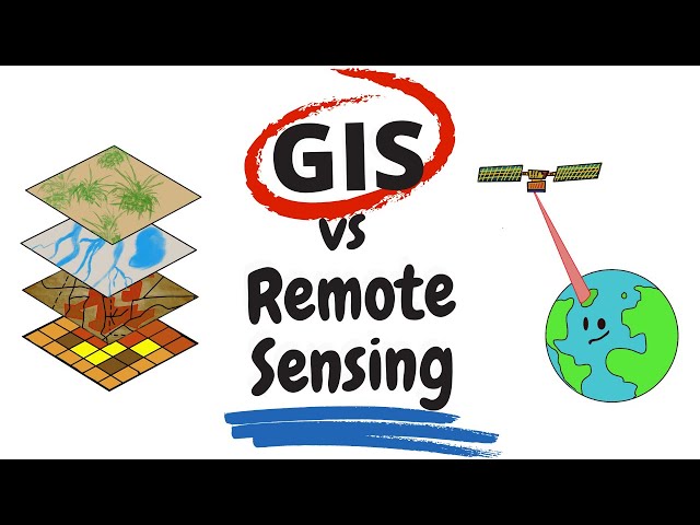
"Remote Sensing vs GIS" is something that everyone in the spatial science realm had pondered about at some point in their life.
155,511 views
5 years ago
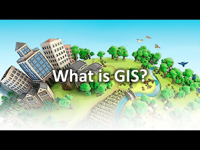
All of us are consuming location-based services directly or indirectly. Do you know, all these services are baked up by GIS ...
463,244 views
OpenAerialMap is an open service to provide access to a commons of openly licensed imagery and map layer services.
11,020 views
Geospatial Information Systems (GIS) is a unique problem-solving technology with remarkable impact. In this video, visionary ...
144,883 views
Hi everyone. Hope you are doing fine. Welcome to GIS & RS Solution. Today's tutorial about ArcGIS Pro. I have already uploaded ...
217,315 views
4 years ago
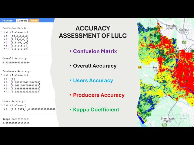
Hello everyone, welcome to @GISRSSolution I hope you are doing great. In this video, I demonstrated how to carry out accuracy ...
3,360 views
2 months ago
Welcome to the ArcGIS Pro Tutorial Series by GIS & RS Solution! I'm excited to launch this brand-new tutorial series on ArcGIS ...
1,776 views
5 months ago
Learn how to leverage DeepSeek AI to revolutionize your geospatial workflows! In this video, we cover: ✓ Introduction to ...
3,452 views
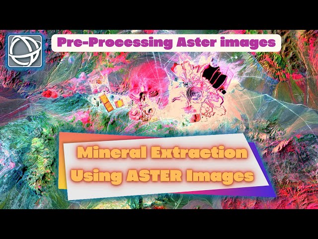
Mineral Extraction is one of the Remote Sensing Applications through satellite images. Using the reflection and emit of a feature ...
39,039 views
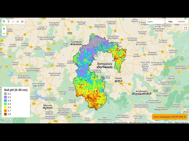
My name is Ali, and I'll be guiding you through the entire process, step by step. In this video, we'll start by loading the soil pH data ...
3,913 views
Ready to take your GIS skills to the next level in 2025? This video walks you through 5 exciting GIS project ideas that you can ...
12,018 views
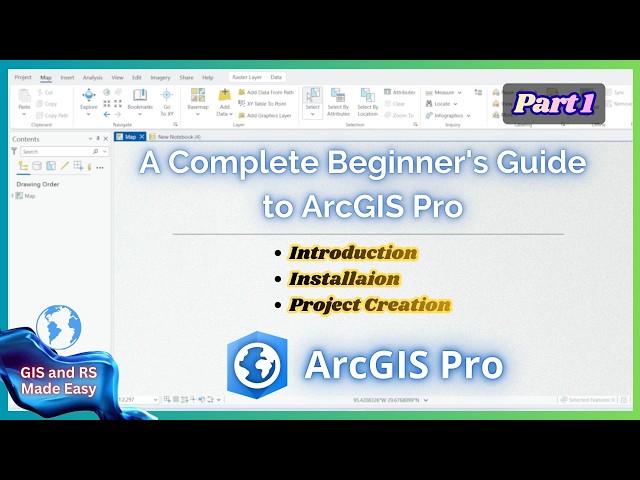
Are you new to GIS and want to learn ArcGIS Pro from scratch? This complete beginner-friendly tutorial will help you understand ...
81 views
11 days ago
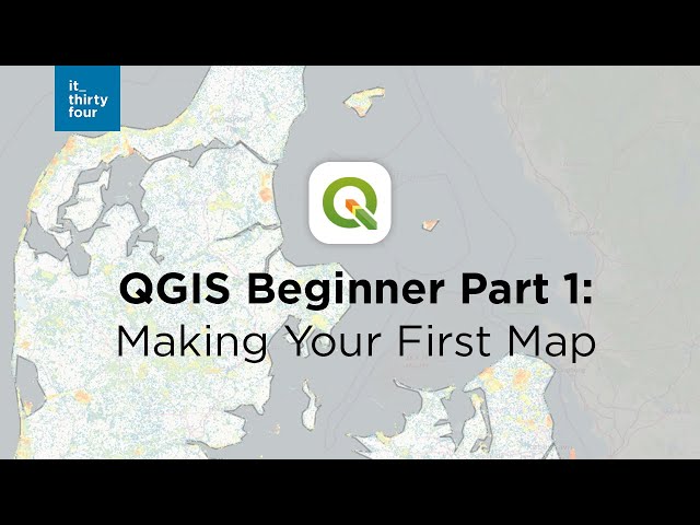
Take a look at this beginner tutorial and create your first map in QGIS. 0:00 Intro 0:43 Adding your first data 2:35 Connecting to ...
393,988 views
Tutorial 15a in a series of 20 (15 is broken into two videos: a and b) covering remotely sensed data in ArcMap 10.x versions.
8,232 views
12 years ago
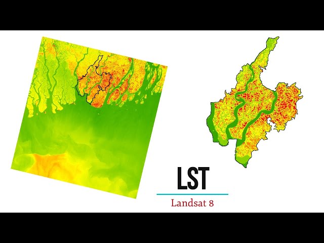
In this tutorial you will learn how to calculate Land Surface Temperature of LANDSAT 8 Image using ArcGIS. If you like this video, ...
153,161 views