Upload date
All time
Last hour
Today
This week
This month
This year
Type
All
Video
Channel
Playlist
Movie
Duration
Short (< 4 minutes)
Medium (4-20 minutes)
Long (> 20 minutes)
Sort by
Relevance
Rating
View count
Features
HD
Subtitles/CC
Creative Commons
3D
Live
4K
360°
VR180
HDR
3,664,539 results
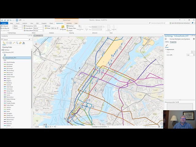
New to ArcGIS Pro? Making the transition from ArcMap? I've got you covered in your first day with ArcGIS Pro by showing you the ...
49,716 views
3 years ago
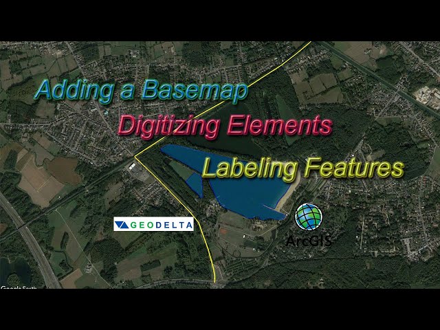
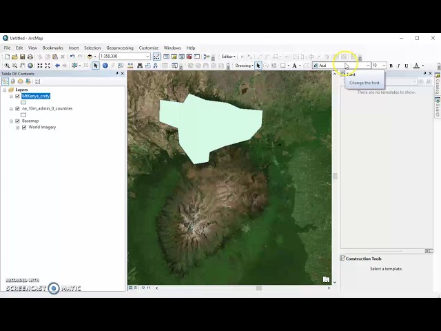
This tutorial explains the basic steps of digitizing components of an ESRI basemap, creating new shapefiles and labeling them ...
151,412 views
7 years ago
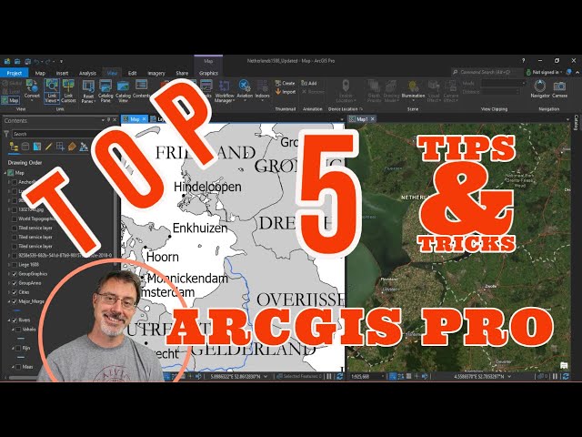
What are your top 5 tips & tricks for ArcGIS Pro? In this video, I show you my top 5 most helpful aspects of the best GIS software out ...
44,730 views
In this tutorial, you'll explore the main components of the ArcGIS Pro user interface—the ribbon, views, and panes. Follow the ...
135,944 views
1 year ago
See how to make a layout in ArcGIS Pro. You'll also see how to add guides to a layout, add an overview map and extent indicator, ...
272,947 views
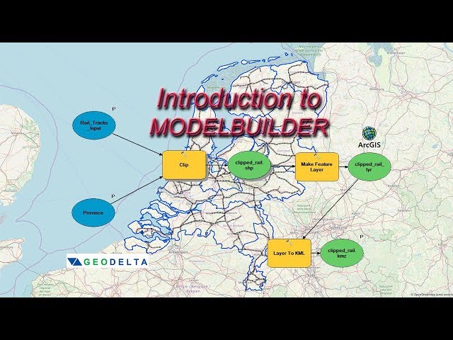
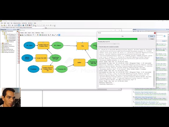
In this ArcGIS Model Builder tutorial you will learn how to create a model to automate the processes of clipping two shapefiles, ...
61,941 views
6 years ago
Are you planning to migrate from ArcMap to ArcGIS Pro? Follow along as Esri instructor Kevin Mumford explores three basic ...
8,187 views
4 years ago
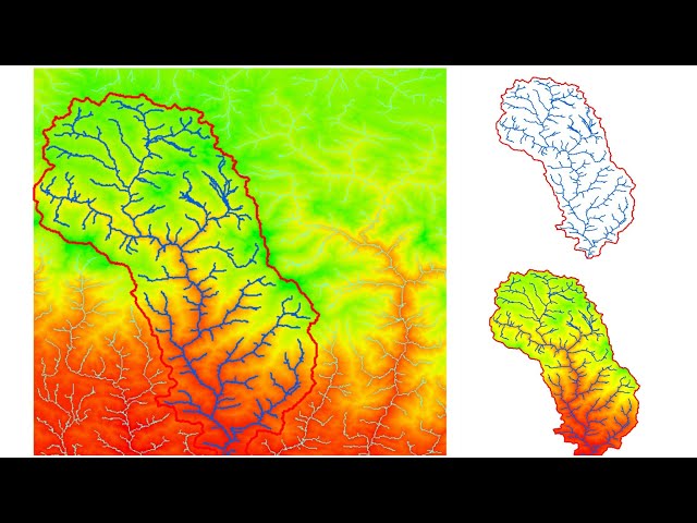
You will know How to delineating Watershed from a digital elevation model (DEM) using arcgis. Stream delineation, watershed ...
234,402 views
5 years ago
How to open ArcMap, add relevant toolbars and windows and basemaps and vector file. Open ArcCatalog and create a new ...
160,562 views
8 years ago
1,018 views
In this video from Esri UC 2025, Jess Altamira and Caitlin Marin demonstrate three new deep learning tools in ArcGIS that ...
12,534 views
6 months ago
In this demonstration, learn how to transfer ArcMap content to ArcGIS Pro and how to gain familiarity with the ArcGIS Pro interface.
11,174 views
Learn to design your study area layout in a favorable style in ArcMap in a very easy way. #study_area_mapping_in_arcmap ...
6,504 views
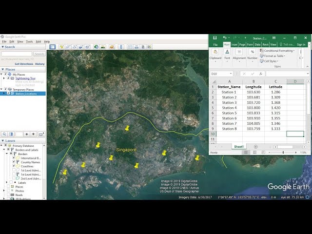
This tutorial shows you how to import Latitude and Longitude coordinate information from excel and plot them in ArcGIS ⭐NOTE: ...
300,209 views
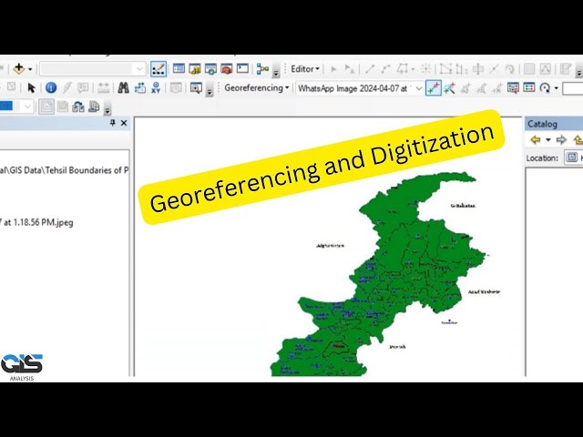
This tutorial shows you how to use ArcMap to georeference an image or a scanned map ⭐NOTE: 'Kite' is an excellent tool that ...
154,419 views
Learn how to create a model builder on ArcMap 10.8.1 . This video is part of +30 hours https://www.arcgismatsery.com course.
11,682 views
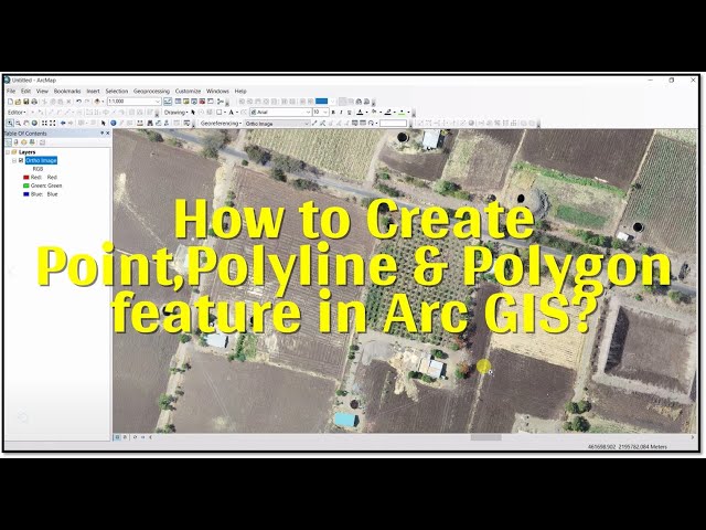
In this video we learn how to creat Shapefile in Arc GIS and How to use point, polyline & Polygon features in Digitization Process.
72,499 views
A walk though of creating a feature class in a geodatabase and creating and editing data within that feature class.
27,557 views
13 years ago
Create a new version of a data set in a different projection using two different methods Learn more about this topic at: ...
5,836 views
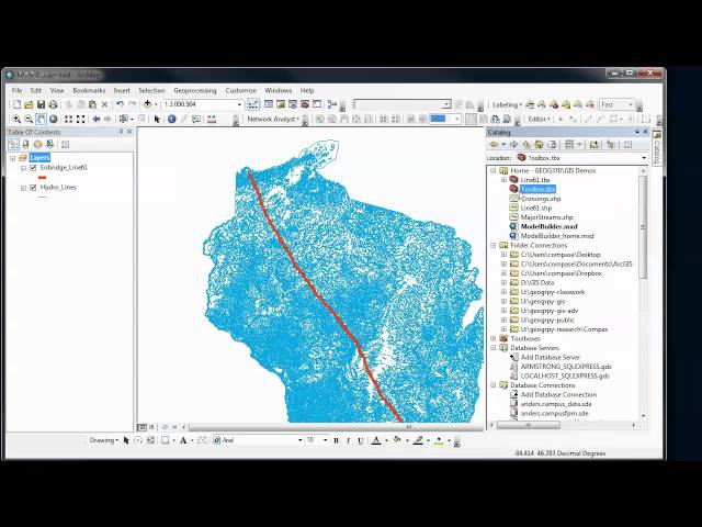
Overview of how to use the ModelBuilder in ArcGIS to automate and document your GIS analysis procedures. In Part 1, we create ...
3,992 views
11 years ago