Upload date
All time
Last hour
Today
This week
This month
This year
Type
All
Video
Channel
Playlist
Movie
Duration
Short (< 4 minutes)
Medium (4-20 minutes)
Long (> 20 minutes)
Sort by
Relevance
Rating
View count
Features
HD
Subtitles/CC
Creative Commons
3D
Live
4K
360°
VR180
HDR
1,888,928 results
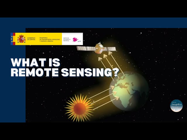
Discover the technology that enables to explore the terrain without being in contact with it. A tour around the current technologies ...
20,589 views
5 years ago
In the previous video about Remote Sensing, we told you the definition of Remote Sensing. In this video, we have tried to explain ...
132,335 views
7 years ago
Did you ever wonder how your camera actually takes a picture? It's all about light - it records the light that objects reflect.
179,767 views
10 years ago
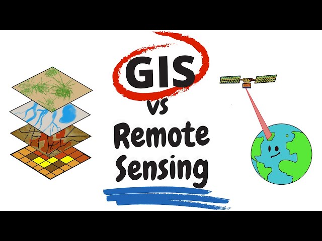
"Remote Sensing vs GIS" is something that everyone in the spatial science realm had pondered about at some point in their life.
154,654 views
This NEON Science video overviews what lidar or light detection and ranging is, how it works and what types of information it can ...
1,000,013 views
11 years ago
CIRES Fellow and NASA Chief Scientist Waleed Abdalati and CIRES Fellow Steve Nerem explain Remote Sensing and how it is ...
270,907 views
14 years ago
Welcome to GIS Resources, your ultimate destination for everything related to Geographic Information Systems (GIS), Remote ...
589 views
1 year ago
In this video I give an introduction to remote sensing. This video will help you familiarize yourself with the definition, applications of ...
13,287 views
Source Link: https://appliedsciences.nasa.gov/sites/default/files/D1P3_Fundamentals.pdf#page=8.00 How do we study Earth from ...
55 views
4 months ago
Overview of using multi-spectral sensors for agricultural applications.
4,972 views
4 years ago
Radar satellites send long-wavelength microwave pulses from space to Earth and receive the microwaves reflected by objects.
1,194 views
9 months ago
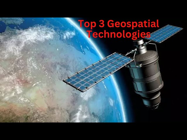
In this video, you will explore the top three geospatial technologies that have made a significant impact in the industry. You will ...
11,629 views
2 years ago
I-Get is a National Science Foundation project for remote sensing education. This module is intended to introduce you to the topic ...
73,757 views
Learn how the science of remote sensing helps to increase our understanding of atmospheric and oceanic processes on Earth.
2,757 views
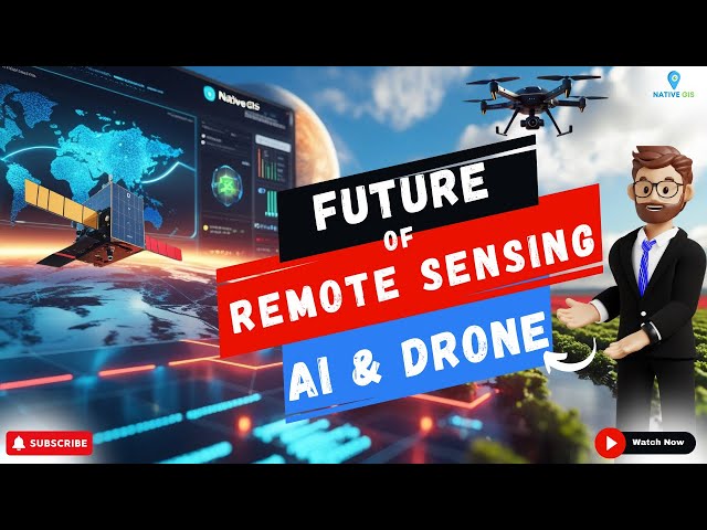
How is AI transforming remote sensing and drone technology? In this video, we explore the cutting-edge AI-powered remote ...
999 views
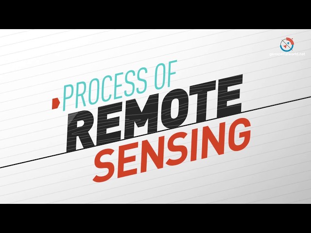
Meaning & Process of Remote Sensing | Components & Stages Radiation emitted and reflected by objects in a given region can ...
1,424 views
What is Remote Sensing? Let's understand the term in detail. #RemoteSensing #gis #geospatial #space. Explore the fascinating ...
756 views
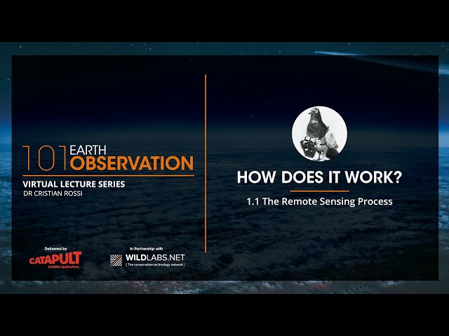
The first part of the lecture series is focused on exploring the physical fundamentals of the main two earth observation ...
1,046 views
3 years ago
This is the first video in the Satellite Data Training Series, presented by the Aerosol Team at the NOAA/NESDIS Center for Satellite ...
3,732 views
Source Link: https://uou.ac.in/sites/default/files/slm/MGIS-03.pdf How do we study Earth from space? 🛰️ In this video, we ...
103 views