ViewTube

ViewTube
Sign inSign upSubscriptions
Filters

Upload date

Type

Duration

Sort by

Features

Reset

553 results

University of Glasgow
Programme Spotlight: Geospatial Data Science and AI Information Session

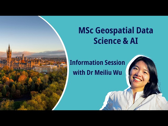
Discover our new MSc in Geospatial Data Science & AI and develop cutting‑edge skills in GIS, GeoAI, ML, and big data. For more ...

10:38
Programme Spotlight: Geospatial Data Science and AI Information Session

650 views

5 days ago

Geojay GIS Solution
Complete Introduction To ENVI Software Interface: Remote Sensing Software and Spatial Analysis

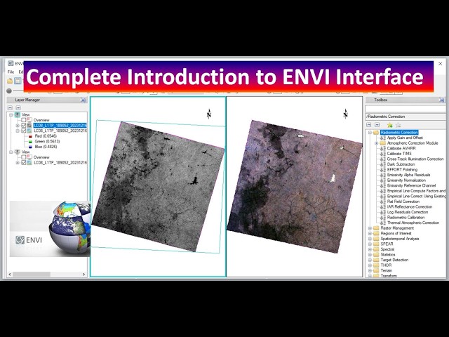
... Technology, ENVI Tutorial, Spatial Data, Remote Sensing Applications, Satellite Data, Data Visualization, Image Classification, ...

13:37
Complete Introduction To ENVI Software Interface: Remote Sensing Software and Spatial Analysis

52 views

5 days ago

ArcGIS Pro With Mehdi
Lesson 19 – Spatial Analysis of COVID-19 Data

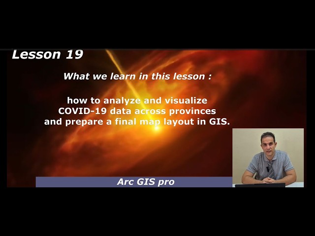
In this lesson, we explore how to visualize and analyze COVID-19 data across provinces using GIS tools. The tutorial ...

6:40
Lesson 19 – Spatial Analysis of COVID-19 Data

17 views

5 days ago

Just Tim
Tableau Prep 2026.1 features, Snowflake In-Database, Hyper as a Service + New Connectors

Sign up to Playfair+ http://bit.ly/4lgOeio - Discount code: TableauTim - Good for 10% discount at checkout. [ Affiliate Link ] My ...

4:45
Tableau Prep 2026.1 features, Snowflake In-Database, Hyper as a Service + New Connectors

411 views

6 days ago

PlanetEye Farm AI ltd
Modern Topographic Survey Using Satellite, GIS & AI​

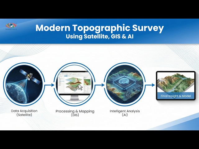
Watch the complete webinar where we explored how Satellite Remote Sensing, GIS, Digital Elevation Models (DEM), and Artificial ...

12:16
Modern Topographic Survey Using Satellite, GIS & AI​

10 views

5 days ago

Abiola David - Databricks and Microsoft MVP
Visualise Geospatial Data using Microsoft Fabric Map

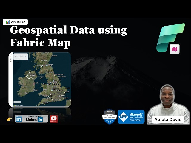
One of the exciting additions to Microsoft Fabric is the Map Item which enables teams to visualize and analyze geospatial data ...

11:53
Visualise Geospatial Data using Microsoft Fabric Map

39 views

7 hours ago

Advanced Fishing and Outdoor LLC
How to Find Halibut Using IPHC Survey Data | QGIS Marine Chart Tutorial

In this video, I show you how to import the IPHC Halibut Survey dataset into QGIS and turn it into a powerful halibut density overlay ...

15:51
How to Find Halibut Using IPHC Survey Data | QGIS Marine Chart Tutorial

216 views

4 days ago

NASCompares
WILL DSM 8 COME THIS YEAR? DO WE EVEN WANT IT? (RAID Room)

Aoostar WTR Max (now $679) - https://aoostar.com/products/aoostar-wtr-max-amd-r7-pro-8845hs-11-bays-mini-pc?ref=dactkmog ...

13:31
WILL DSM 8 COME THIS YEAR? DO WE EVEN WANT IT? (RAID Room)

5,137 views

2 days ago

Alex Hitt, The Great Discovery Pro
Obsidian AI OS w/ Claude Code, GPT 5.4 & Gemini Ultra | Local-First Vault for Autonomous Agents

Try Obsidian: https://obsidian.md/ Most people use Obsidian as a markdown note-taking app. This video breaks down a much ...

8:49
Obsidian AI OS w/ Claude Code, GPT 5.4 & Gemini Ultra | Local-First Vault for Autonomous Agents

285 views

2 days ago

In Vitro Technologies - Life Science
Spatial Visualisation Tool for RNAi and Oligonucleotide-Based Therapies | Webinar Recording

This session demonstrates how spatial data can help researchers better interpret delivery, distribution, and biological effects of ...

19:05
Spatial Visualisation Tool for RNAi and Oligonucleotide-Based Therapies | Webinar Recording

8 views

4 days ago

Research Tips
How to get free shapefiles for US boundaries for mapping and geospatial analysis? A step-wise guide

This video is intended for audience who are interested in mapping and geospatial analysis. The video shows steps of ...

6:26
How to get free shapefiles for US boundaries for mapping and geospatial analysis? A step-wise guide

24 views

6 days ago

Study Hacks-Institute of GIS & Remote Sensing
Google Earth Engine online training program integrated with ArcGIS pro and QGIS

GIS & Remote Sensing students Environmental researchers Urban planners Data scientists working with spatial data ...

13:31
Google Earth Engine online training program integrated with ArcGIS pro and QGIS

39 views

4 days ago

Geojay GIS Solution
Watershed Drainage Extraction In ArcGIS Pro || Watershed Analysis In ArcGIS Pro for Everyone

... Environmental Impact, Water Management, Cartography, Resource Management, QGIS vs ArcGIS, Spatial Data, GIS Resources ...

13:34
Watershed Drainage Extraction In ArcGIS Pro || Watershed Analysis In ArcGIS Pro for Everyone

51 views

5 days ago

File Extension Geeks
How to Open ADF Files (Amiga Emulator or ESRI ArcGIS)

Your Amiga Disk File format won't open? This video will help. In just a few minutes, I'll show you how to open, preview, and fix ...

4:09
How to Open ADF Files (Amiga Emulator or ESRI ArcGIS)

0 views

4 days ago

Byte Sized Explainer
Every GPU Feature Explained in 9 Minutes

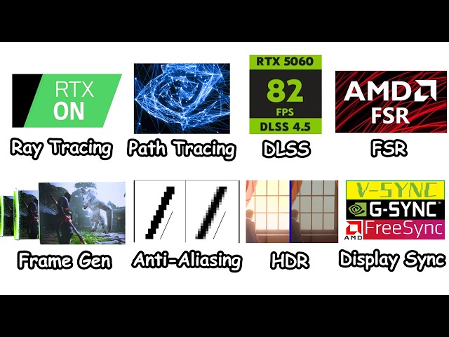
Explaining Every GPU Feature in just 9 Minutes — including Ray Tracing, Path Tracing, DLSS, FSR, Frame Generation, HDR, ...

9:40
Every GPU Feature Explained in 9 Minutes

151,910 views

6 days ago

That Learning TV
Georeferencing in ArcMap

This process is essential for aligning spatial data accurately within a GIS, ensuring correct spatial analysis and map production.

10:27
Georeferencing in ArcMap

26 views

5 days ago

Tech Easy
How To Use AI To Analyse Excel/google sheet Data

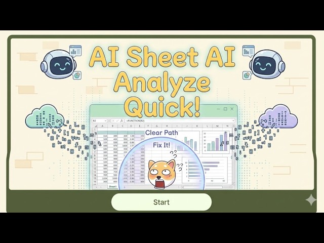
How to use AI to analyze Excel or Google Sheets data (Quick Summary): To analyze spreadsheet data using AI, you can use ...

4:55
How To Use AI To Analyse Excel/google sheet Data

60 views

5 days ago

Open Geospatial Solutions
How to Create a Spinning Globe with Your Own Data Layers (No Coding Required)

... https://amazon.com/dp/B0FFW34LL3 Leanpub: https://leanpub.com/gispro Spatial Data Management with DuckDB: From ...

11:47
How to Create a Spinning Globe with Your Own Data Layers (No Coding Required)

691 views

2 days ago

Native GIS
Spatial RAG Pipelines: The New Enterprise Architecture for GeoAI

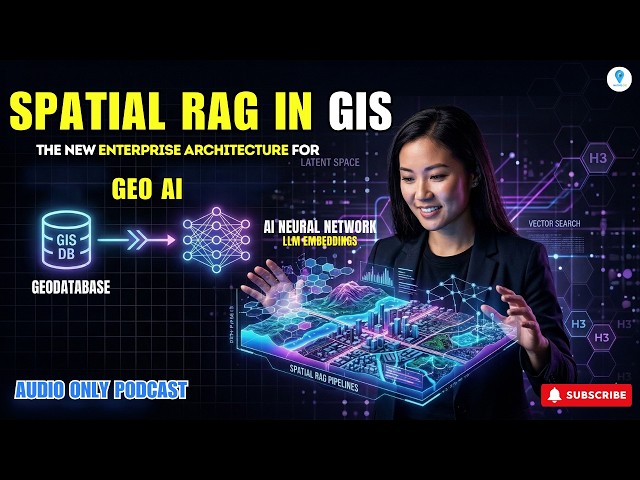
Spatial RAG Pipelines: The New Enterprise Architecture for GeoAI The era of the static feature class is over. As enterprise data ...

5:24
Spatial RAG Pipelines: The New Enterprise Architecture for GeoAI

50 views

2 days ago

Geojay GIS Solution
How To Create Kriging Interpolation in Arcgis Pro

... geospatial technology, data prediction, GIS applications, Kriging interpolation, spatial data, predictive modeling, geospatial data ...

4:26
How To Create Kriging Interpolation in Arcgis Pro

46 views

6 days ago