Upload date
All time
Last hour
Today
This week
This month
This year
Type
All
Video
Channel
Playlist
Movie
Duration
Short (< 4 minutes)
Medium (4-20 minutes)
Long (> 20 minutes)
Sort by
Relevance
Rating
View count
Features
HD
Subtitles/CC
Creative Commons
3D
Live
4K
360°
VR180
HDR
43,009 results
In the subject of Geographic Information Systems (GIS), the vector and raster formats are two ways of representing real-world ...
40,063 views
1y ago
#GIS is a technology that captures, stores, analyzes, and visualizes #geospatial data, offering insights for decision-making.
482 views
2y ago
Rapid advancements in geospatial technologies such as geographical information systems (GIS), global position systems (GPS) ...
23,574 views
3y ago
Learn about Geospatial Analysis with the National Student Data Corps! Why is geospatial data processing important? What are ...
413 views
Get actionable insights from your data at scale. Enhance geospatial data and use processing algorithms, all in one platform.
526 views
Got a minute? Get a high-level look at ENVI® and its capabilities and easy integration with Esri's ArcGIS products. To learn more ...
1,448,523 views
9mo ago
A growing number of organizations increasingly depend on a disparate and sophisticated array of geospatial data to make the ...
521 views
11y ago
The future of GIS is here! In this video, we explore how cloud computing is revolutionizing Geographic Information Systems (GIS), ...
290 views
The journey of satellite data from Sputnik 1 to today is incredible! But with data volumes reaching hundreds of terabytes daily, how ...
1,148 views
Mastering these will make you a GIS data science expert and greatly improve your geospatial skillset, allowing you to perform ...
7,601 views
What Are The Basics Of Geospatial Data? In this informative video, we will dive into the fundamentals of geospatial data and its ...
12 views
10mo ago
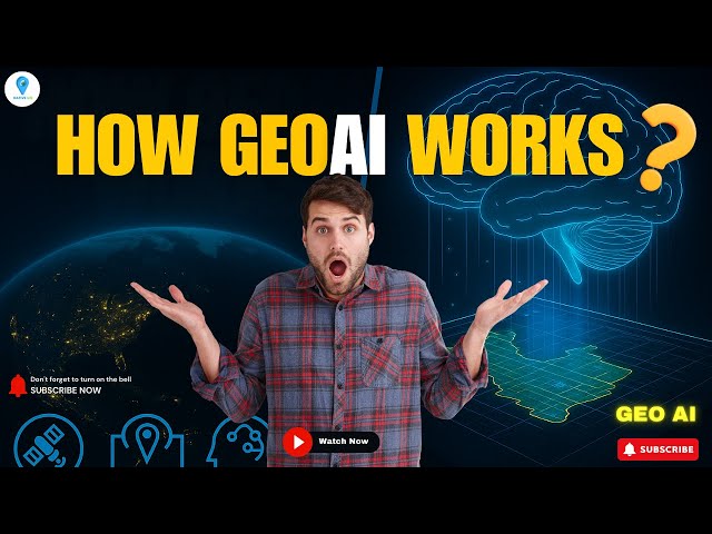
How does GeoAI actually work? In this video, we break down the fascinating workflow behind GeoAI (Geospatial Artificial ...
6,611 views
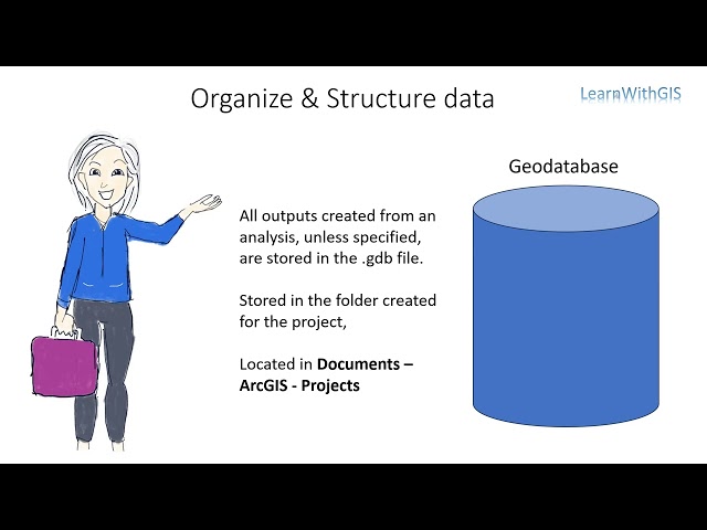
During this video you will learn about spatial data organisation and management since you will be generating a lot of new data ...
16 views
This video is a demonstration of one of the tutorials found in the book Geospatial Concepts: The Fundamentals of Geospatial ...
2,940 views
7y ago
Content preview for Week 1 of the online course 'Geospatial Data Science with R'. Learn the skills to work effectively with spatial ...
1,070 views
Being innovative and different, we change the things using the technology of our generation while mapping everything around us.
2,633 views
5y ago
We'll also explore the importance of using subsets of data and programming libraries that facilitate efficient data processing.
4 views
7mo ago
1,104 views