Upload date
All time
Last hour
Today
This week
This month
This year
Type
All
Video
Channel
Playlist
Movie
Duration
Short (< 4 minutes)
Medium (4-20 minutes)
Long (> 20 minutes)
Sort by
Relevance
Rating
View count
Features
HD
Subtitles/CC
Creative Commons
3D
Live
4K
360°
VR180
HDR
143,751 results
Short video on creation of shapefile in ArcGIS #createshapefile #shapefile #ArcGIS.
113,097 views
3 years ago
Make an ESRI Shape file using Google Earth and QGIS #tutorial #gis #qgis #googleearth #tutorialyoutube #gistutorial.
185,556 views
2 years ago
This tutorial will show you how to import a DEM image into the ArcGis software. Please subscribe, like, and comment. احصل على ...
40,159 views
arcgis tutorial for beginners, how to create shapefile in arcgis, how to create shapefile in arcmap, how to make shapefile in arcgis, ...
193,865 views
8 years ago
learn to create points in ArcGIS by two different techniques in less than one minute. #Points_arcgis #createPointsInArcGIS.
76,103 views
In GIS, to clip is to overlay a polygon on one or more target features (layers) and extract from the target feature (or features) only ...
97,144 views
5 years ago
Here's the full ArcGIS Pro tutorial: https://youtu.be/RTLBgd8MmrY.
37,528 views
11 months ago
Explore the possibilities of mapping in ArcGIS Online. This video shows you how to get started with creating a map in Map Viewer.
98,660 views
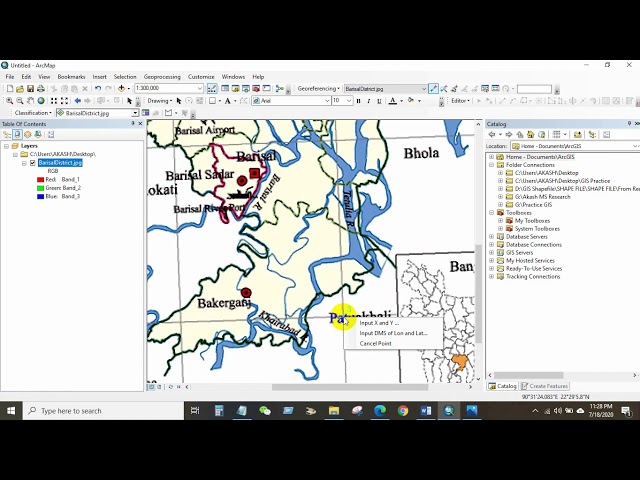
How to Georeference a JPEG/JPG Image or Scanned Map in ArcGIS If you want to learn GIS and Remote sensing in easy way, ...
102,346 views
Recorded with https://screencast-o-matic.com.
441 views
7 years ago
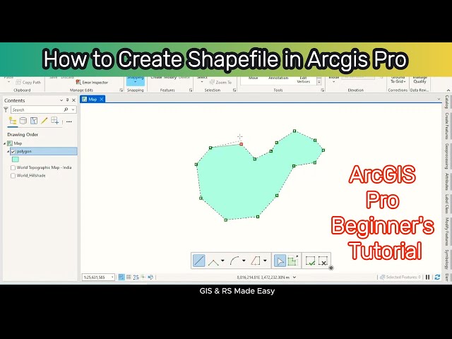
gis #arcgis #arcgistutorial #tutorialforbeginners How to Create Shapefile in ArcGIS Pro | ArcGIS Pro Tutorial for Beginners ...
18,184 views
1 year ago
Want to combine multiple shapefiles into one without losing attribute data? This tutorial shows you how to do it quickly and easily ...
24 views
4 months ago
Quick video tutorial on how to use the Clip geoprocessing function in ArcGIS 10.
34,911 views
13 years ago
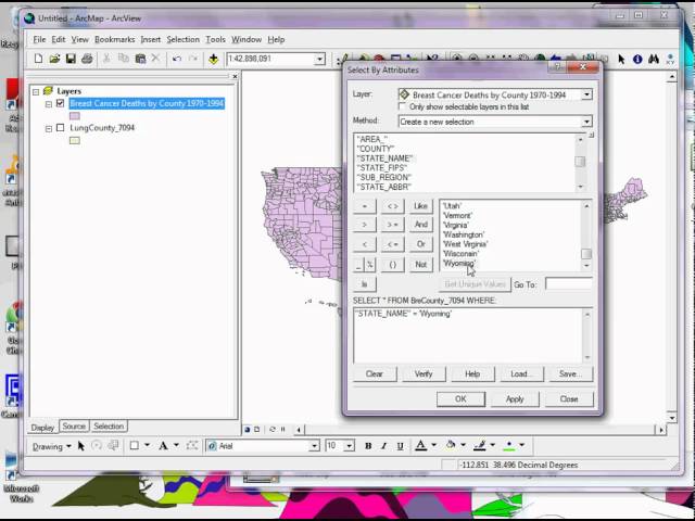
Describes how to select features from a layer by attributes through a simple query using ArcGIS 9.3.1. Lecture review tutorial ...
129,250 views
15 years ago
Learn how to assign a coordinate system in ArcGIS for AutoCAD. Follow us on Social Media! Twitter: https://twitter.com/Esri ...
18,015 views
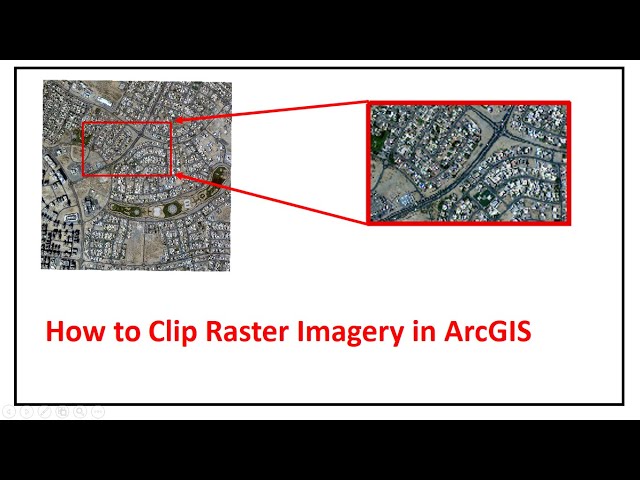
In this tutorial, i willpresent how to clip raster imagery in arcgis Why clip rasters? Clipping rasters means that you can save time.
43,516 views
This video is talking about how to install ArcMap 10.8 & activate in your PC. ArcGIS is the most useful GIS software which was ...
25,902 views
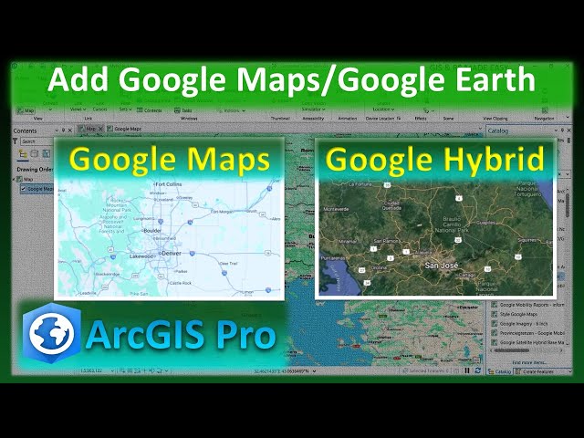
arcgis #googlemaps #arcgispro #googleearth In this step-by-step tutorial, you'll learn how to easily add Google Maps, Google ...
1,610 views
Let us help you with all your tech support needs! Contact us at +1-845-454-2027 or [ netEffx.com ] Tags w/hash: #tech #pc ...
20,727 views
Learn how to split a building polygon in ArcGIS using the Split Tool and Editor Toolbar. This tutorial covers precise ...
4,645 views

![How to create a point In ArcGIS [Insert X,Y coordinates]](/api/proxy/image?url=https%3A%2F%2Fi.ytimg.com%2Fvi%2FS4sG1n71bas%2Fsddefault.jpg)