Upload date
All time
Last hour
Today
This week
This month
This year
Type
All
Video
Channel
Playlist
Movie
Duration
Short (< 4 minutes)
Medium (4-20 minutes)
Long (> 20 minutes)
Sort by
Relevance
Rating
View count
Features
HD
Subtitles/CC
Creative Commons
3D
Live
4K
360°
VR180
HDR
2,792,173 results
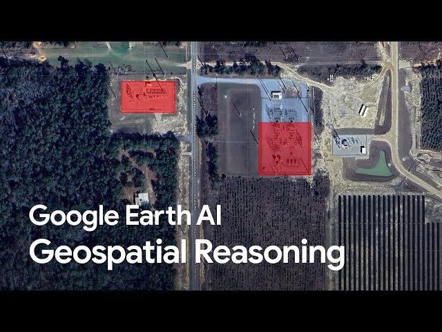
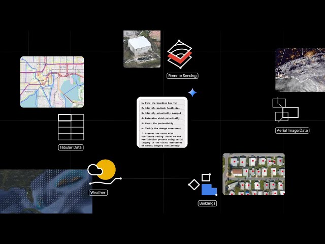
With Geospatial Reasoning you can use Gemini-powered agents to access these models for rapid analysis and insight, helping ...
57,146 views
4 months ago
AI combined with location technology is helping organizations around the world realize the promise of building a better future.
16,004 views
1 year ago
When looking in the dictionary you may not find the term 'geospatial intelligence.' This term represents a critical piece of ...
66,711 views
8 years ago
To know more on Geo-spatial technology, Refer Weekly Focus 76: Geo-spatial data and National Security. Download at: ...
18,863 views
3 years ago
Rapid advancements in geospatial technologies such as geographical information systems (GIS), global position systems (GPS) ...
23,459 views
A lot of people are asking about this. Here are my thoughts.
6,052 views
7 months ago
The Geospatial Analytics unit in the HSRC's eResearch Knowledge Centre enhances research capabilities through spatial ...
270 views
This career video provides day in the life information about the following jobs and occupations. JOB TITLE: Geographic ...
45,522 views
6 years ago
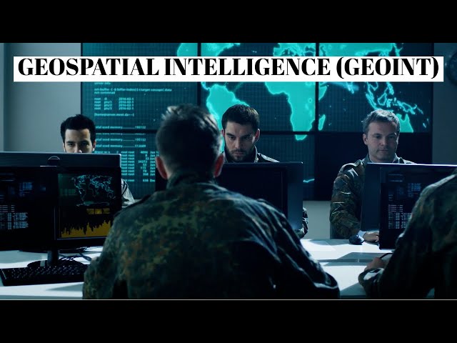
Geospatial Intelligence, or GEOINT, is the process of collecting, analyzing, and interpreting data associated with a specific ...
24,446 views
2 years ago
Got a minute? Get a high-level look at ENVI® and its capabilities and easy integration with Esri's ArcGIS products. To learn more ...
1,175,847 views
9 months ago
Geospatial Reasoning is a framework that uses Gemini's reasoning ability – along with inference from multiple geospatial ...
17,192 views
11 months ago
This video introduces concepts around geospatial analysis. It is a part of the geospatial analytics with Kinetica series. Kinetica is a ...
11,098 views
4 years ago
Geospatial Intelligence is also referred to as GEOINT. Leveraging location information to derive meaningful analysis.
4,883 views
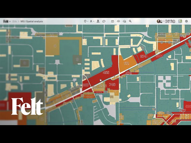
Learn what spatial analysis means in GIS and mapping. Discover how geographic data, remote sensing, and spatial relationships ...
11,993 views
The geospatial intelligence imagery analyst is responsible for analyzing overhead and aerial imagery developed by photographic ...
3,149 views
5 years ago
In this video Nick explains Geospatial Data or Location Data used in deriving Geospatial Intelligence. Data comes in two formats, ...
8,867 views
Stop guessing which Python libraries are essential for a successful GIS career; learn these five to boost your skills and land your ...
6,789 views
8 months ago