Upload date
All time
Last hour
Today
This week
This month
This year
Type
All
Video
Channel
Playlist
Movie
Duration
Short (< 4 minutes)
Medium (4-20 minutes)
Long (> 20 minutes)
Sort by
Relevance
Rating
View count
Features
HD
Subtitles/CC
Creative Commons
3D
Live
4K
360°
VR180
HDR
115 results
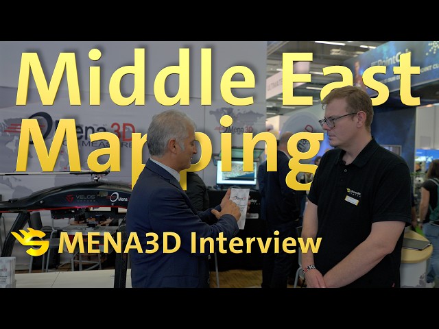
In this video, we talk with MENA3D, a German geospatial solutions provider based in Regensburg, about their work and projects ...
17 views
2 weeks ago
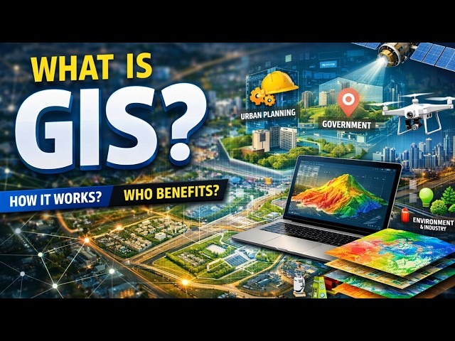
Geographic Information System (GIS) is a powerful technology used to collect, manage, analyze, and visualize spatial or ...
13 views
3 weeks ago