Upload date
All time
Last hour
Today
This week
This month
This year
Type
All
Video
Channel
Playlist
Movie
Duration
Short (< 4 minutes)
Medium (4-20 minutes)
Long (> 20 minutes)
Sort by
Relevance
Rating
View count
Features
HD
Subtitles/CC
Creative Commons
3D
Live
4K
360°
VR180
HDR
993,894 results
Learn what spatial analysis means in GIS and mapping. Discover how geographic data, remote sensing, and spatial relationships ...
11,545 views
1 year ago
An introduction to spatial data analysis for data scientists.
623 views
3 years ago
In this video https://mediaspace.esri.com/media/t/1_rzh1dfa7, Esri experts showcase 2 of their favorite new spatial analysis tools in ...
18,428 views
2 years ago
Create buffers and polygon overlays in ArcGIS, then conduct complex statistical analyses. Fundamental spatial analyses can be ...
43,191 views
8 years ago
Link to this course: ...
11,478 views
5 years ago
In this video, we explore how Spatial Data Fusion is transforming the way we measure success in the realm of spatial data.
243 views
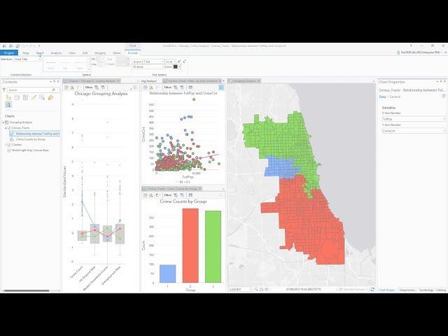
Data visualization helps us explore and summarize data, interpret and investigate analysis results, and communicate interesting ...
7,248 views
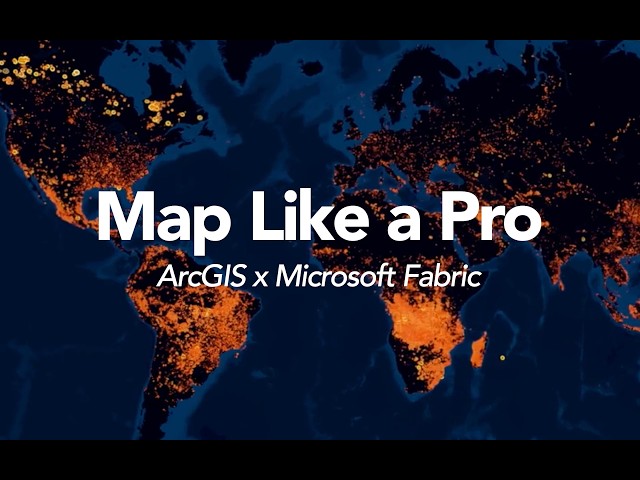
By combining Esri's unparalleled geospatial technology from ArcGIS with Microsoft Fabric's extensive services, including data ...
2,049 views
4 months ago
Curious about how maps shape our world? From navigation to climate prediction, Geographic Information Systems (GIS) play a ...
46 views
11 months ago
Rapid advancements in geospatial technologies such as geographical information systems (GIS), global position systems (GPS) ...
23,311 views
Want to accurately delineate land parcels for urban planning, real estate, or property assessment? In this tutorial, we'll show you ...
385 views
Unlock the world of GIS careers! In this video, we break down the real differences between a Spatial Analyst, a GIS Modeler, and a ...
502 views
6 months ago
What Is Spatial Analysis In GIS? Have you ever considered how geographic data can influence decision-making? In this ...
308 views
10 months ago
Let's build mapping skills and analyze some fascinating and also important data in terms of behavior and health we're opening ...
141 views
Spatial Data Analysis: Turn raw data into epic insights for your team. Imagery Processing: Master satellite and drone images ...
43,052 views
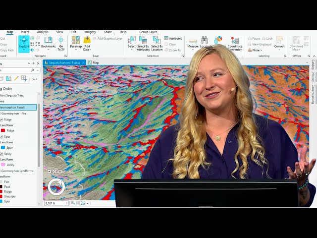
Example of Global Moran's I for assessing spatial autocorrelation in ArcPro. This video was produced by West Virginia View ...
46,587 views
Can we grow crops that will grow well in all parts of a field? UT Extension is testing seed and crop varieties on historically good ...
214 views
12 years ago
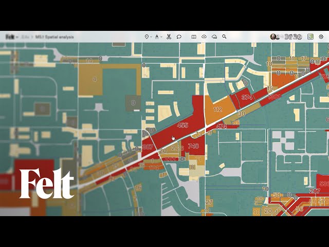
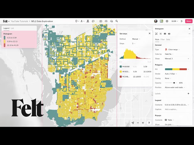
Learn different ways to explore your spatial data in Felt using table view, filters, and histograms to uncover patterns, trends, and ...
1,564 views
Explain the spatial data analysis and how it is applied in your daily activities with an example. Watch our other videos: ...
151 views
4 years ago
12 views