Upload date
All time
Last hour
Today
This week
This month
This year
Type
All
Video
Channel
Playlist
Movie
Duration
Short (< 4 minutes)
Medium (4-20 minutes)
Long (> 20 minutes)
Sort by
Relevance
Rating
View count
Features
HD
Subtitles/CC
Creative Commons
3D
Live
4K
360°
VR180
HDR
145 results
145 views
4 years ago
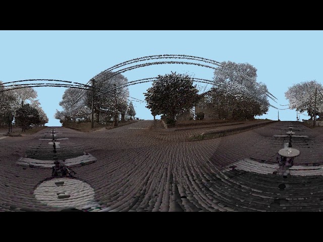
In this video, we take the DJI Inspire for a couple of test flights to gather 4K photos to use for a 3D geographic survey. Along for the ...
4,818 views
9 years ago
Using Google earth.
35 views
Streamed 1 year ago
I Stockholm på planeringsdagar.
130 views
8 years ago
This is the future of online education. You may not live in Madison, but with 360-degree workshops from the UW Cart Lab, you are ...
503 views
subscribe my chanel.
6 views
Streamed 3 years ago
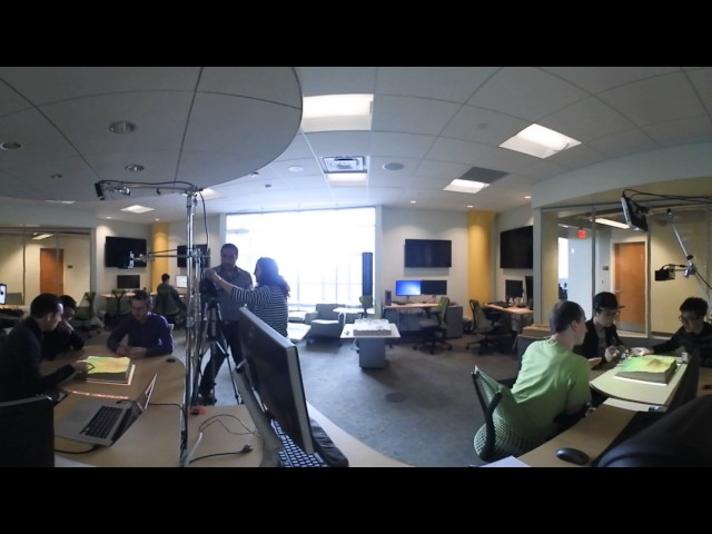
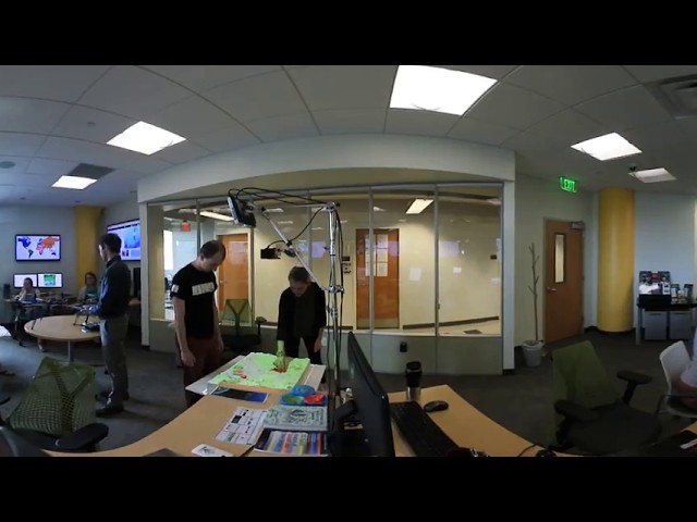
The Geovisualization Lab is the Center for Geospatial Analytics' flagship, state-of-the-art research space. Here, researchers can ...
493 views
Near of the Mount Chauve's Mountain peak at Nice. The google play's link : https://play.google.com/store/apps/details?id=com ...
102 views
1 view
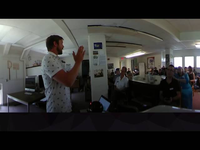
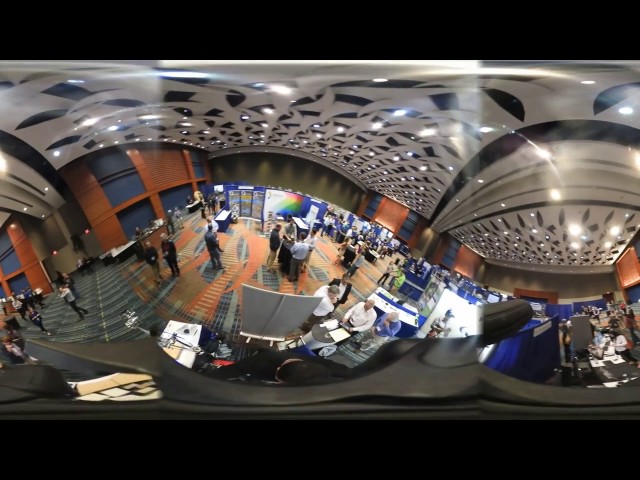
NC State's Center for Geospatial Analytics (CGA) exhibition at NCGIS conference 2017.
19 views
79 views
6 years ago
109 views
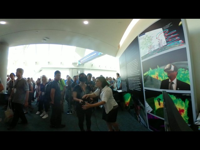
At the Map Gallery Opening Reception at the Esri User Conference, Navteca did demos of immersive Earth Science data showing ...
144 views
The Gairaut hill in Nice. The google play's link : https://play.google.com/store/apps/details?id=com.tutorielgeo.mobileapps ...
95 views
The example of the application of ATLAS-VR. VR-capable real time Earth simulation system, based on HD Earth surface data.
906 views
7 years ago
Tangible teaching study conducted by Geo for all lab and Landscape Architecture department at College of Design, NC State.
111 views
Real-time object-space stereo 360 equirectangular projection in OpenGL - accomplished using tessellation and geometry ...
84 views
5 years ago
The Generative Design Lab at MxD enables manufacturers to begin making every part better than the last. Using all that Fusion ...
2,262 views
Wear your RV googles and welcome to the green library.
15 views
295 views
10 years ago


![Surveying with 360 Camera [DevDroneMapper]](/api/proxy/image?url=https%3A%2F%2Fi.ytimg.com%2Fvi%2FlDwdi8RJNuQ%2Fsddefault.jpg)