Upload date
All time
Last hour
Today
This week
This month
This year
Type
All
Video
Channel
Playlist
Movie
Duration
Short (< 4 minutes)
Medium (4-20 minutes)
Long (> 20 minutes)
Sort by
Relevance
Rating
View count
Features
HD
Subtitles/CC
Creative Commons
3D
Live
4K
360°
VR180
HDR
90 results
145 views
4 years ago
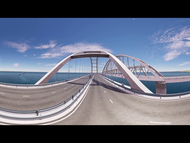
In this video, we take the DJI Inspire for a couple of test flights to gather 4K photos to use for a 3D geographic survey. Along for the ...
4,818 views
9 years ago
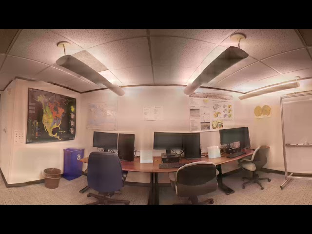
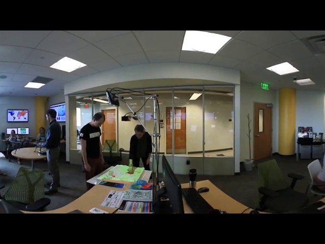
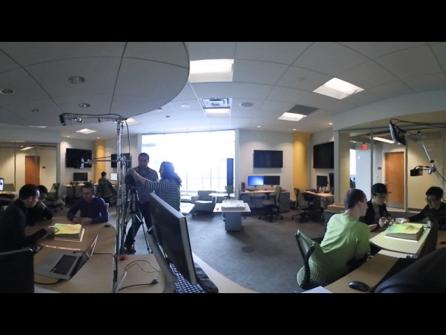
The Geovisualization Lab is the Center for Geospatial Analytics' flagship, state-of-the-art research space. Here, researchers can ...
493 views
8 years ago
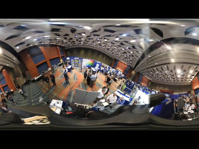
NC State's Center for Geospatial Analytics (CGA) exhibition at NCGIS conference 2017.
19 views
Tangible teaching study conducted by Geo for all lab and Landscape Architecture department at College of Design, NC State.
111 views
The example of the application of ATLAS-VR. VR-capable real time Earth simulation system, based on HD Earth surface data.
906 views
7 years ago
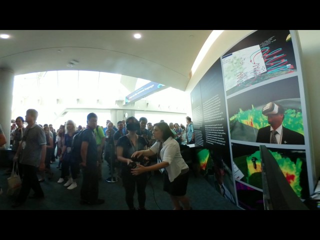
At the Map Gallery Opening Reception at the Esri User Conference, Navteca did demos of immersive Earth Science data showing ...
144 views
117 views
The Generative Design Lab at MxD enables manufacturers to begin making every part better than the last. Using all that Fusion ...
2,262 views
6 years ago
Real-time object-space stereo 360 equirectangular projection in OpenGL - accomplished using tessellation and geometry ...
84 views
5 years ago
In this 360° Video ( हिंदी ) : GEODETIC SURVEYING : ✷ Brief revision of whole geodetic surveying ✷ Assignment of ...
2,437 views
Deze video is de tweede van een virtuele belevingsvergelijking met betrekking tot verschillende inrichtings-scenario's in de ...
138 views
Patú Anú - Park Way - 360°
578 views
Testing Skybox with element 3D for 360 fly through of a city.
57 views
Deze Geomagine 360 graden 3D video toont een beleving van wateroverlast in de gemeente Arnhem. De video toont een ...
162 views
337 views
3 years ago
Geography is spatial analysis and interaction between spatial and society and her appropriation. Geomatic's users spend a lot ...
959 views
14 views
10 August 2017.
43 views
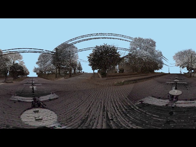
Off on a LiDAR scan of a disused quarry during the YellowScan Demo day over in Castries ... A clip from the take-off ... In #360 ...