Upload date
All time
Last hour
Today
This week
This month
This year
Type
All
Video
Channel
Playlist
Movie
Duration
Short (< 4 minutes)
Medium (4-20 minutes)
Long (> 20 minutes)
Sort by
Relevance
Rating
View count
Features
HD
Subtitles/CC
Creative Commons
3D
Live
4K
360°
VR180
HDR
12 results
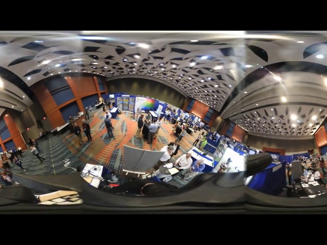
NC State's Center for Geospatial Analytics (CGA) exhibition at NCGIS conference 2017.
19 views
8 years ago
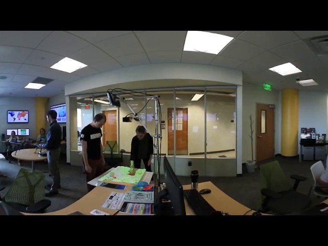
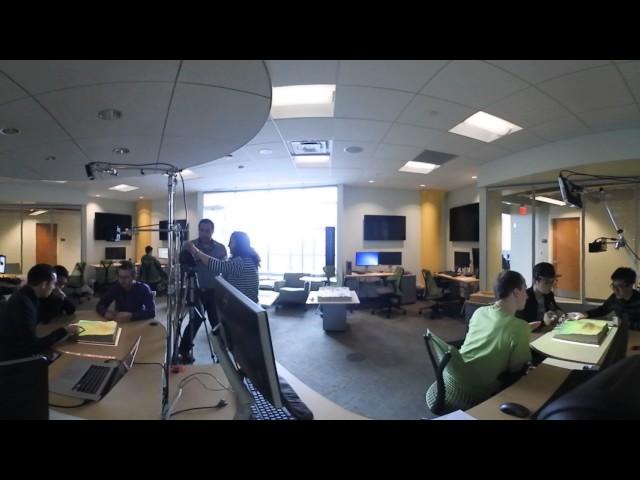
The Geovisualization Lab is the Center for Geospatial Analytics' flagship, state-of-the-art research space. Here, researchers can ...
493 views
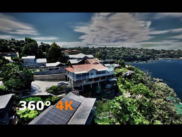
This is a 4K panoramic video rendered using unreal engine 5. The features you see in the video are reality meshes captured and ...
1,104 views
2 years ago
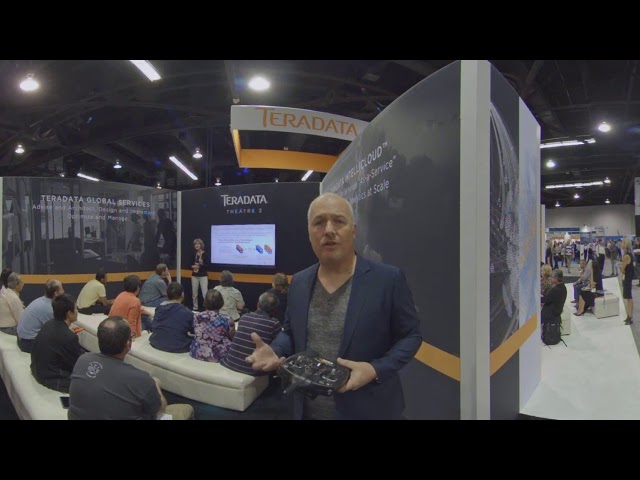
Oliver Ratzesberger takes a tour of the Teradata booth during Partners and talks about new technologies from Teradata.
393 views
... System- Definition of GIS, Key Components of GIS, Functions of GIS, Spatialdata, spatial information system Geospatial analysis ...
2,437 views
117 views
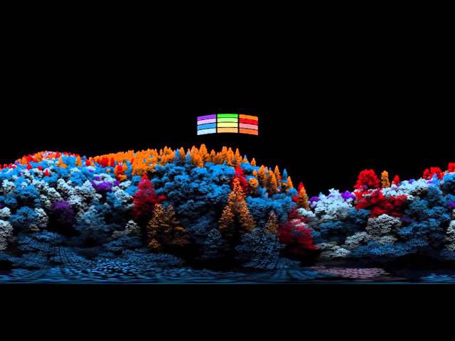
360 degree fly-through of 3D captured forest. Tree species have been derived through the exploitation of fused Hyperspectral ...
14,550 views
10 years ago
A 4K 360 VR video of the Esri 2023 User Conference Exhibit Hall, short walk. This exhibit hall walk-through was captured so that ...
469 views
Urban Geography students from CUNY College of Staten Island conduct urban ethnography through Virtual Reality (VR) to ...
69 views
6 years ago
A little side project I did for the geospatial analytical company SpaceKnow (https://spaceknow.com/). Originally a VR experience, ...
143 views
Tangible teaching study conducted by Geo for all lab and Landscape Architecture department at College of Design, NC State.
111 views
Join us in Brisbane as we introduce and explain our proprietary TruePath Tracking™ technology. The most accurate data ...
242 views