Upload date
All time
Last hour
Today
This week
This month
This year
Type
All
Video
Channel
Playlist
Movie
Duration
Short (< 4 minutes)
Medium (4-20 minutes)
Long (> 20 minutes)
Sort by
Relevance
Rating
View count
Features
HD
Subtitles/CC
Creative Commons
3D
Live
4K
360°
VR180
HDR
12 results
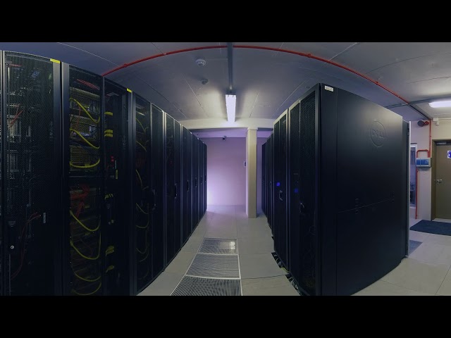
The National Integrated Cyberinfrastructure System (NICIS) is South Africa's facility for computation, high-speed networks, ...
265 views
5 years ago
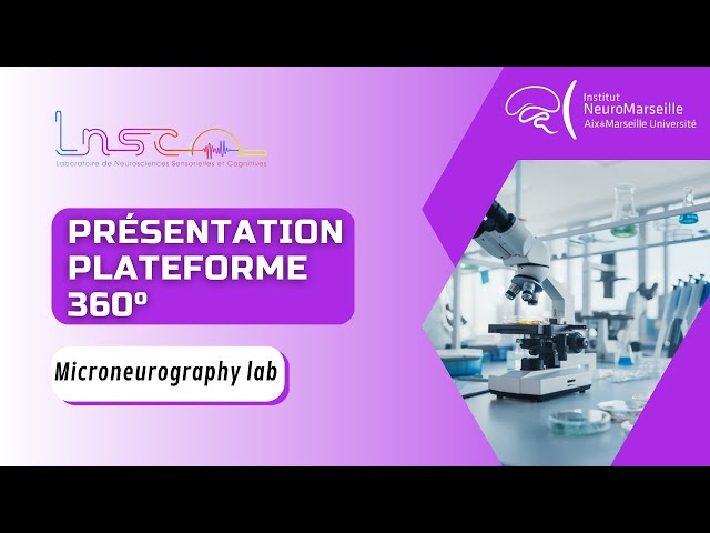
Sous titres disponibles : EN/FR | Rochelle Ackerley, chercheure CNRS, présente le laboratoire de microneurographie du ...
677 views
6 years ago
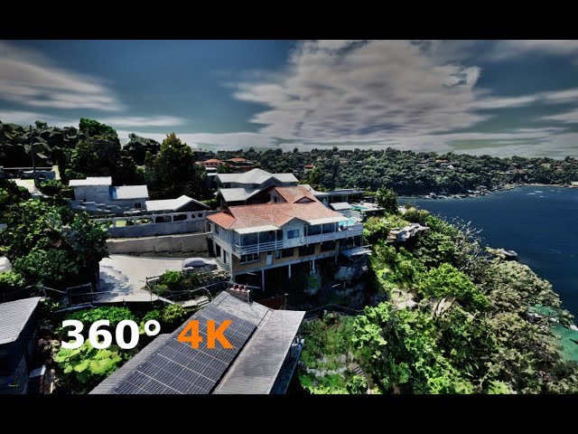
This is a 4K panoramic video rendered using unreal engine 5. The features you see in the video are reality meshes captured and ...
1,381 views
2 years ago
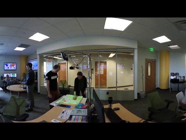
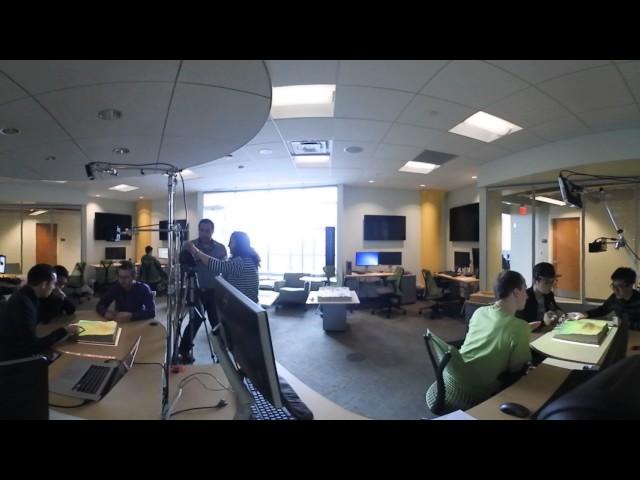
The Geovisualization Lab is the Center for Geospatial Analytics' flagship, state-of-the-art research space. Here, researchers can ...
493 views
8 years ago
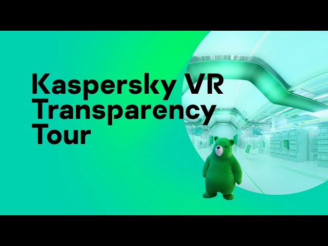
Experience #360 #VR #Kaspersky tour and explore how we work. #kasperskytour.
2,365 views
119 views
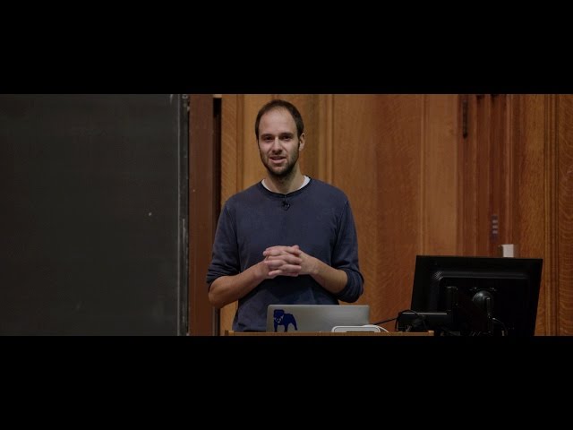
This is Week 7 of CS50 2016 in 360º stereoscopic VR, shot on Nokia OZO. For the 2D version of Week 7, see ...
10,339 views
9 years ago
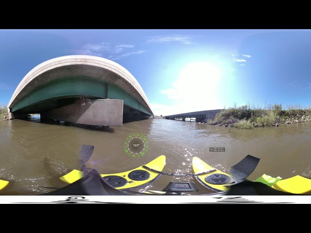
Foth Infrastructure's Geospatial Team is under contract to monitor flooding in SW Iowa around Interstate 29. The team used an ...
611 views
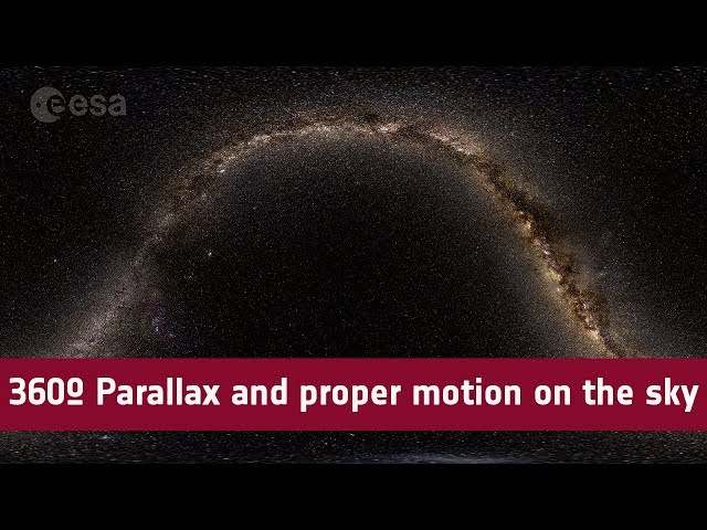
ESA/Gaia/DPAC, CC BY SA 3.0 IGO Acknowledgement: Gaia Data Processing and Analysis Consortium (DPAC); Gaia Sky; ...
114,077 views
7 years ago
... have demonstrations with Grass GIS, the tangible landscape system allows for 3-D sketching and sculpting of geospatial data.
173 views
Streamed 9 years ago
Tangible teaching study conducted by Geo for all lab and Landscape Architecture department at College of Design, NC State.
111 views
407 views