ViewTube

ViewTube
Sign inSign upSubscriptions
Filters

Upload date

Type

Duration

Sort by

Features

Reset

202 results

DMC Rice
GIS Data Center Virtual Tour
1:12
GIS Data Center Virtual Tour

143 views

4 years ago

Ian Muehlenhaus
Making Maps on the Internet, 360-Degree Video Presentation from the UW Cart Lab and GisWMP Program

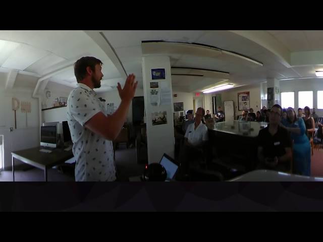
This is the future of online education. You may not live in Madison, but with 360-degree workshops from the UW Cart Lab, you are ...

16:45
Making Maps on the Internet, 360-Degree Video Presentation from the UW Cart Lab and GisWMP Program

503 views

9 years ago

NC State Center for Geospatial Analytics
Geovisualization Lab 360º virtual tour

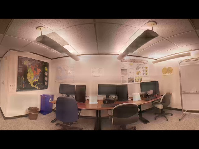
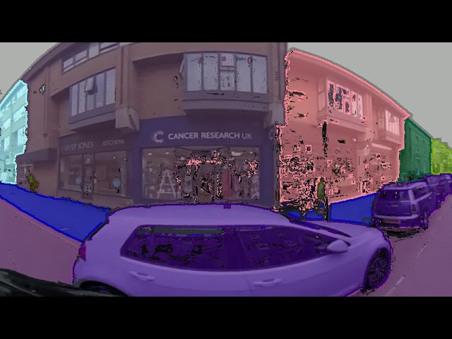
The Geovisualization Lab is the Center for Geospatial Analytics' flagship, state-of-the-art research space. Here, researchers can ...

0:18
Geovisualization Lab 360º virtual tour

493 views

8 years ago

Navteca
Esri User Conference #EsriUC VR Data Visualization Demos

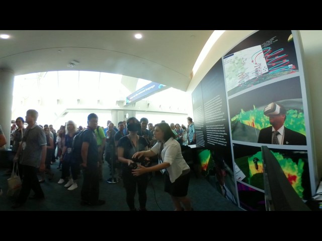
At the Map Gallery Opening Reception at the Esri User Conference, Navteca did demos of immersive Earth Science data showing ...

0:45
Esri User Conference #EsriUC VR Data Visualization Demos

143 views

8 years ago

IBudvytis
Semantic Localisation via Globally Unique Instance Segmentation (panoramic video)

In this work [1] we propose a novel approach to semantic localisation. Our work is motivated by the need for environment ...

3:47
Semantic Localisation via Globally Unique Instance Segmentation (panoramic video)

500 views

7 years ago

LASTRO_EPFL
The eBOSS 3D map of the Universe (360 stereo VR)

Click the link below to see the 2D version of this video: https://youtu.be/KJJXbcf8kxA Click the link below to see the 360 version of ...

4:41
The eBOSS 3D map of the Universe (360 stereo VR)

8,019 views

5 years ago

Thomas Marrinan
Stereo 360 Point Cloud Rendering

Real-time object-space stereo 360 equirectangular projection in OpenGL - accomplished using tessellation and geometry ...

0:35
Stereo 360 Point Cloud Rendering

83 views

5 years ago

Thomas Marrinan
Stereo 360 Point Cloud Rendering (pupillary distance‎ units: feet)

Real-time object-space stereo 360 equirectangular projection in OpenGL - accomplished using tessellation and geometry ...

0:27
Stereo 360 Point Cloud Rendering (pupillary distance‎ units: feet)

64 views

5 years ago

Sensium
Sensium - TruePath Tracking The World's Most Advanced Vehicle Data Collection

Join us in Brisbane as we introduce and explain our proprietary TruePath Tracking™ technology. The most accurate data ...

3:41
Sensium - TruePath Tracking The World's Most Advanced Vehicle Data Collection

241 views

6 years ago

TamTam Digital School
07 What is a User Story Map
5:57
07 What is a User Story Map

2 views

9 months ago

CS50
CS50 VR 2016 - Week 10 - JavaScript

This is Week 10 of CS50 2016 in 360º stereoscopic VR, shot on Nokia OZO. For the 2D version of Week 10, see ...

1:42:20
CS50 VR 2016 - Week 10 - JavaScript

2,374 views

8 years ago

Finance PEI
Atlantic Technology Centre - Virtual Tour Sample - 360 Video

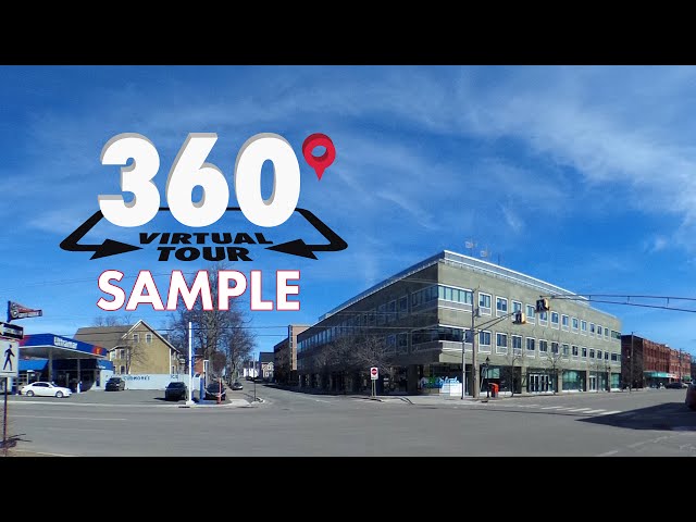
View the Full ATC Virtual Tour 360 Video Here: https://youtu.be/G7w9WsQKAOU View Our Entire 360 Video Playlist ...

0:35
Atlantic Technology Centre - Virtual Tour Sample - 360 Video

473 views

9 years ago

Det Tekniske Fakultet for IT og Design, AAU
Indoor 3D scan

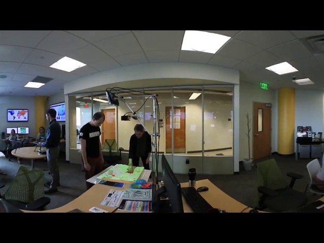
Linas Paskauskas is studying Geoinformatics at Aalborg University Copenhagen. He is creating an indoor 3D scan of a building ...

2:45
Indoor 3D scan

227 views

7 years ago

Microsoft Education
Flipgrid | BETT-venture in 360°

Glad you decided to take the BETT-venture! Take a look around! Flipgrid is the leading video discussion platform for millions of ...

0:49
Flipgrid | BETT-venture in 360°

272 views

7 years ago

Manta
The Future of Data Lineage: MANTA Virtual Reality Project

3D DATA LINEAGE VIDEO WE COULDN'T SHOW YOU We're excited to show you our latest experiment that explores the future ...

1:18
The Future of Data Lineage: MANTA Virtual Reality Project

778 views

4 years ago

STEM VRCE
STEM VRCE Module 1 - Geographic Information Systems (GIS)

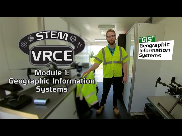
For more information about STEM VRCE, visit go.rowan.edu/stemvrce STEM VRCE Module 1 360/VR Experience: Geographic ...

7:16
STEM VRCE Module 1 - Geographic Information Systems (GIS)

34 views

1 year ago

Eric Neuman
Review: Placenote Persistent AR for ARKit on iOS

ARKit and ARCore both provide high-level mechanisms for mounting virtual 3d objects in physical space, but neither of them ...

1:33
Review: Placenote Persistent AR for ARKit on iOS

892 views

8 years ago

Locus Technologies
Mobile field data collection with Locus software
1:40
Mobile field data collection with Locus software

107 views

8 years ago

Locus Technologies
Intro to Locus EIM: Environmental Data Management Software

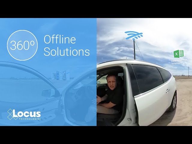
Watch Sean Sandborgh and Wes Hawthorne of Locus Technologies discuss the powerful and innovative features of Locus EIM.

1:59
Intro to Locus EIM: Environmental Data Management Software

256 views

8 years ago

Yoshikage Kira
Fusion 360: a dataset and environment for programmatic CAD construction from human design sequences

Karl D. D. Willis, Yewen Pu, Jieliang Luo, Hang Chu, Tao Du, Joseph G. Lambourne, Armando Solar-Lezama, Wojciech Matusik ...

2:21
Fusion 360: a dataset and environment for programmatic CAD construction from human design sequences

142 views

4 years ago