Upload date
All time
Last hour
Today
This week
This month
This year
Type
All
Video
Channel
Playlist
Movie
Duration
Short (< 4 minutes)
Medium (4-20 minutes)
Long (> 20 minutes)
Sort by
Relevance
Rating
View count
Features
HD
Subtitles/CC
Creative Commons
3D
Live
4K
360°
VR180
HDR
47 results
147 views
4 years ago
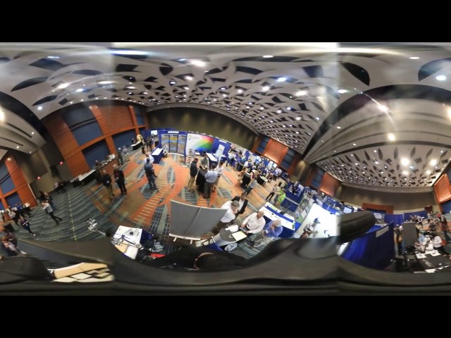
NC State's Center for Geospatial Analytics (CGA) exhibition at NCGIS conference 2017.
19 views
9 years ago
... and analysis of geospatial data primarily derived from drones and remote sensing. We specialise in photogrammetry and reality ...
1,291 views
2 years ago
From a beginner to pro Saturday sessions.
29 views
Streamed 7 months ago
360 Panoramic video exported directly from Arena4D Data Studio featuring Leica P40 data.
1,047 views
8 years ago
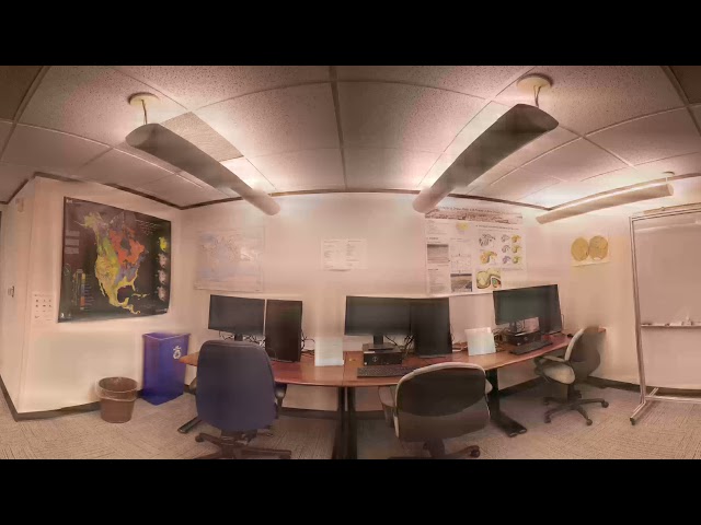
The Geovisualization Lab is the Center for Geospatial Analytics' flagship, state-of-the-art research space. Here, researchers can ...
493 views
INTERGEOTV is off to a great start! Take a look at what's going on at the NavVis booth as if you are here. Decked out with demo ...
852 views
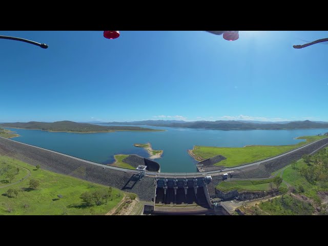
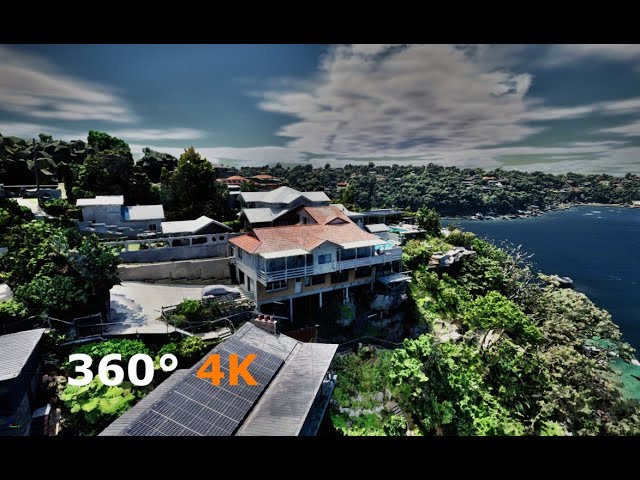
Utilising riche satellite imagery, geospatial data and 360-drone videography, the experience was offered to Brisbane residents ...
61 views
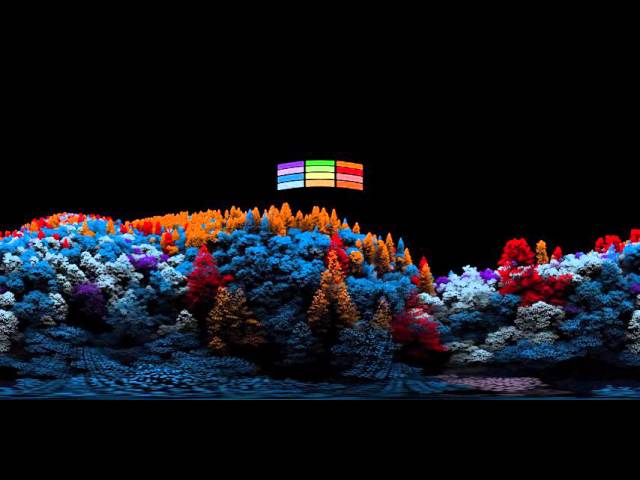
360 degree fly-through of 3D captured forest. Tree species have been derived through the exploitation of fused Hyperspectral ...
14,560 views
10 years ago
117 views
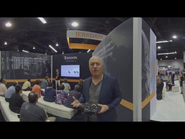
Oliver Ratzesberger takes a tour of the Teradata booth during Partners and talks about new technologies from Teradata.
393 views
[WATCH IN 4K] to explore one of the most beautiful cities in the world! This 360 video will take you on a virtual tour of Prague, ...
472 views
Foth Infrastructure's Geospatial Team is under contract to monitor flooding in SW Iowa around Interstate 29. The team used an ...
609 views
6 years ago
74 views
Take a tour of this 360° interactive video that allows you to view the scene as if from within the car. Shot with the Mosaic Viking ...
2,097 views
3 years ago
119 views
Climate change - changes in weather, water availability, plant disease occurrence, and crop regional adaptation patterns ...
97 views
Streamed 2 years ago
Kedves Pályaválasztás előtt álló Fiatalok! A kialakult járványhelyzetre való tekintettel készítettünk nektek egy 360°-os virtuális ...
594 views
5 years ago
A part of my thesis project Mixed Reality Collaboration where user can choose point of interest and path will be generated and ...
69 views
37 views
Quick test of monoscopic VR 4K footage.
165 views
58 views
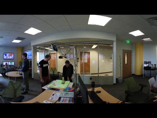
GEG 260 Urban Geography: Workshop on Virtual Reality Urban Sensing CUNY College of Staten Island.
66 views
Download this mp4 at 4k x 2k: http://michaelallar.com/RTC_LeftEye.mp4 Download the right eye of this mp4 at 4x x 2k: ...
43,586 views
59 views


![Highest Resolution 360° video of Prague [by mobile mapping camera Mosaic Viking] WATCH IN 4K](/api/proxy/image?url=https%3A%2F%2Fi.ytimg.com%2Fvi%2Fuqelz5sb5cM%2Fsddefault.jpg)

![180MP / 360° interactive video shot with a 360° mobile mapping camera in Kutna Hora [watch in 4K]](/api/proxy/image?url=https%3A%2F%2Fi.ytimg.com%2Fvi%2F0RqYasUjyJk%2Fsddefault.jpg)


![360°-ban a Földrajz-Geoinformatika körül [Földrajz Alapszak]](/api/proxy/image?url=https%3A%2F%2Fi.ytimg.com%2Fvi%2FbTVAmYaL9yU%2Fsddefault.jpg)