Upload date
All time
Last hour
Today
This week
This month
This year
Type
All
Video
Channel
Playlist
Movie
Duration
Short (< 4 minutes)
Medium (4-20 minutes)
Long (> 20 minutes)
Sort by
Relevance
Rating
View count
Features
HD
Subtitles/CC
Creative Commons
3D
Live
4K
360°
VR180
HDR
16 results
QGIS - issues with Geometry Generator Hey guys! Hopefully you found a solution that helped you! The Content is licensed under ...
0 views
4 days ago
Filter Upper Case Letters and Lower Case Letters Hey guys! Hopefully you found a solution that helped you! The Content is ...
5 days ago
Exporting aliases I/O names from vector layer attributes to GeoPackage using PyQGIS Hey guys! Hopefully you found a solution ...
QGIS expression equivalent to SetNull function in ArcGIS I hope you found a solution that worked for you :) The Content is ...
6 days ago
Enterprise-ready QGIS collaboration across teams with the NextGIS Platform. NextGIS Web now supports vector layer versioning, ...
46 views
1 day ago
This video reviews the AI Segmentation by TerraLab plugin. The plugin uses Meta's Segment Anything Model to segment ...
845 views
Styling lines layer if it intersects polygon layer in QGIS Hey guys! Hopefully you found a solution that helped you! The Content is ...
Leaflet draw - input-based circlemarker radius Hey guys! Hopefully you found a solution that helped you! The Content is licensed ...
tutor aja.
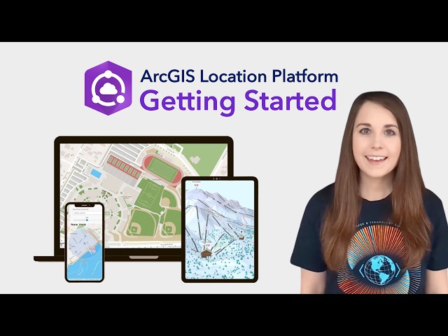
Welcome to ArcGIS Location Platform! We're thrilled to introduce you to a powerful tool that will revolutionize the way you ...
59 views
13 hours ago
Descarga la data aquí https://drive.google.com/drive/folders/1RbFPIDCT7Eqg-z6gQemmQMEibpSRGGSM?usp=sharing Este ...
172 views
XRI Design Speaker Series "Volumetric Video Capture" with Francesca Albrezzi Thursday, January 29, 2026 2:00-3:00pm PT The ...
19 views
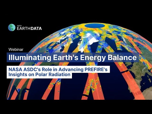
In this webinar, speakers from NASA's Atmospheric Science Data Center (ASDC) and the Polar Radiant Energy in the ...
43 views
Aprende AutoCAD desde cero! En este video, revivirás el taller práctico y gratuito donde enseñamos los comandos básicos para ...
138 views
For those of you who need spatial data in Shapefile (.shp) format but are limited by a laptop or heavy GIS software, this ...
4 views
Clip polygons to retain only top polygon in areas of overlap using QGIS Hey guys! Hopefully you found a solution that helped you!
2 days ago