Upload date
All time
Last hour
Today
This week
This month
This year
Type
All
Video
Channel
Playlist
Movie
Duration
Short (< 4 minutes)
Medium (4-20 minutes)
Long (> 20 minutes)
Sort by
Relevance
Rating
View count
Features
HD
Subtitles/CC
Creative Commons
3D
Live
4K
360°
VR180
HDR
65,560 results
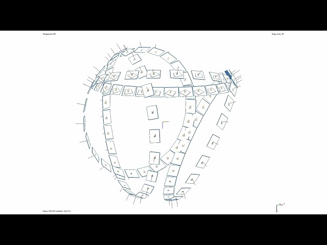
Basic outline of how to acquire data for the purpose of digitising small (geological) samples using Structure from Motion ...
43 views
3 years ago
This tutorial fallows the steps to make a translation and rotation of ground points with some control points. The translation/rotation ...
788 views
11 years ago
To navigate adequately in VisionLidar, a mouse with 3 buttons is preferable; left, right buttons and a mouse wheel. To begin, open ...
1,298 views
8 years ago
See how VisionLidar, point cloud software and Deep Learning technologies can help you work smarter. Here at Geo-Plus we've ...
148,552 views
5 years ago
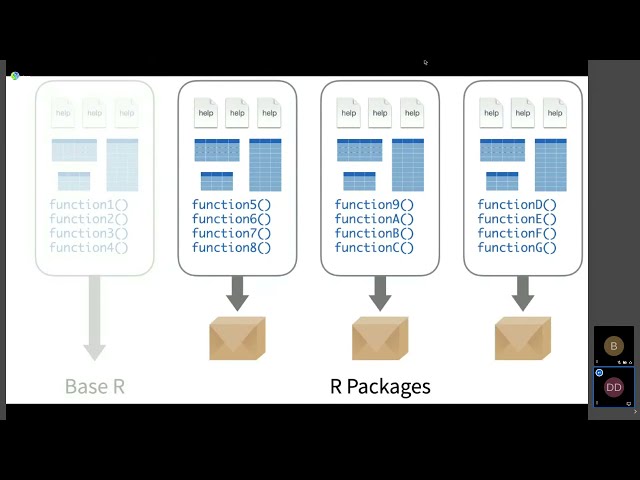
Dewey Dunnington Regardless of which programmiing language is your favourite, the R language for statistical computing is here ...
805 views
Streamed 4 years ago
hello there, in this lesson, we will use geopandas and matplotlib to plot a geographic map from a CSV file with longitude and ...
64,832 views
VisionLidar 2.0 processes billions of LiDAR points more than 10x faster — and uses 10x less GPU memory — than the legacy ...
134 views
6 days ago
Experience the Precision of VisionLidar! Witness the seamless journey from raw data to automated classification, cluster detection ...
9,854 views
2 years ago
Little YouTube short explaining every single special block or letter block and what it does in Geometry Dash 2.2! Hope you ...
428,930 views
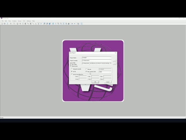
To begin, open up VisionLidar. The start-up screen will appear. To begin working with the software, the user may create a new ...
1,982 views
Join this channel to get access to CRAZY perks for just $0.03 a day! What a deal! Click here: ...
975,821 views
1 year ago
Scholars GeoPortal is a tool that lets you find, access, and analyze geospatial datasets and maps. This video will show you how to ...
2,854 views
7 years ago
Read, create, and modify geospatial shapefiles (vector data) with OSGeo in Python and materials provided at ...
400 views
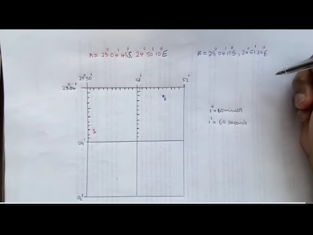
Geography mapwork: How to find a latitude and longitude coordinates Like and share to student geographers. Kindly Subscribe to ...
134,467 views
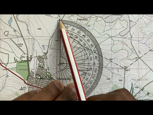
Using a topographic map 1: 50 000 to find a True bearing between two trig beacons and then calculating the magnetic bearing of ...
670,627 views
This video was created as part of an Erasmus + project. It was originally going to be in-person training but due to COVID-19 the ...
15 views
Block H of the Geographic Data Science course - "Points" More materials related to the content in this video are available at: ...
419 views
4 years ago
Tutorial on reorienting a point cloud using ground control points (GCPs) in CloudCompare.
21,908 views
9 years ago
Unit of Scale।Scale unit।scale।Geo Tutorial Point।Geography practical।Linear।Comparative।Diagonal। #Unit of Scale ...
170 views
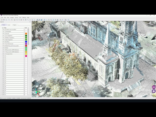
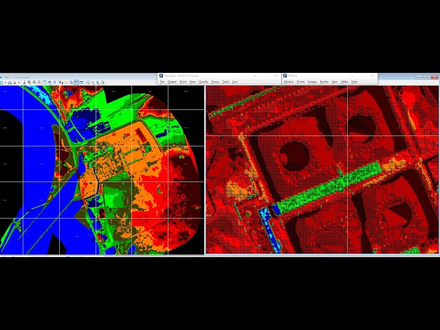
photogrammetric mapping survey Point cloud, DTM, orthophoto and as-built CAD drawing. Geomatics engineering Classification ...
776 views