Upload date
All time
Last hour
Today
This week
This month
This year
Type
All
Video
Channel
Playlist
Movie
Duration
Short (< 4 minutes)
Medium (4-20 minutes)
Long (> 20 minutes)
Sort by
Relevance
Rating
View count
Features
HD
Subtitles/CC
Creative Commons
3D
Live
4K
360°
VR180
HDR
11,168,703 results
By watching this video you can lern How to set Geolocation in Autocad topogrphy sheet,how can you compare Actual Land ...
113,185 views
10 years ago
If you haven't heard of it, GeoGuessr is basically competitive Google Maps. Participants try to guess where they are on the planet ...
5,357,799 views
3 years ago
shorts Learn the basics of distribute points on faces using geometry nodes.
9,105 views
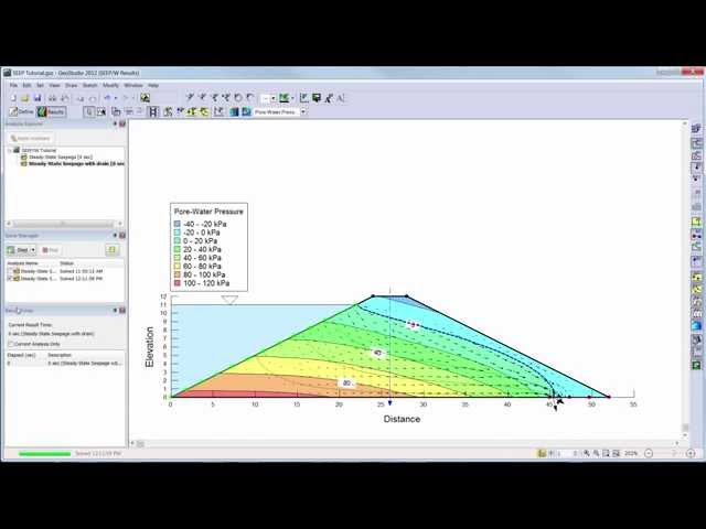
Learn the basics of SEEP/W 2012 with this introductory video.
185,322 views
11 years ago
In this video, you will learn how to add a high-resolution image from Google Earth to AutoCAD, and how to georeference the ...
272,613 views
5 years ago
Blender tutorial showing how to use Geometry Nodes to create sugar coated candy. Part 2: https://youtu.be/V10GBrmYIDM 0:00 ...
927,584 views
In this video, you will learn how to plot a simple dataset which consists of longitude and latitude coordinates on a map using ...
133,271 views
4 years ago
Explore practical geospatial and GIS skills with courses and resources from GeoDelta Labs: https://www.geodeltalabs.com ...
1,969,226 views
LIGHT! Let's talk about it today. Sunlight, moonlight, torchlight, and flashlight. They all come from different places, but they're the ...
1,023,101 views
9 years ago
This tutorial guides new users through the basics of creating a simple stability analysis in SLOPE/W.
176,344 views
8 years ago
Learn how to carry out a complete land survey using just your phone! No expensive tools. No total station. Just your mobile and ...
2,523 views
5 months ago
Learn More at mathantics.com Visit http://www.mathantics.com for more Free math videos and additional subscription based ...
2,581,520 views
12 years ago
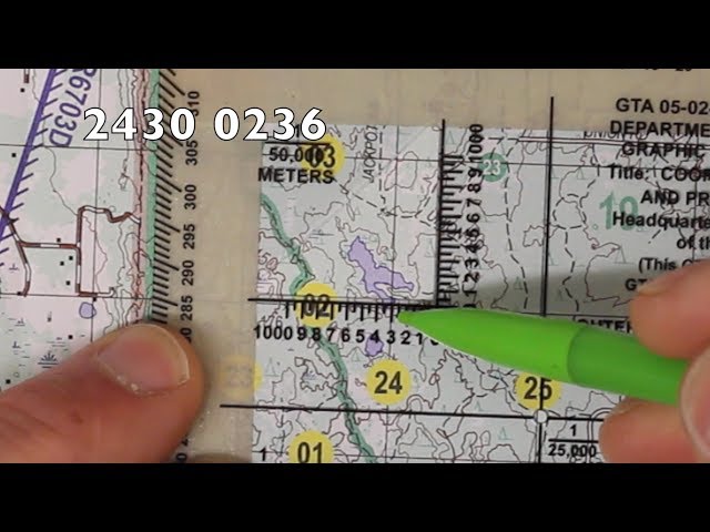
In this video, I'll walk you through how to plot an eight-digit grid coordinate on a topographical map. I'll be using a military map, ...
355,836 views
6 years ago
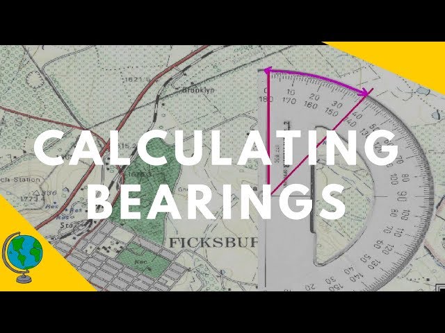
In this video we examine how to use a protractor to calculate the bearing of two points on an OS map. I explain how to use north ...
282,269 views
Join us for a livestream unveiling version 5.0 of ArcGIS Maps SDK for JavaScript! Get a first look at game-changing AI components ...
602 views
Streamed 11 hours ago
Ready to go beyond tutorials and learn QGIS properly? Explore the *QGIS Masterclass* with structured lessons and practical ...
487,955 views
This video takes a look at quick, easy methods for locating coordinates on a map using latitude and longitude. Note: There should ...
145,262 views
7 years ago
See how to use latitude and Longitude to find a location on a 2d map.
251,181 views
latitude #longitude THIS VIDEO EXPLAINS ABOUT LATITUDE AND LONGITUDE. IT ALSO EXPLAINS THE GRID SYSTEM USED ...
278,390 views
geographybasics #geogbasics #geography In today's video I am going to show you the basics of creating and reading 4 and 6 ...
250,229 views