Upload date
All time
Last hour
Today
This week
This month
This year
Type
All
Video
Channel
Playlist
Movie
Duration
Short (< 4 minutes)
Medium (4-20 minutes)
Long (> 20 minutes)
Sort by
Relevance
Rating
View count
Features
HD
Subtitles/CC
Creative Commons
3D
Live
4K
360°
VR180
HDR
230,307 results
Learn a powerful GIS map hack in just one minute! In this episode of 1-Minute Map Hacks, you'll discover how to save places as ...
30 views
3 months ago
Learn a powerful GIS map hack in just one minute! In this episode of 1-Minute Map Hacks, you'll discover how to clip map data to ...
33 views
This ArcGIS Pro Tutorial is your Complete GIS Tutorial – 37 lessons in one awesome video! Whether you're starting with ArcGIS ...
67,994 views
10 months ago
Learn a powerful GIS map hack in just one minute! In this episode of 1-Minute Map Hacks, you'll discover how to access open ...
22 views
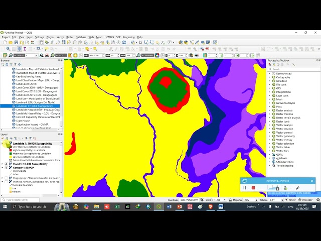
Creating Map (shape fille) by Digitizing from Google Earth in Arc GIS in Amharic. Google Earth Digitization convert KML file to ...
425 views
5 months ago
Learn how to create contour lines from terrain data in this beginner-friendly GIS tutorial! We'll guide you step-by-step through ...
482 views
8 months ago
SAGA GIS, contour lines, DEM, digital elevation model, geographic information system, GIS tutorial, terrain analysis, mapping ...
247 views
6 months ago
What is GIS? In this beginner-friendly video, I explain what a Geographic Information System (GIS) is, how it works, and why it's ...
2,242 views
9 months ago
Learn a powerful GIS map hack in just one minute! In this episode of 1-Minute Map Hacks, you'll discover how to draw features ...
39 views
Welcome to SpatialNnachi! In this first episode of our Intro to GIS using ArcGIS series, we break down what Geographic ...
268 views
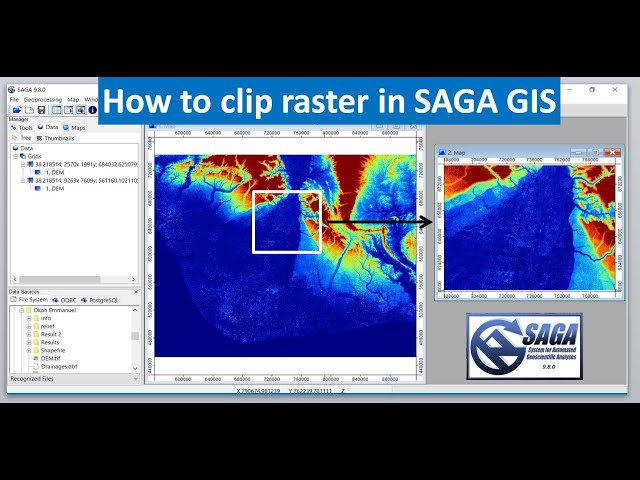
Buy me a coffee: https://buymeacoffee.com/geojay SAGA GIS, clip raster, GIS tutorial, geographic information system, raster ...
273 views
Learn a powerful GIS map hack in just one minute! In this episode of 1-Minute Map Hacks, you'll discover how to use basic vector ...
12 views
... SHARE & SUBSCRIBE for more GIS tutorials! #MAPOG #LandParcelMapping #GIS #UrbanPlanning #PropertyAssessment ...
385 views
11 months ago
In this tutorial, we will show you (and give you the code) how to calculate the urban heat island for any city in the world ! Get the ...
248 views
For many GIS professionals, SQL and databases can feel intimidating. They seem like tools for data engineers, not map makers.
9,852 views
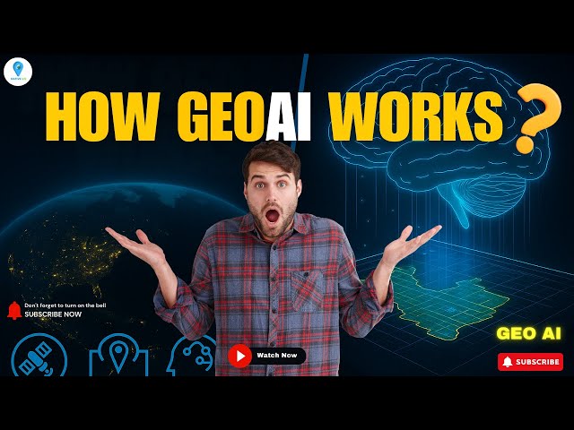
How does GeoAI actually work? In this video, we break down the fascinating workflow behind GeoAI (Geospatial Artificial ...
5,404 views
Buy me a coffee: https://buymeacoffee.com/geojay GRASS GIS, database creation, GIS tutorial, geographic information system, ...
243 views
Unlock the power of free geospatial data for your GIS projects! In this tutorial, you'll learn how to access secondary data ...
612 views
QGIS #GIS Tutorial #RemoteSensing #Georeferencing #MapMaking #SpatialAnalysis #WorldMap #EducationalVideo In this ...
14 views


![What is GIS? | Beginner-Friendly Explanation [2025]](/api/proxy/image?url=https%3A%2F%2Fi.ytimg.com%2Fvi%2FfiIovJSBrVI%2Fsddefault.jpg)