Upload date
All time
Last hour
Today
This week
This month
This year
Type
All
Video
Channel
Playlist
Movie
Duration
Short (< 4 minutes)
Medium (4-20 minutes)
Long (> 20 minutes)
Sort by
Relevance
Rating
View count
Features
HD
Subtitles/CC
Creative Commons
3D
Live
4K
360°
VR180
HDR
11,443,934 results
3.73M subscribers
2.29K subscribers
By watching this video you can lern How to set Geolocation in Autocad topogrphy sheet,how can you compare Actual Land ...
112,832 views
10 years ago
SEO is evolving! Learn all about Generative Engine Optimization, and how to get your content quoted by AI ...
49,789 views
8 months ago
FREE: The Modern GIS Skill Map The 5 skills that actually matter in modern GIS (and what you can stop learning). Based on a ...
80,922 views
1 year ago
shorts Learn the basics of distribute points on faces using geometry nodes.
9,029 views
3 years ago
564,983 views
2 years ago
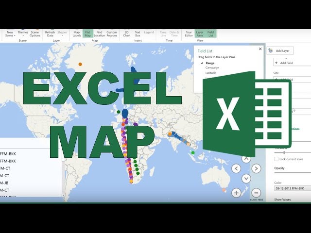
How to use excel 3D Map to make a 2D map. In this video I plot on a map the longitude and latitude locations of places air ...
281,011 views
8 years ago
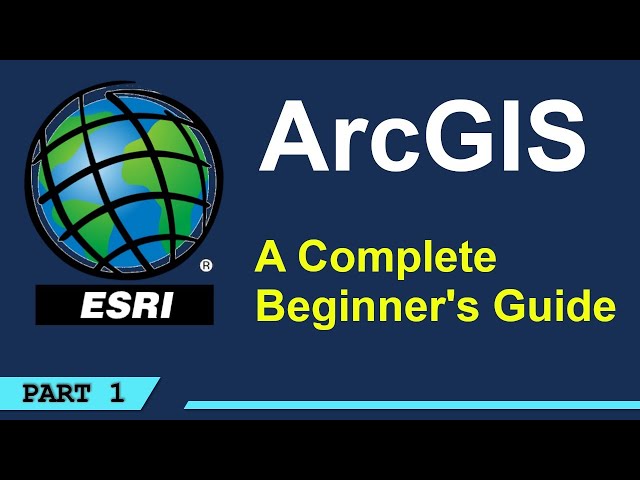
A beginner's tutorial on how to use GIS. No experience is needed to follow along with this tutorial. You will learn how to add data ...
131,591 views
5 years ago
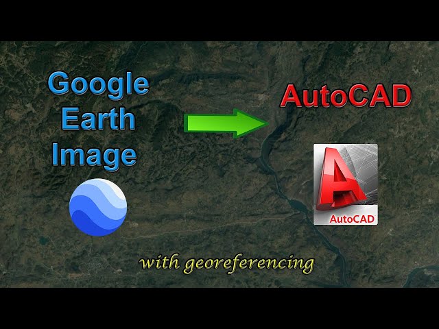
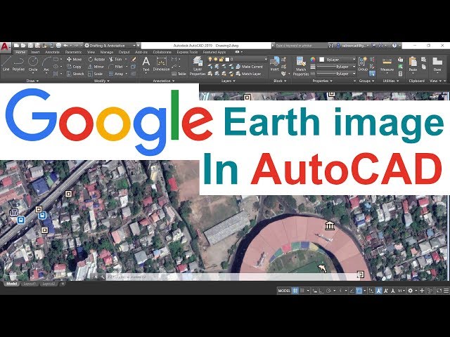
INSERTING GOOGLE EARTH IMAGE TO AUTOCAD - This Tutorial video teaches the procedure to Insert a Google Earth image to ...
1,357,374 views
7 years ago
exceltutorial #3dmaps #excel.
34,586 views
Learn Excel in just 2 hours: https://kevinstratvert.thinkific.com In this step-by-step tutorial, learn how to take data and transform it ...
355,406 views
4 years ago
New to ArcGIS Pro? Making the transition from ArcMap? I've got you covered in your first day with ArcGIS Pro by showing you the ...
52,581 views
In this Video, I will demonstrate how to add a google earth image into AutoCAD using your project coordinate system. There was ...
427,298 views
9 years ago
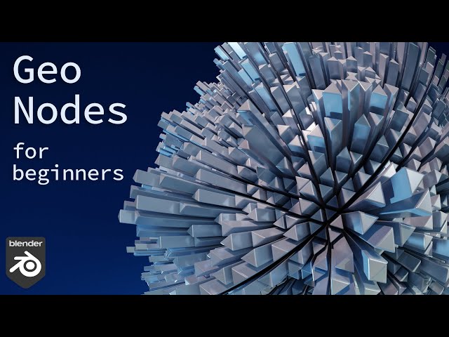
Cover Page File: https://ko-fi.com/s/6016a6af74 I know for a UV Sphere you don't need such a complicate setup. but Face Tangent ...
40,175 views
This tutorial helps you to add XY coordinates from Excel file or excel data directly on QGIS layer as well as in shape file.
29,520 views
The second video about instances: https://youtu.be/JvbppmT0ILY Beginner videos: ...
281,936 views
In this video, you will learn how to add a high-resolution image from Google Earth to AutoCAD, and how to georeference the ...
271,352 views
Explore practical geospatial and GIS skills with courses and resources from GeoDelta Labs: https://www.geodeltalabs.com ...
1,965,784 views
conquest #countries #greenland #strength #strategy #continent #power #demographics #maps #geographynow #CountryBalls ...
790,719 views
In this video, you will learn how to plot a simple dataset which consists of longitude and latitude coordinates on a map using ...
132,933 views
I'm introducing my comprehensive course, in which I'll guide you step-by-step through the details of using GEO Layers: ...
797,814 views
I'll edit your college essay! https://nextadmit.com.
4,797,194 views
268 subscribers
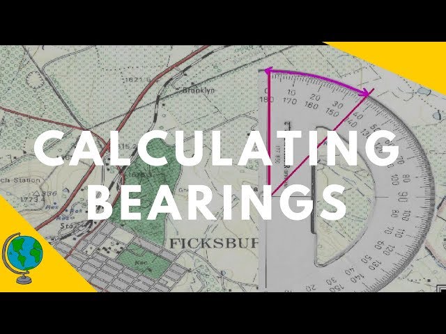
In this video we examine how to use a protractor to calculate the bearing of two points on an OS map. I explain how to use north ...
281,999 views
Rivers become curvier and curvier until they bump into themselves. Then, lakes follow the route of least resistance and connect to ...
45,940,925 views
Learn how to carry out a complete land survey using just your phone! No expensive tools. No total station. Just your mobile and ...
2,279 views
5 months ago


![[Tut] Instance on Face with Rotation and Scale - Blender Geometry Nodes 3.4](/api/proxy/image?url=https%3A%2F%2Fi.ytimg.com%2Fvi%2FFl-igAAMCeM%2Fsddefault.jpg)