Upload date
All time
Last hour
Today
This week
This month
This year
Type
All
Video
Channel
Playlist
Movie
Duration
Short (< 4 minutes)
Medium (4-20 minutes)
Long (> 20 minutes)
Sort by
Relevance
Rating
View count
Features
HD
Subtitles/CC
Creative Commons
3D
Live
4K
360°
VR180
HDR
11,415,464 results
2.29K subscribers
3.73M subscribers
567 subscribers
977 subscribers
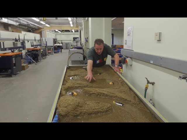
By watching this video you can lern How to set Geolocation in Autocad topogrphy sheet,how can you compare Actual Land ...
112,994 views
10 years ago
SEO is evolving! Learn all about Generative Engine Optimization, and how to get your content quoted by AI ...
50,422 views
8 months ago
Greece is not just a holiday destination — it is one of the most strategically positioned countries on Earth. From controlling key ...
33,370 views
5 days ago
From cliffside death traps to rail lines hanging above oceans, this video takes you deep into the world's most terrifying routes.
7,346 views
17 hours ago
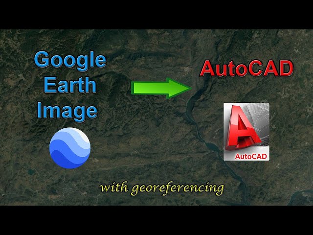
INSERTING GOOGLE EARTH IMAGE TO AUTOCAD - This Tutorial video teaches the procedure to Insert a Google Earth image to ...
1,357,554 views
7 years ago
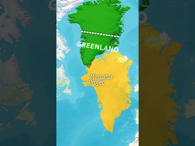
Sure, Greenland looks massive on the map — but it's hiding a secret under all that ice. In this video, we'll uncover the real reason ...
3,097,437 views
5 months ago
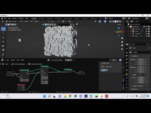
Cover Page File: https://ko-fi.com/s/6016a6af74 I know for a UV Sphere you don't need such a complicate setup. but Face Tangent ...
40,228 views
3 years ago
Discover how water shapes our planet in this eye-opening video! See the powerful impact of river erosion and why it matters for ...
2,982,763 views
6 years ago
exceltutorial #3dmaps #excel.
34,665 views
Follow and Wishlist our game on Steam https://store.steampowered.com/app/3606970/Brass_Rain/ The MiG-21 was the world's ...
4,577,369 views
ID: 78678920 ▽Join the Channel for exclusive Lenny emojis and badges!
3,249,816 views
4 years ago
So you've seen those location-tagging numbers on maps and GPS devices before, but do you actually know what they mean?
861,377 views
9 years ago
3.19K subscribers
shorts Learn the basics of distribute points on faces using geometry nodes.
9,067 views
268 subscribers
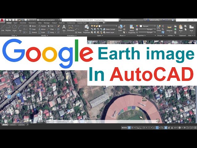
In this video, you will learn how to add a high-resolution image from Google Earth to AutoCAD, and how to georeference the ...
271,929 views
5 years ago
12.2K subscribers
How to draw World Map so fast #shorts #viral #world #ytshorts #trending all content which use in my video is fair use under ...
1,061,234 views
Rivers become curvier and curvier until they bump into themselves. Then, lakes follow the route of least resistance and connect to ...
45,946,905 views
FREE: The Modern GIS Skill Map The 5 skills that actually matter in modern GIS (and what you can stop learning). Based on a ...
568,672 views
2 years ago
conquest #countries #greenland #strength #strategy #continent #power #demographics #maps #geographynow #CountryBalls ...
793,038 views
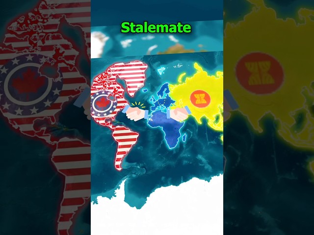
Continents #strongestContinent #european #EuropeanCountries #Asia #AsiavsEurope #AsianCountries #NorthAmerica ...
18,737,679 views
1 year ago
298 subscribers
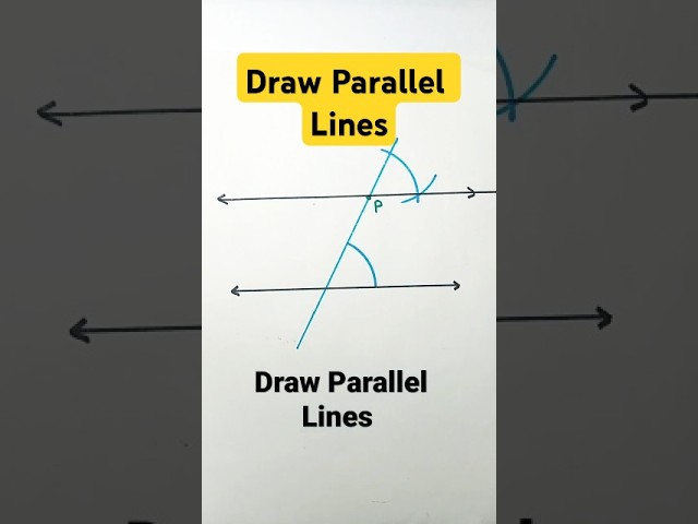
Draw Parallel lines construction of parallel lines parallel lines construction parallel lines with compass #maths #shorts #ytshorts ...
444,220 views


![[Tut] Instance on Face with Rotation and Scale - Blender Geometry Nodes 3.4](/api/proxy/image?url=https%3A%2F%2Fi.ytimg.com%2Fvi%2FFl-igAAMCeM%2Fsddefault.jpg)