Upload date
All time
Last hour
Today
This week
This month
This year
Type
All
Video
Channel
Playlist
Movie
Duration
Short (< 4 minutes)
Medium (4-20 minutes)
Long (> 20 minutes)
Sort by
Relevance
Rating
View count
Features
HD
Subtitles/CC
Creative Commons
3D
Live
4K
360°
VR180
HDR
3,814 results
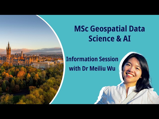
Discover our new MSc in Geospatial Data Science & AI and develop cutting‑edge skills in GIS, GeoAI, ML, and big data. For more ...
75 views
6 hours ago
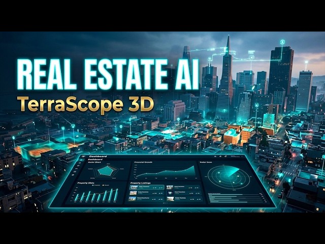
Every city holds patterns most people never see. TerraScope 3D turns raw geospatial data into a live, interactive 3D intelligence ...
0 views
1 day ago
In this video, we explore the best geospatial image annotation tools in 2026. From high-resolution satellite imagery labeling to ...
30 views
5 days ago
Rapid access to actionable geospatial insights is essential during disasters such as floods, wildfires, or earthquakes, where timely ...
287 views
4 days ago
This video is intended for audience who are interested in mapping and geospatial analysis. The video shows steps of ...
14 views
15 hours ago
"Geo-Project Antiquity & Heritage" 0:00 (1) History of Malacca (Malaysia) and background 4:55 (2) The Maps 13:00 (3) Boots on ...
28,399 views
6 days ago
If you've built your career in ArcGIS or traditional GIS tools, you already have the hardest skill: spatial thinking. What you might be ...
2,201 views
Geospatial intelligence is no longer a niche capability - it's the operating system for the real world. This video introduces ...
43 views
Jorge Gomez Understanding geospatial data with duckdb Social Networks: https://github.com/JorgeMartinezG ...
52 views
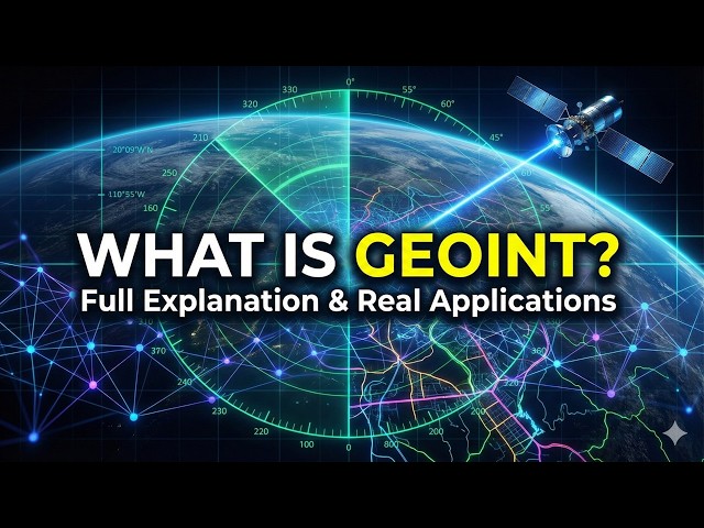
Geospatial Intelligence (GEOINT) is the process of collecting, analyzing, and interpreting geospatial data to support ...
120 views
Ash Wheeler, Chief Product Officer at Ordnance Survey, explains how they unlocked the power of geospatial data by migrating ...
113 views
My latest coding project started trending on X and people were sharing it saying I vibe coded Palantir. Then the actual Palantir ...
273,983 views
7 days ago
Geo Week brings together geospatial and mapping professionals to explore how data, maps, and advanced technologies can ...
17,181 views
Artificial Intelligence is reshaping how we work, communicate, and deliver public services—yet many professionals still aren't sure ...
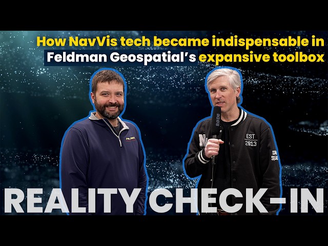
At Geo Week 2026, we asked Matthew Skibba, Director of Reality Capture at Feldman Geospatial, a practical question: How do ...
3 hours ago
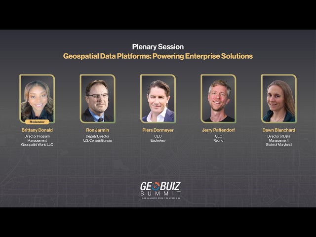
How are geospatial data platforms evolving from simple data storage systems into powerful decision-support infrastructure for ...
ArcGIS 3D visualization provides powerful intelligence capabilities by presenting realistic, high‑fidelity models of the environment, ...
49 views
Are you struggling with outdated parcel data or disconnected land systems that hinder efficiency and decision-making? Discover ...
3 views
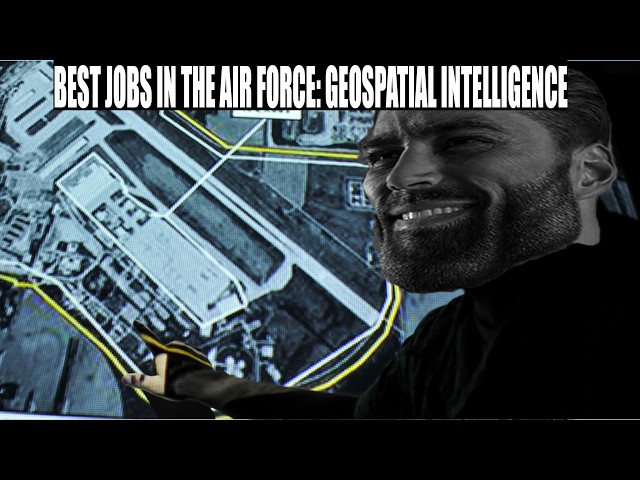
Going over why Geospatial Intelligence is one of the best enlisted jobs in the Air Force.
233 views