Upload date
All time
Last hour
Today
This week
This month
This year
Type
All
Video
Channel
Playlist
Movie
Duration
Short (< 4 minutes)
Medium (4-20 minutes)
Long (> 20 minutes)
Sort by
Relevance
Rating
View count
Features
HD
Subtitles/CC
Creative Commons
3D
Live
4K
360°
VR180
HDR
148,319 results
Most data is about what happens, but spatial data adds the crucial dimension of where it happens. Whether you're tracking real ...
16,149 views
1 year ago
What is GIS? https://gisgeography.com/what-is-gis/ US Maps - https://usmaps.com/ Esri Mapping Software - https://www.esri.com/ ...
280,174 views
2 years ago
In the subject of Geographic Information Systems (GIS), the vector and raster formats are two ways of representing real-world ...
39,676 views
For many GIS professionals, SQL and databases can feel intimidating. They seem like tools for data engineers, not map makers.
12,227 views
6 months ago
Core Concepts: Learn the basics of GeoDataFrames, spatial joins, and geometry operations. Handling Geospatial Data: Work with ...
79,510 views
Rapid advancements in geospatial technologies such as geographical information systems (GIS), global position systems (GPS) ...
23,550 views
3 years ago
Geospatial mapping turns geographic data into visual insights that support real-world decisions. In this video, we explain how GIS, ...
496 views
1 month ago
Get actionable insights from your data at scale. Enhance geospatial data and use processing algorithms, all in one platform.
523 views
For data-driven organizations, it is critical to have reliable ETL processes. As an open-source tool, Geocint can help organizations ...
194 views
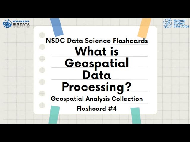
Learn about Geospatial Analysis with the National Student Data Corps! Why is geospatial data processing important? What are ...
411 views
Collecting LiDAR data efficiently and accurately is important, but it's only half of the equation! Once you have your data, what do ...
37,262 views
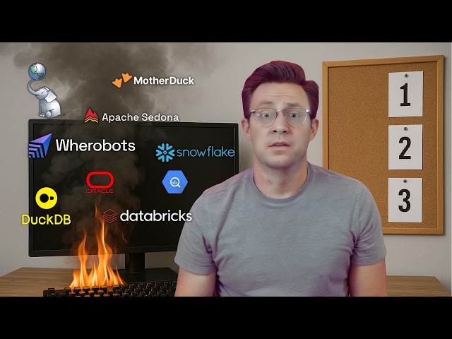
In this video, we dive into every tool designed for spatial analytics, data storage, and geospatial data processing. Whether you're ...
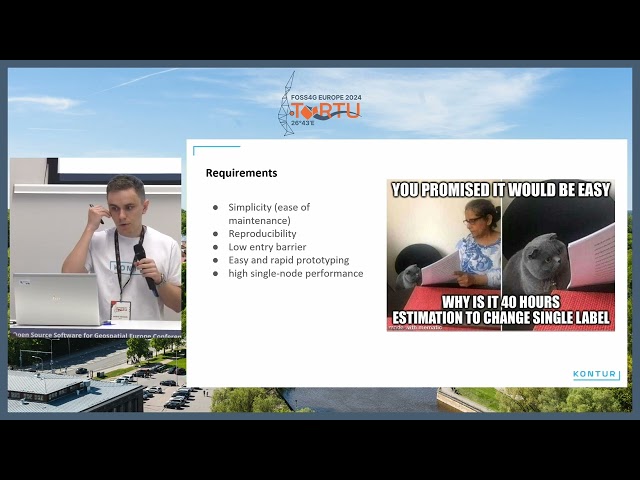
5,991 views
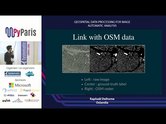
Martin Christen talks at virtual PyCon HK, May 9, 2020 Conference Schedule: https://pycon.hk/schedule-pycon-hk-2020-spring/
368 views
5 years ago
Geospatial data processing for image automatic analysis (Raphaël Delhome, Oslandia.
100 views
7 years ago
Learn QGIS and Modern GIS in the Spatial Lab ➡️ https://forrest.nyc/spatial-lab/ ⬅️ Get ready to learn QGIS with this complete ...
556,813 views
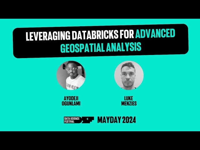
A talk by Ayodeji Ogunlami and Luke Menzies from Advancing Analytics. In the rapidly evolving field of Geographic Information ...
442 views
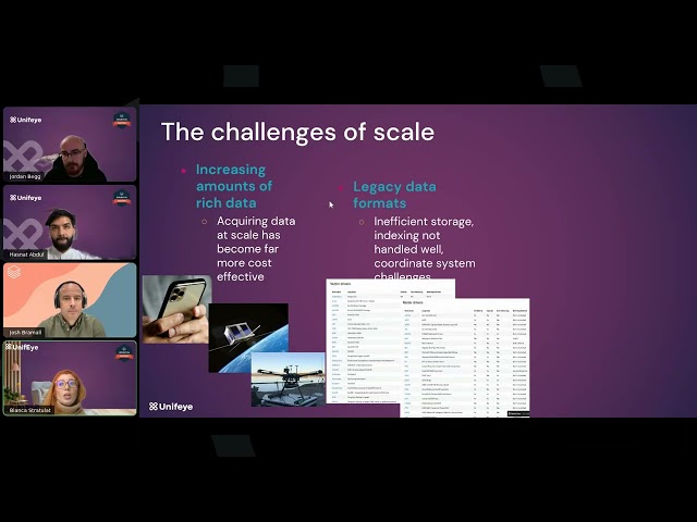
Most organizations capture huge volumes of spatial data, including addresses, coordinates, routes, and catchments, but struggle ...
145 views
4 months ago
The problem of matching GPS locations to roads and local government areas (LGAs) involves handling large datasets and a ...
362 views
8 months ago
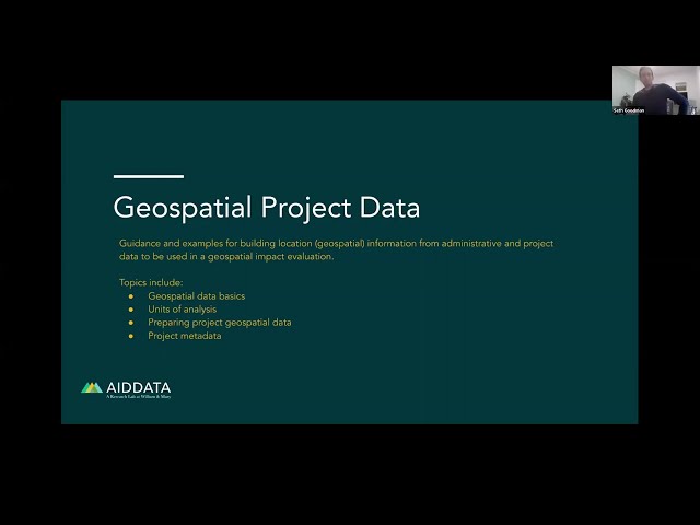
Guidance and examples for building location (geospatial) information from administrative and project data to be used in a ...
759 views
If your interested into deep learning for the satellite images, this full hands-on coding workshop is best resources for you. The full ...
112,454 views