Upload date
All time
Last hour
Today
This week
This month
This year
Type
All
Video
Channel
Playlist
Movie
Duration
Short (< 4 minutes)
Medium (4-20 minutes)
Long (> 20 minutes)
Sort by
Relevance
Rating
View count
Features
HD
Subtitles/CC
Creative Commons
3D
Live
4K
360°
VR180
HDR
1,031 results
... Cloud-Optimized GeoTIFF, PMTiles) reduce cost and increase flexibility - What a spatial data catalog does (Apache Iceberg, ...
1,376 views
1 day ago
In this video, I analyze the architecture and art direction of Hamnet and how space becomes emotional language. Rather than ...
31 views
4 days ago
Role of GIS in climate monitoring • Satellite data & remote sensing • Climate mapping & spatial analysis • Real-world applications ...
17 views
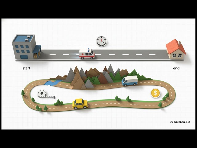
By bridging graph theory with spatial data, these materials illustrate how GIS helps optimize the movement of people, goods, and ...
90 views
7 days ago
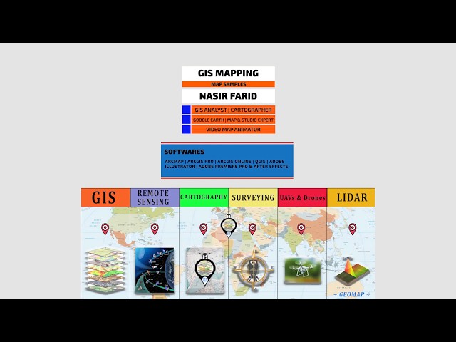
Geomatics Researcher & GIS Analyst Specializing in GIS, remote sensing, and spatial analysis for research, urban planning, and ...
13 views
"Geo-Project Antiquity & Heritage" 0:00 (1) History of Malacca (Malaysia) and background 4:55 (2) The Maps 13:00 (3) Boots on ...
7,409 views
3 days ago
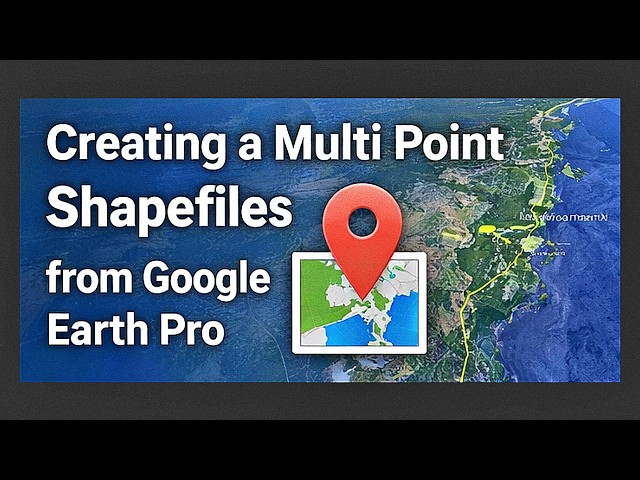
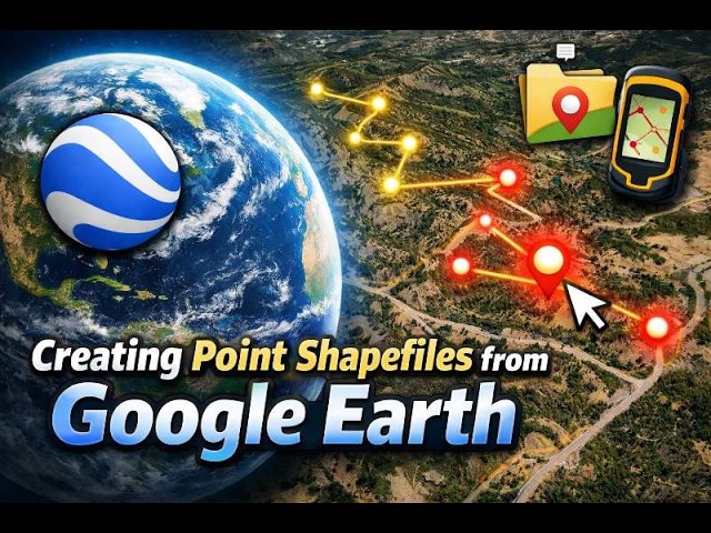
The video also explains the difference between point and multipoint feature classes and when to use each in spatial analysis.
28 views
Session 3 — Pattern Detection & Analysis at Scale Spatial analysis becomes powerful when it moves beyond visualization and ...
0 views
0
... and organize attribute fields for accurate mapping and spatial analysis. The video also explains common conversion issues and ...
22 views
Live presentations from the NGC 2026. Competitors share their solutions to event based transit strain around Hamiltons TD ...
380 views
Streamed 6 days ago
In this demo, we present Agroview, a cloud- and AI-based decision support platform designed to transform agricultural data into ...
127 views
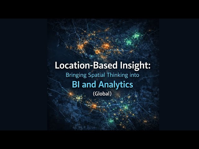
Register here: https://luma.com/fc570gca Session 1 — GeoAnalytics Foundations: Spatial Thinking for BI Teams Spatial ...
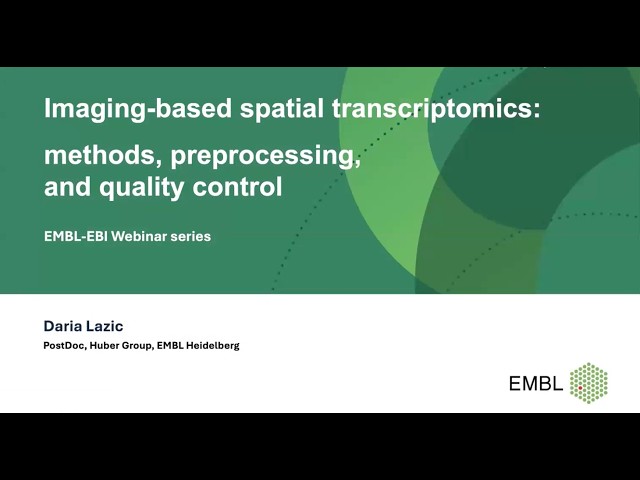
In this webinar, we will give an overview of imaging-based spatial transcriptomics (IST) technologies and discuss how ...
65 views
2 days ago
Performance & Accuracy: How they handle complex tasks like spatial analysis and handwriting recognition. Integration: How they ...
15 views
... Data Download, Cartography, Geospatial Analysis, Spatial Data, Open Data, GIS Tutorial, Mapping Software, Free GIS Data, ...
47 views
From the 3D spatial data discovered by the VP-8 Image Analyzer to the hidden geometric scaffolding buried beneath the visible ...
22,317 views
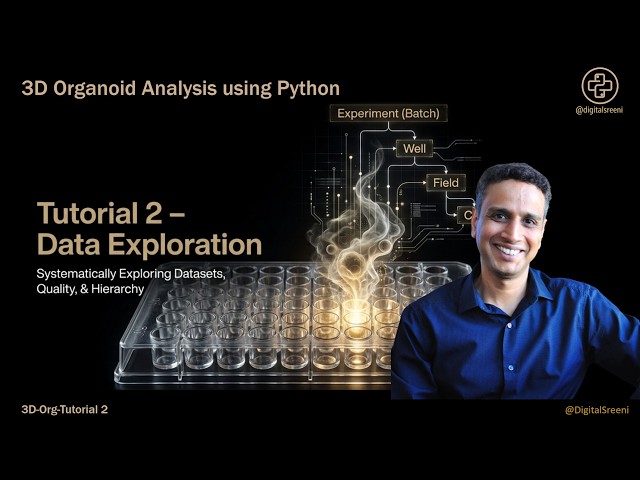
3D Organoid Data Exploration: Understanding Structure, Quality & Relationships in Python Before analyzing organoid data, you ...
265 views
Register here: https://luma.com/fc570gca Session 2 — Spatial Data Preparation & Enrichment Workflows Spatial analytics does ...
Register here: https://luma.com/fc570gca Session 4 — Spatial Visualization & Reporting Across BI Tools Spatial analysis only ...
Postgres Course: https://www.udemy.com/course/gis-web-mapping-with-react-leaflet-postgresql-and-postgis/?
25 views