Upload date
All time
Last hour
Today
This week
This month
This year
Type
All
Video
Channel
Playlist
Movie
Duration
Short (< 4 minutes)
Medium (4-20 minutes)
Long (> 20 minutes)
Sort by
Relevance
Rating
View count
Features
HD
Subtitles/CC
Creative Commons
3D
Live
4K
360°
VR180
HDR
11,418,218 results
2.29K subscribers
3.73M subscribers
566 subscribers
977 subscribers
SEO is evolving! Learn all about Generative Engine Optimization, and how to get your content quoted by AI ...
50,362 views
8 months ago
By watching this video you can lern How to set Geolocation in Autocad topogrphy sheet,how can you compare Actual Land ...
112,984 views
10 years ago
conquest #countries #greenland #strength #strategy #continent #power #demographics #maps #geographynow #CountryBalls ...
792,746 views
2 years ago
Greece is not just a holiday destination — it is one of the most strategically positioned countries on Earth. From controlling key ...
30,895 views
5 days ago
Cover Page File: https://ko-fi.com/s/6016a6af74 I know for a UV Sphere you don't need such a complicate setup. but Face Tangent ...
40,227 views
3 years ago
From cliffside death traps to rail lines hanging above oceans, this video takes you deep into the world's most terrifying routes.
1,468 views
5 hours ago
ID: 78678920 ▽Join the Channel for exclusive Lenny emojis and badges!
3,249,012 views
4 years ago
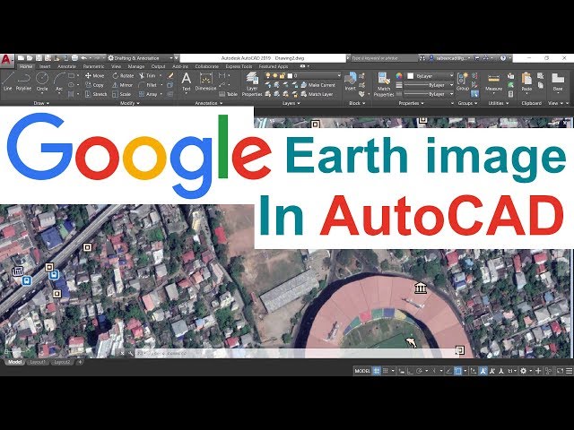
INSERTING GOOGLE EARTH IMAGE TO AUTOCAD - This Tutorial video teaches the procedure to Insert a Google Earth image to ...
1,357,539 views
7 years ago
So you've seen those location-tagging numbers on maps and GPS devices before, but do you actually know what they mean?
861,249 views
9 years ago
Buy delicious Magic Spoon cereal: https://magicspoon.com/jacksucks & get $5 with code JACKSUCKS! Drawing Europe Entirely ...
1,916,311 views
Explore practical geospatial and GIS skills with courses and resources from GeoDelta Labs: https://www.geodeltalabs.com ...
1,967,174 views
5 years ago
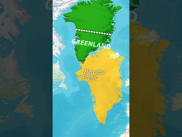
Sure, Greenland looks massive on the map — but it's hiding a secret under all that ice. In this video, we'll uncover the real reason ...
3,096,959 views
5 months ago
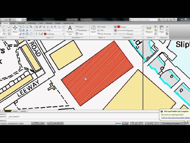
My first AutoCAD tutorial, Ever had a problem with scaling maps? Here is a very easy way to re scale and re print them in autocad.
200,518 views
15 years ago
3.19K subscribers
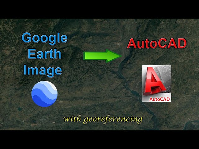
In this video, you will learn how to add a high-resolution image from Google Earth to AutoCAD, and how to georeference the ...
271,877 views
268 subscribers
12.2K subscribers
I'll edit your college essay! https://nextadmit.com.
4,809,337 views
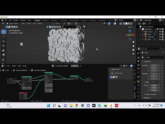
shorts Learn the basics of distribute points on faces using geometry nodes.
9,058 views
Rivers become curvier and curvier until they bump into themselves. Then, lakes follow the route of least resistance and connect to ...
45,946,332 views
Continents #strongestContinent #european #EuropeanCountries #Asia #AsiavsEurope #AsianCountries #NorthAmerica ...
18,733,978 views
1 year ago
298 subscribers
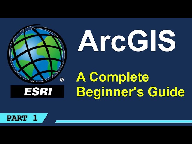
Comparison of the two Geospatial and Geographic Information Systems, ESRI's ARCGIS and the Open-Source Software QGIS.
49,180 views
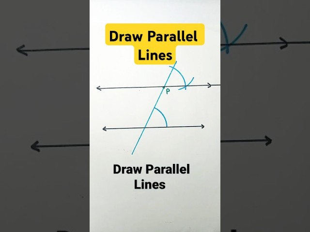
Draw Parallel lines construction of parallel lines parallel lines construction parallel lines with compass #maths #shorts #ytshorts ...
444,045 views


![[Tut] Instance on Face with Rotation and Scale - Blender Geometry Nodes 3.4](/api/proxy/image?url=https%3A%2F%2Fi.ytimg.com%2Fvi%2FFl-igAAMCeM%2Fsddefault.jpg)