Upload date
All time
Last hour
Today
This week
This month
This year
Type
All
Video
Channel
Playlist
Movie
Duration
Short (< 4 minutes)
Medium (4-20 minutes)
Long (> 20 minutes)
Sort by
Relevance
Rating
View count
Features
HD
Subtitles/CC
Creative Commons
3D
Live
4K
360°
VR180
HDR
90 results
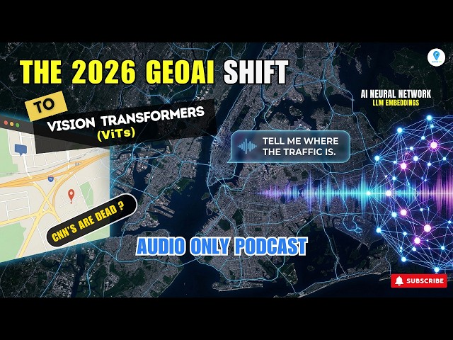
... the staggering computational costs and the critical data governance requirements needed to secure proprietary spatial data.
31 views
2 days ago
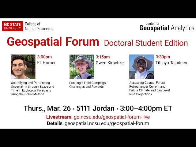
Whenever we make predictions about the future, we need to consider the uncertainty in those predictions. The more we know ...
28 views
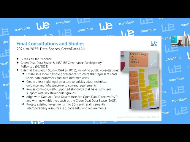
As part of the competitiveness and simplification political priority of the EC, the INSPIRE Directive will be “simplified”, with the ...
71 views
4 days ago
Jay Theodore, CTO - ArcGIS Enterprise & AI, leads this section to highlight the features of the ArcGIS Pro AI Assistant, ArcGIS ...
223 views
3 days ago
How do you verify deforestation risk across global supply chains? In this case study, Walter Matter shares how they are ...
42 views
This webinar was presented by the National Laboratory of the Rockies' geospatial data scientists Galen Maclaurin and Gabe ...
23 views
1 day ago
ENVI #SoftwareTutorial #RemoteSensing #GIS #DataAnalysis #GeospatialSoftware #TechTutorial Buy me a coffee here: ...
172 views
In our Techvibe interview with Woolpert CEO Neil Churman, he explains how AI, lidar, and geospatial data are turning maps into ...
5 views
5 days ago
As organizations race to deploy generative and agentic AI, the biggest challenge they face is not models, it's their data estate.
7,917 views
54 views
Streamed 2 days ago
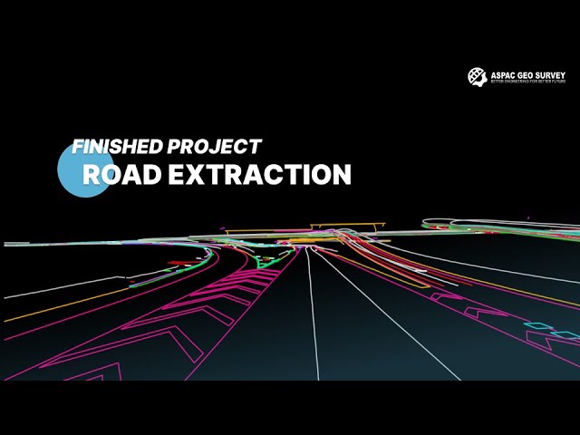
Our services include: • LiDAR data processing • Point cloud classification and extraction • 2D & 3D CAD / BIM modeling • Contours ...
0 views
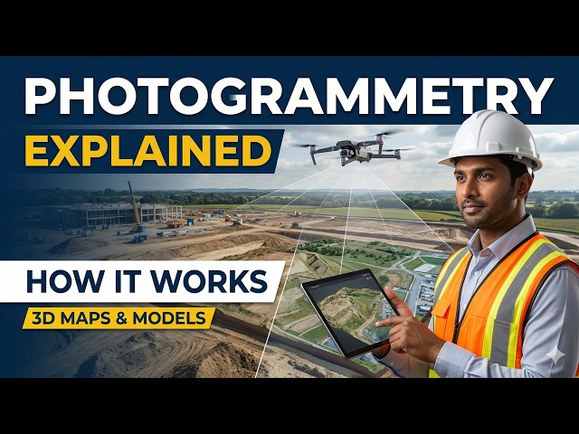
Photogrammetry is a powerful mapping technique that converts aerial images into accurate 2D maps and 3D models.
3 views
code link: ...
443 views
6 days ago
Whether you're a student, researcher, or professional,#qgis is an essential tool for anyone working with geospatial data.
153 views
A raster image in GIS is a grid-based representation of geographic data made up of pixels (or cells) arranged in rows and columns ...
Reclassification in GIS is a process used to simplify and organize spatial data by assigning new values to existing raster or vector ...
2 views
13 hours ago
MrSID (Multi-resolution Seamless Image Database) is specifically engineered for large-scale geospatial imagery, giving it a clear ...
7 views
... l'Environnement (LSCE) Leads the coordination, metrology and data processing of atmospheric greenhouse-gas observations ...
12 views
The first five layers of a Digital Twin create a real-time digital mirror. Impressive — but still reactive. Layer 6 is where the twin stops ...
8 views
... writing (B.Tech to Ph.D.) • Geospatial data processing and conceptual guidance Explore more at https://terracode.space/
Streamed 6 days ago