Upload date
All time
Last hour
Today
This week
This month
This year
Type
All
Video
Channel
Playlist
Movie
Duration
Short (< 4 minutes)
Medium (4-20 minutes)
Long (> 20 minutes)
Sort by
Relevance
Rating
View count
Features
HD
Subtitles/CC
Creative Commons
3D
Live
4K
360°
VR180
HDR
5,716 results
Learn about Geospatial Analysis with the National Student Data Corps! What is geospatial data and why is it so important?
960 views
2 years ago
FOSS4G:UK South West 2024: https://uk.osgeo.org/foss4guk2024/bristol.html Presented on 12th November 2024 Speaker: David ...
25 views
1 year ago
... querying and geospatial analysis; custom-built reporting tools produce fully formatted reports based on collected data; date and ...
143 views
7 years ago
Agenda: Introduction to Geospatial Analytics Challenges in Geospatial Analytics Real Project Architecture Data Processing Tools ...
70 views
... with spatial data or moving your spatial analysis workflow to R. I'll cover how you can get started with geospatial analysis in R, ...
328 views
5 years ago
Emily Pickering, Gabriel Schussler Today, there is emerging consensus among academics regarding the significance of cup and ...
757 views
Learn about Geospatial Analysis with the National Student Data Corps! Which techniques can help us produce advanced ...
329 views
... the presentation will focus on state-of-the-art WebGL map viewers and cloud-based solutions for performing geospatial analysis ...
711 views
6 years ago
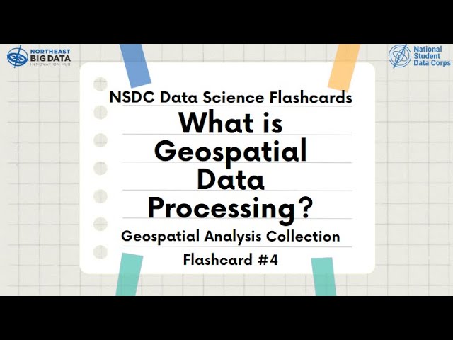
Learn about Geospatial Analysis with the National Student Data Corps! Why is geospatial data processing important? What are ...
402 views
Learn about Geospatial Analysis with the National Student Data Corps! What is the future of geospatial data analysis? How might ...
255 views
Sherrie Xie, Post-doctoral research fellow at the University of Pennsylvania gave a workshop at the R/Medicine 2022 Virtual ...
13,606 views
3 years ago
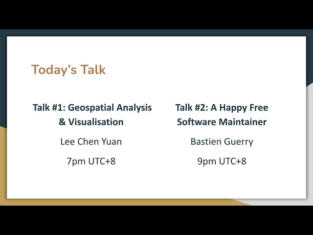
Talk #1: Geospatial Analysis & Visualisation This talk gives a basic introduction to geospatial analysis and visualisation, and how ...
136 views
This workshop is ideal for someone who has recently started using python and exploring the possibilities of it in the GIS industry.
1,432 views
4 years ago
Learn about Geospatial Analysis with the National Student Data Corps! What forms to geospatial data visualizations come in?
419 views
About the Sustainable Development Solutions Network (SDSN): The UN Sustainable Development Solutions Network (SDSN) ...
58 views
Applying Geospatial Analytics at a Massive Scale using Kafka, Spark and Elasticsearch on DC/OS - Adam Mollenkopf, Esri This ...
3,158 views
8 years ago
... Open-Source Tools: Leveraging PostgreSQL, PostGIS, and Python for Geospatial Analysis and Visualisation Slide Deck URL: ...
19 views
by Joris Van den Bossche At: FOSDEM 2018 Room: AW1.126 Scheduled start: 2018-02-04 11:30:00+01.
6,308 views
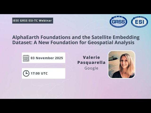
AlphaEarth Foundations and the Satellite Embedding Dataset: A New Foundation for Geospatial Analysis by Valerie Pasquarella ...
1,340 views
3 months ago
Recent Advances in Geospatial Machine Learning 21 January 2026 by by Loïc Landrieu École des ponts ParisTech Geospatial ...
282 views
4 weeks ago